215 Aspen St Ovando, MT 59854
Estimated Value: $553,277 - $1,276,000
3
Beds
2
Baths
2,004
Sq Ft
$511/Sq Ft
Est. Value
About This Home
This home is located at 215 Aspen St, Ovando, MT 59854 and is currently estimated at $1,023,092, approximately $510 per square foot. 215 Aspen St is a home located in Powell County with nearby schools including Ovando School and Powell County High School.
Ownership History
Date
Name
Owned For
Owner Type
Purchase Details
Closed on
Jun 29, 2017
Sold by
Matvey Susan and Matvey Leroy S
Bought by
Short Jerry and Short Denise
Current Estimated Value
Home Financials for this Owner
Home Financials are based on the most recent Mortgage that was taken out on this home.
Original Mortgage
$175,200
Outstanding Balance
$92,652
Interest Rate
3.94%
Mortgage Type
New Conventional
Estimated Equity
$930,440
Purchase Details
Closed on
Sep 25, 2005
Sold by
Hildebrandt Sue and Matvey Sue
Bought by
Matvey Sue
Create a Home Valuation Report for This Property
The Home Valuation Report is an in-depth analysis detailing your home's value as well as a comparison with similar homes in the area
Purchase History
| Date | Buyer | Sale Price | Title Company |
|---|---|---|---|
| Short Jerry | -- | First American Title Co | |
| Matvey Sue | -- | -- |
Source: Public Records
Mortgage History
| Date | Status | Borrower | Loan Amount |
|---|---|---|---|
| Open | Short Jerry | $175,200 |
Source: Public Records
Tax History
| Year | Tax Paid | Tax Assessment Tax Assessment Total Assessment is a certain percentage of the fair market value that is determined by local assessors to be the total taxable value of land and additions on the property. | Land | Improvement |
|---|---|---|---|---|
| 2025 | $1,862 | $525,003 | $0 | $0 |
| 2024 | $2,041 | $348,000 | $0 | $0 |
| 2023 | $2,275 | $348,000 | $0 | $0 |
| 2022 | $1,718 | $256,800 | $0 | $0 |
| 2021 | $1,756 | $256,800 | $0 | $0 |
| 2020 | $2,256 | $225,900 | $0 | $0 |
| 2019 | $2,288 | $225,900 | $0 | $0 |
| 2018 | $2,397 | $233,800 | $0 | $0 |
| 2017 | $644 | $259,933 | $0 | $0 |
| 2016 | $2,349 | $241,262 | $0 | $0 |
| 2015 | $1,161 | $186,900 | $0 | $0 |
| 2014 | $934 | $82,044 | $0 | $0 |
Source: Public Records
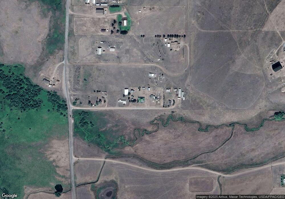
Map
Nearby Homes
- 81 Saint Benedict Ln
- 7510 Woodworth Rd
- TBD Trapper Mount
- 0 Patterson Prairie Rd Unit 353575
- 0 Patterson Prairie Rd
- (Lot #6) 13442 Vannoy Ln
- (Lot #13) 13442 Vannoy Ln
- (Lot #4) 13442 Vannoy Ln
- (Lot #10) 13442 Vannoy Ln
- (Lot #11) 13442 Vannoy Ln
- (Lot #15) 13442 Vannoy Ln
- (Lot #17) 13442 Vannoy Ln
- (Lot #19) 13442 Vannoy Ln
- (Lot #3) 13442 Vannoy Ln
- (Lot #9) 13442 Vannoy Ln
- (Lot #5) 13442 Vannoy Ln
- (Lot #7) 13442 Vannoy Ln
- (Lot #16) 13442 Vannoy Ln
- (Lot #2) 13442 Vannoy Ln
- (Lot #12) 13442 Vannoy Ln
Your Personal Tour Guide
Ask me questions while you tour the home.