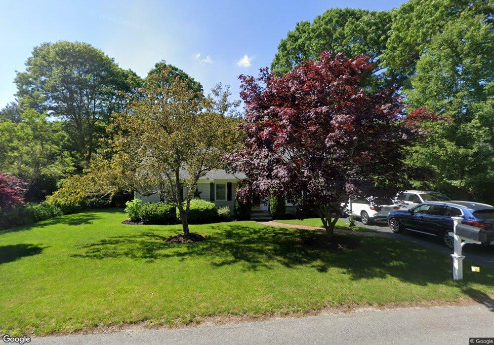
215 Capn Lijahs Rd Centerville, MA 02632
Centerville NeighborhoodEstimated Value: $609,184 - $701,000
3
Beds
3
Baths
1,092
Sq Ft
$598/Sq Ft
Est. Value
About This Home
This home is located at 215 Capn Lijahs Rd, Centerville, MA 02632 and is currently estimated at $653,546, approximately $598 per square foot. 215 Capn Lijahs Rd is a home located in Barnstable County with nearby schools including Centerville Elementary School, Barnstable United Elementary School, and Barnstable Intermediate School.
Ownership History
Date
Name
Owned For
Owner Type
Purchase Details
Closed on
Jul 25, 2025
Sold by
Brennan Thomas and Brennan Donna
Bought by
Brennan Ft and Shilalis
Current Estimated Value
Purchase Details
Closed on
Aug 6, 2020
Sold by
Vanduzer Christopher F and Vanduzer Kerri E
Bought by
Brennan Thomas and Brennan Donna
Purchase Details
Closed on
Apr 27, 1989
Sold by
Kumin Anita H
Bought by
Vanduzer Christopher F
Home Financials for this Owner
Home Financials are based on the most recent Mortgage that was taken out on this home.
Original Mortgage
$100,000
Interest Rate
10.9%
Mortgage Type
Purchase Money Mortgage
Create a Home Valuation Report for This Property
The Home Valuation Report is an in-depth analysis detailing your home's value as well as a comparison with similar homes in the area
Home Values in the Area
Average Home Value in this Area
Purchase History
| Date | Buyer | Sale Price | Title Company |
|---|---|---|---|
| Brennan Ft | -- | -- | |
| Brennan Ft | -- | -- | |
| Brennan Thomas | $436,000 | None Available | |
| Brennan Thomas | $436,000 | None Available | |
| Vanduzer Christopher F | $143,000 | -- | |
| Vanduzer Christopher F | $143,000 | -- |
Source: Public Records
Mortgage History
| Date | Status | Borrower | Loan Amount |
|---|---|---|---|
| Previous Owner | Vanduzer Christopher F | $75,000 | |
| Previous Owner | Vanduzer Christopher F | $80,000 | |
| Previous Owner | Vanduzer Christopher F | $85,000 | |
| Previous Owner | Vanduzer Christopher F | $100,000 |
Source: Public Records
Tax History Compared to Growth
Tax History
| Year | Tax Paid | Tax Assessment Tax Assessment Total Assessment is a certain percentage of the fair market value that is determined by local assessors to be the total taxable value of land and additions on the property. | Land | Improvement |
|---|---|---|---|---|
| 2025 | $4,276 | $528,500 | $152,200 | $376,300 |
| 2024 | $4,101 | $525,100 | $152,200 | $372,900 |
| 2023 | $3,856 | $462,300 | $138,400 | $323,900 |
| 2022 | $3,711 | $385,000 | $102,500 | $282,500 |
| 2021 | $3,552 | $338,600 | $102,500 | $236,100 |
| 2020 | $3,497 | $319,100 | $102,500 | $216,600 |
| 2019 | $3,348 | $296,800 | $102,500 | $194,300 |
| 2018 | $3,054 | $272,200 | $107,900 | $164,300 |
| 2017 | $2,850 | $264,900 | $107,900 | $157,000 |
| 2016 | $2,896 | $265,700 | $108,700 | $157,000 |
| 2015 | $2,770 | $255,300 | $105,400 | $149,900 |
Source: Public Records
Map
Nearby Homes
- 62 Three Ponds Dr
- 62 3 Ponds Dr
- 900 Old Stage Rd
- 73 Tern Ln
- 66 Tern Ln
- 39 Lakewood Dr
- 296 Buckskin Path
- 40 Appaloosa Way
- 315 Prince Hinckley Rd
- 87 Foxglove Rd
- 81 Monomoy Cir
- 1044 Old Falmouth Rd
- 1028 Old Falmouth Rd
- 74 Saddler Ln
- 22 Monomoy Cir
- 80 Saddler Ln
- 21 Shannon Way
- 50 Currycomb Cir
- 2181 Service Rd
- 215 Cap'N Lijas
- 225 Captain Lijah's Rd
- 225 Capn Lijahs Rd
- 207 Capn Lijahs Rd
- 212 Capn Lijahs Rd
- 73 Oxner Rd
- 429 Cap'N Lijah's Rd
- 195 Capn Lijahs Rd
- 195 Capt Lijahs Rd
- 186 Patriot Way
- 194 Capn Lijahs Rd
- 241 Capn Lijahs Rd
- 65 Oxner Rd
- 70 Oxner Rd
- 48 Masthead Ln
- 202 Patriot Way
- 195 Captain Lijah
- 156 Patriot Way
- 181 Capn Lijahs Rd
- 181 Captain Lijahs Rd