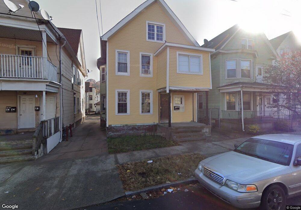
215 Farren Ave New Haven, CT 06513
Fair Haven Heights NeighborhoodEstimated Value: $292,005 - $370,000
4
Beds
3
Baths
2,316
Sq Ft
$144/Sq Ft
Est. Value
About This Home
This home is located at 215 Farren Ave, New Haven, CT 06513 and is currently estimated at $334,001, approximately $144 per square foot. 215 Farren Ave is a home located in New Haven County with nearby schools including Ross Woodward, Cold Spring School, and St Francis & St Rose Of Lima School.
Ownership History
Date
Name
Owned For
Owner Type
Purchase Details
Closed on
Jan 12, 2017
Sold by
Andrade Carlos
Bought by
Pillajo Abel and Duran Mary E
Current Estimated Value
Purchase Details
Closed on
Jan 2, 2003
Sold by
Plaunicky Ronald J
Bought by
Andrade Carlos
Home Financials for this Owner
Home Financials are based on the most recent Mortgage that was taken out on this home.
Original Mortgage
$71,250
Interest Rate
6.08%
Create a Home Valuation Report for This Property
The Home Valuation Report is an in-depth analysis detailing your home's value as well as a comparison with similar homes in the area
Home Values in the Area
Average Home Value in this Area
Purchase History
| Date | Buyer | Sale Price | Title Company |
|---|---|---|---|
| Pillajo Abel | $64,000 | -- | |
| Andrade Carlos | $75,000 | -- |
Source: Public Records
Mortgage History
| Date | Status | Borrower | Loan Amount |
|---|---|---|---|
| Previous Owner | Andrade Carlos | $71,250 |
Source: Public Records
Tax History Compared to Growth
Tax History
| Year | Tax Paid | Tax Assessment Tax Assessment Total Assessment is a certain percentage of the fair market value that is determined by local assessors to be the total taxable value of land and additions on the property. | Land | Improvement |
|---|---|---|---|---|
| 2025 | $5,089 | $129,150 | $39,060 | $90,090 |
| 2024 | $4,972 | $129,150 | $39,060 | $90,090 |
| 2023 | $4,804 | $129,150 | $39,060 | $90,090 |
| 2022 | $5,134 | $129,150 | $39,060 | $90,090 |
| 2021 | $3,698 | $84,280 | $25,550 | $58,730 |
| 2020 | $3,698 | $84,280 | $25,550 | $58,730 |
| 2019 | $2,678 | $62,300 | $25,550 | $36,750 |
| 2018 | $2,678 | $62,300 | $25,550 | $36,750 |
| 2017 | $2,410 | $62,300 | $25,550 | $36,750 |
| 2016 | $2,923 | $70,350 | $24,150 | $46,200 |
| 2015 | $2,923 | $70,350 | $24,150 | $46,200 |
| 2014 | $2,923 | $70,350 | $24,150 | $46,200 |
Source: Public Records
Map
Nearby Homes
- 190 Farren Ave
- 196 Farren Ave
- 193 Farren Ave
- 12 E Ferry St
- 172 Quinnipiac Ave
- 95 Lenox St Unit L
- 28 Farren Ave
- 1 Front St Unit 1 Kel
- 33 Chapel St
- 32 E Pearl St
- 43 E Pearl St
- 121 Lexington Ave Unit 21
- 8 Front St Unit D
- 111 Chapel St
- 191 Ferry St
- 35 Saltonstall Ave
- 533 Quinnipiac Ave
- 74 Milton St
- 71 Houston St
- 114 Blatchley Ave
- 209 Farren Ave
- 217 Farren Ave
- 205 Farren Ave
- 205 Farren Ave Unit 3
- 205 Farren Ave Unit 2
- 221 Farren Ave
- 201 Farren Ave
- 223 Farren Ave
- 88 Pardee St
- 206 Farren Ave
- 218 Farren Ave
- 84 Pardee St
- 200 Farren Ave
- 189 Farren Ave
- 222 Farren Ave
- 271 Fairmont Ave
- 105 Pardee St
- 99 Pardee St
- 265 Fairmont Ave
- 185 Farren Ave