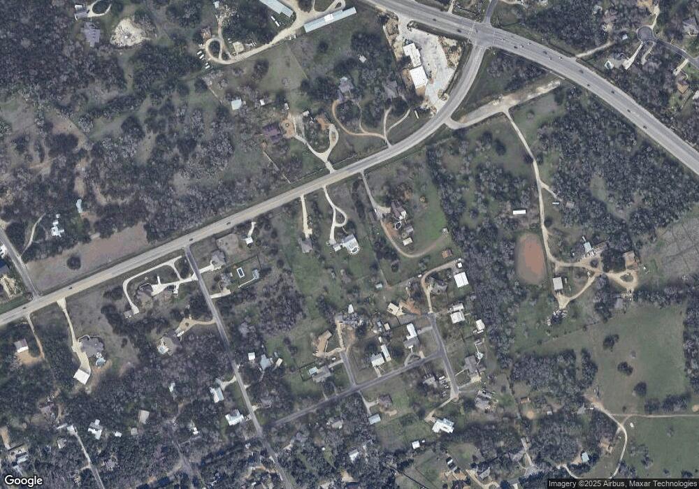
215 Fm 3405 Georgetown, TX 78633
HighPointe NeighborhoodEstimated Value: $709,000 - $775,000
--
Bed
1
Bath
2,656
Sq Ft
$281/Sq Ft
Est. Value
About This Home
This home is located at 215 Fm 3405, Georgetown, TX 78633 and is currently estimated at $747,470, approximately $281 per square foot. 215 Fm 3405 is a home with nearby schools including Jo Ann Ford Elementary School, Douglas Benold Middle School, and Georgetown High School.
Ownership History
Date
Name
Owned For
Owner Type
Purchase Details
Closed on
Oct 17, 2013
Sold by
Robinson James E and Robinson Jodi L
Bought by
Lyons Howard and Lyons Jennifer
Current Estimated Value
Home Financials for this Owner
Home Financials are based on the most recent Mortgage that was taken out on this home.
Original Mortgage
$353,000
Outstanding Balance
$233,697
Interest Rate
4.62%
Mortgage Type
VA
Estimated Equity
$513,773
Create a Home Valuation Report for This Property
The Home Valuation Report is an in-depth analysis detailing your home's value as well as a comparison with similar homes in the area
Home Values in the Area
Average Home Value in this Area
Purchase History
| Date | Buyer | Sale Price | Title Company |
|---|---|---|---|
| Lyons Howard | -- | Ctot |
Source: Public Records
Mortgage History
| Date | Status | Borrower | Loan Amount |
|---|---|---|---|
| Open | Lyons Howard | $353,000 |
Source: Public Records
Tax History Compared to Growth
Tax History
| Year | Tax Paid | Tax Assessment Tax Assessment Total Assessment is a certain percentage of the fair market value that is determined by local assessors to be the total taxable value of land and additions on the property. | Land | Improvement |
|---|---|---|---|---|
| 2025 | $7,935 | $653,265 | -- | -- |
| 2024 | $7,935 | $593,877 | -- | -- |
| 2023 | $6,945 | $539,888 | $0 | $0 |
| 2022 | $8,260 | $490,807 | $0 | $0 |
| 2021 | $8,325 | $446,188 | $156,058 | $348,713 |
| 2020 | $7,698 | $405,625 | $133,959 | $271,666 |
| 2019 | $8,138 | $413,517 | $112,303 | $301,214 |
| 2018 | $7,594 | $411,330 | $112,303 | $310,689 |
| 2017 | $7,402 | $373,936 | $104,803 | $269,133 |
| 2016 | $7,393 | $373,494 | $82,303 | $291,191 |
| 2015 | $6,158 | $349,401 | $82,303 | $267,098 |
| 2014 | $6,158 | $329,243 | $0 | $0 |
Source: Public Records
Map
Nearby Homes
- 200 Harbor Cir
- 14550 Rr 2338
- 210 Buoy Cir
- 108 Tiller Dr
- 221 Wild Lily Trail
- 107 Tiller Dr
- 707 Harbor Dr
- 410 Shady Tree Dr
- 204 Woodland Park
- 305 Shady Tree Dr
- 128 San Juan
- 101 Timber Line Rd
- 107 W Majestic Oak Ln
- 524 Highland Spring Ln
- 110 Starlight Trail
- 114 Trailridge Rd
- 309 Hickory Creek Rd
- 150 Mockingbird Ln
- 128 Mockingbird Ln
- 307 Highland Spring Ln
- 215 N Lake Rd
- 191 N Lake Rd
- 102 Harbor Cove
- 103 Harbor Cir
- 103 Harbor Cove
- 102 Harbor Cir
- 205 Harbor Dr
- 207 Harbor Dr
- 100 Buoy Dr
- 190 Fm 3405
- 104 Buoy Dr
- 110 Buoy Dr
- 301 Harbor Dr
- 100 Harbor Cir
- 112 Buoy Dr
- - Buoy Dr
- 150 Fm 3405
- 4.89 Acres Fm3405 Fm 3405
- 4.89 Acres FM3405 Farm To Market Road 3405
- 200 Harbor Dr
