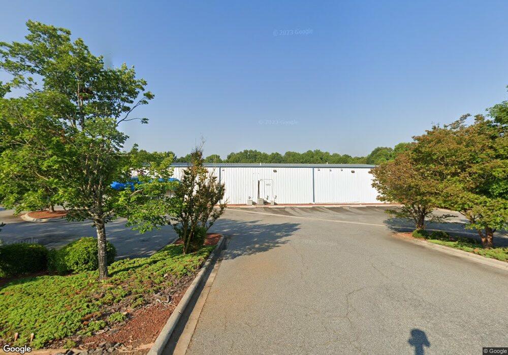
215 Forbes Ave Unit NULL Salisbury, NC 28147
Estimated Value: $1,245,942
--
Bed
--
Bath
9,600
Sq Ft
$130/Sq Ft
Est. Value
About This Home
This home is located at 215 Forbes Ave Unit NULL, Salisbury, NC 28147 and is currently estimated at $1,245,942, approximately $129 per square foot. 215 Forbes Ave Unit NULL is a home located in Rowan County with nearby schools including Knollwood Elementary School, Knox Middle School, and North Rowan Middle School.
Ownership History
Date
Name
Owned For
Owner Type
Purchase Details
Closed on
Oct 24, 2019
Sold by
Zpe Properties V Llc
Bought by
Felts Property Holdings Llc
Current Estimated Value
Home Financials for this Owner
Home Financials are based on the most recent Mortgage that was taken out on this home.
Original Mortgage
$479,500
Outstanding Balance
$420,066
Interest Rate
3.5%
Mortgage Type
Future Advance Clause Open End Mortgage
Estimated Equity
$825,876
Purchase Details
Closed on
Jun 15, 2012
Sold by
Farmers & Merchants Bank Of Granite Quar
Bought by
Zpe Properties V Llc
Purchase Details
Closed on
Dec 29, 2010
Sold by
Hashemzadeh Bijan and Hashemzadeh Crystal
Bought by
Farmers & Merchants Bank Of Granite Quar
Create a Home Valuation Report for This Property
The Home Valuation Report is an in-depth analysis detailing your home's value as well as a comparison with similar homes in the area
Home Values in the Area
Average Home Value in this Area
Purchase History
| Date | Buyer | Sale Price | Title Company |
|---|---|---|---|
| Felts Property Holdings Llc | $695,000 | None Available | |
| Zpe Properties V Llc | $325,000 | None Available | |
| Farmers & Merchants Bank Of Granite Quar | $278,824 | None Available |
Source: Public Records
Mortgage History
| Date | Status | Borrower | Loan Amount |
|---|---|---|---|
| Open | Felts Property Holdings Llc | $479,500 |
Source: Public Records
Tax History Compared to Growth
Tax History
| Year | Tax Paid | Tax Assessment Tax Assessment Total Assessment is a certain percentage of the fair market value that is determined by local assessors to be the total taxable value of land and additions on the property. | Land | Improvement |
|---|---|---|---|---|
| 2025 | $8,516 | $712,064 | $43,815 | $668,249 |
| 2024 | $8,516 | $712,064 | $43,815 | $668,249 |
| 2023 | $8,516 | $712,064 | $43,815 | $668,249 |
| 2022 | $9,360 | $679,695 | $39,370 | $640,325 |
| 2021 | $9,360 | $679,695 | $39,370 | $640,325 |
| 2020 | $9,360 | $679,695 | $39,370 | $640,325 |
| 2019 | $9,360 | $679,695 | $39,370 | $640,325 |
| 2018 | $6,244 | $459,542 | $39,370 | $420,172 |
| 2017 | $6,211 | $459,542 | $39,370 | $420,172 |
| 2016 | $6,041 | $459,542 | $39,370 | $420,172 |
| 2015 | $6,077 | $459,542 | $39,370 | $420,172 |
| 2014 | $5,297 | $405,273 | $39,370 | $365,903 |
Source: Public Records
Map
Nearby Homes
- 128 Rowan Mill Rd
- 2424 Cranberry Way
- 2248 Cranberry Way
- 0 Suzannes Rd
- 282 Winston Ln
- 2260 Cranberry Way
- 1020 Suzannes Rd
- 0 601 Hwy Unit CAR4122412
- 110 Par Dr
- 0 W Jake Alexander Blvd Unit CAR4313515
- 0 W Jake Alexander Blvd Unit CAR4042762
- 701 Airport Rd
- 1011 Rachel Ln
- 709 Sunset Dr
- 704 Colby Cir
- 402 Swaim Ct
- 1066 Rachel Ln
- 1084 Rachel Ln
- 153 Grants Landing Dr
- 152 Grants Landing Dr
- 215 Forbes Ave
- 3124 Raymond Ave
- 3121 Corliss St
- 3121 Corliss St Unit B
- 3118 Raymond Ave
- 3118 S Main St
- 3115 Corliss St
- 3115 Corliss St Unit C
- 305 Forbes Ave
- 3118 Corliss Ave
- 3110 Raymond Ave
- 3111 Corliss Ave
- 3115 Raymond Ave
- 3116 Corliss Ave
- 3114 Corliss Ave
- 3111 Raymond Ave
- 316 Forbes Ave
- 3107 Corliss Ave
- 3106 Raymond Ave
- 3121 Hodge St