215 Forrest Ln Swedesboro, NJ 08085
Woolwich Township NeighborhoodEstimated Value: $411,132 - $691,000
--
Bed
--
Bath
3,000
Sq Ft
$191/Sq Ft
Est. Value
About This Home
This home is located at 215 Forrest Ln, Swedesboro, NJ 08085 and is currently estimated at $574,283, approximately $191 per square foot. 215 Forrest Ln is a home located in Gloucester County with nearby schools including Margaret C Clifford School, Gen. Charles G. Harker School, and Gov. Charles C. Stratton School.
Ownership History
Date
Name
Owned For
Owner Type
Purchase Details
Closed on
Dec 30, 2004
Sold by
Bonnes Peter James and Bonnes Marina
Bought by
Cirbus Edward and Cirbus Kristin
Current Estimated Value
Home Financials for this Owner
Home Financials are based on the most recent Mortgage that was taken out on this home.
Original Mortgage
$75,000
Outstanding Balance
$37,816
Interest Rate
5.73%
Mortgage Type
Purchase Money Mortgage
Estimated Equity
$536,467
Purchase Details
Closed on
Sep 21, 2001
Sold by
Pulte Homes Of Nj Ltd Partnership
Bought by
Bonnes Peter James and Bonnes Marina
Home Financials for this Owner
Home Financials are based on the most recent Mortgage that was taken out on this home.
Original Mortgage
$203,328
Interest Rate
6.93%
Create a Home Valuation Report for This Property
The Home Valuation Report is an in-depth analysis detailing your home's value as well as a comparison with similar homes in the area
Home Values in the Area
Average Home Value in this Area
Purchase History
| Date | Buyer | Sale Price | Title Company |
|---|---|---|---|
| Cirbus Edward | $405,000 | Franklin Title Agency | |
| Bonnes Peter James | $254,160 | Surety Title Corporation |
Source: Public Records
Mortgage History
| Date | Status | Borrower | Loan Amount |
|---|---|---|---|
| Open | Cirbus Edward | $75,000 | |
| Previous Owner | Bonnes Peter James | $203,328 |
Source: Public Records
Tax History Compared to Growth
Tax History
| Year | Tax Paid | Tax Assessment Tax Assessment Total Assessment is a certain percentage of the fair market value that is determined by local assessors to be the total taxable value of land and additions on the property. | Land | Improvement |
|---|---|---|---|---|
| 2025 | $2,854 | $85,000 | $72,800 | $12,200 |
| 2024 | $2,804 | $85,000 | $72,800 | $12,200 |
| 2023 | $2,804 | $85,000 | $72,800 | $12,200 |
| 2022 | $2,862 | $85,000 | $72,800 | $12,200 |
| 2021 | $3,486 | $85,000 | $72,800 | $12,200 |
| 2020 | $2,916 | $85,000 | $72,800 | $12,200 |
| 2019 | $3,486 | $92,800 | $82,800 | $10,000 |
| 2018 | $3,472 | $92,800 | $82,800 | $10,000 |
| 2017 | $3,404 | $92,800 | $82,800 | $10,000 |
| 2016 | $3,371 | $92,800 | $82,800 | $10,000 |
| 2015 | $12,961 | $365,200 | $82,800 | $282,400 |
| 2014 | $12,315 | $365,200 | $82,800 | $282,400 |
Source: Public Records
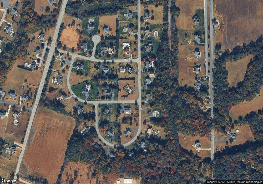
Map
Nearby Homes
- 201 Weston Dr
- 1573 Oldmans Creek Rd
- 104 Waterford Way
- 613 Sammy St
- 213 Dalton Dr
- 81 Wexford Dr S
- Greyson Plan at The Ridings at Woolwich
- Hadley Plan at The Ridings at Woolwich
- Greenbriar Plan at The Ridings at Woolwich
- Chelsea Plan at The Ridings at Woolwich
- Winterberry Plan at The Ridings at Woolwich
- Belmont Plan at The Ridings at Woolwich
- 105 Sammy St
- 180 Cambridge Blvd
- 137 Davidson Rd
- 555 Woodstown Rd
- 194 Jockey Hollow Run
- 195 Hunters Run
- 1932 Kings Hwy
- 5 Wesley Dr
- 134 Nottingham Way
- 205 Forrest Ln
- 218 Forrest Ln
- 141 Nottingham Way
- 210 Forrest Ln
- 123 Sherwood Dr
- 202 Forrest Ln
- 133 Nottingham Way
- 304 Forrest Ln
- 134 Sherwood Dr
- 315 Forrest Ln
- 122 Nottingham Way
- 203 Sherwood Ct
- 331 Forrest Ln
- 312 Forrest Ln
- 136 Forrest Ln
- 121 Nottingham Way
- 318 Forrest Ln
- 106 Nottingham Way
- 125 Forrest Ln