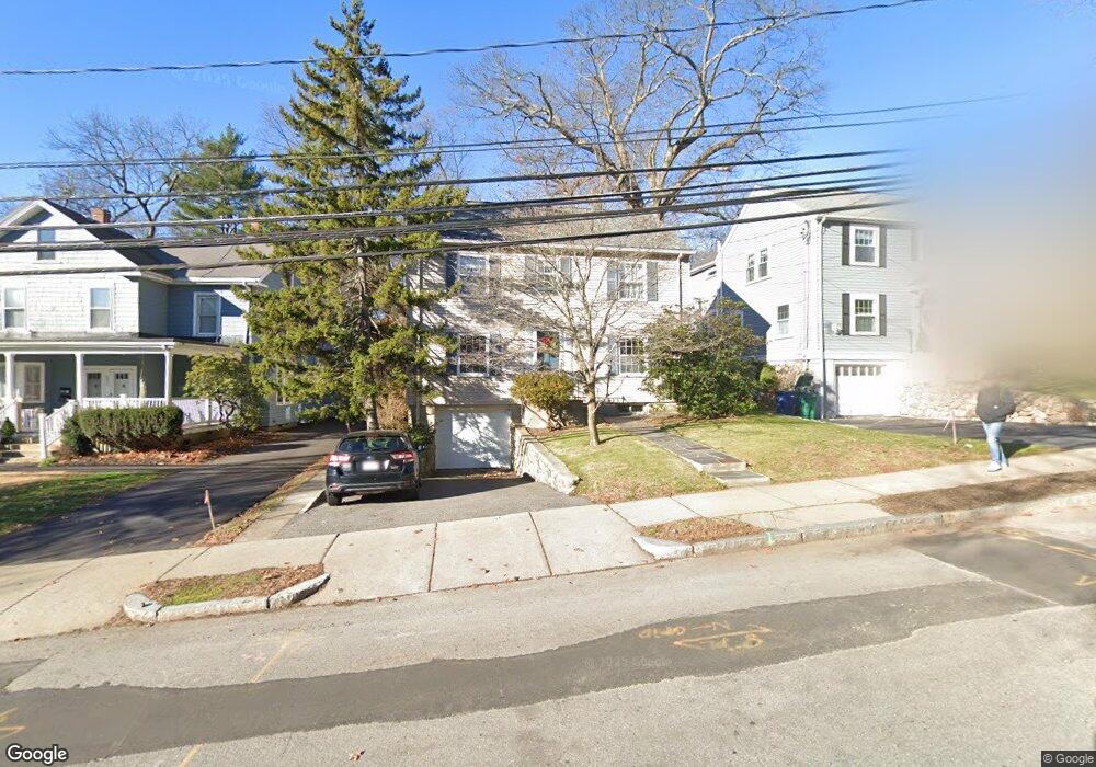
215 Grove St Auburndale, MA 02466
Auburndale NeighborhoodEstimated Value: $1,062,000 - $1,301,774
5
Beds
2
Baths
1,584
Sq Ft
$745/Sq Ft
Est. Value
About This Home
This home is located at 215 Grove St, Auburndale, MA 02466 and is currently estimated at $1,179,944, approximately $744 per square foot. 215 Grove St is a home located in Middlesex County with nearby schools including Williams Elementary School, Charles E Brown Middle School, and Newton South High School.
Ownership History
Date
Name
Owned For
Owner Type
Purchase Details
Closed on
Apr 18, 1989
Sold by
Stopa Edward G
Bought by
Collins John M
Current Estimated Value
Create a Home Valuation Report for This Property
The Home Valuation Report is an in-depth analysis detailing your home's value as well as a comparison with similar homes in the area
Home Values in the Area
Average Home Value in this Area
Purchase History
| Date | Buyer | Sale Price | Title Company |
|---|---|---|---|
| Collins John M | $233,000 | -- |
Source: Public Records
Mortgage History
| Date | Status | Borrower | Loan Amount |
|---|---|---|---|
| Open | Collins John M | $249,000 | |
| Closed | Collins John M | $40,000 | |
| Closed | Collins John M | $182,000 | |
| Closed | Collins John M | $182,700 |
Source: Public Records
Tax History Compared to Growth
Tax History
| Year | Tax Paid | Tax Assessment Tax Assessment Total Assessment is a certain percentage of the fair market value that is determined by local assessors to be the total taxable value of land and additions on the property. | Land | Improvement |
|---|---|---|---|---|
| 2025 | $8,837 | $901,700 | $828,500 | $73,200 |
| 2024 | $8,544 | $875,400 | $804,400 | $71,000 |
| 2023 | $8,123 | $797,900 | $611,300 | $186,600 |
| 2022 | $7,772 | $738,800 | $566,000 | $172,800 |
| 2021 | $7,500 | $697,000 | $534,000 | $163,000 |
| 2020 | $7,277 | $697,000 | $534,000 | $163,000 |
| 2019 | $7,072 | $676,700 | $518,400 | $158,300 |
| 2018 | $6,739 | $622,800 | $470,000 | $152,800 |
| 2017 | $6,533 | $587,500 | $443,400 | $144,100 |
| 2016 | $6,249 | $549,100 | $414,400 | $134,700 |
| 2015 | $5,958 | $513,200 | $387,300 | $125,900 |
Source: Public Records
Map
Nearby Homes
- 27 Oakwood Rd
- 17 Lasell St
- 2202 Commonwealth Ave Unit 2
- 2202 Commonwealth Ave Unit 1
- 283 Melrose St
- 224 Auburn St Unit 224
- 224 Auburn St Unit A
- 226 Auburn St Unit 226
- 283 Woodland Rd
- 17 Deforest Rd
- 1754 Washington St
- 13 Weir St
- 1639 Washington St
- 2084 Washington St
- 62-64 Rowe St Unit B
- 17 Gilbert St
- 51 Bourne St
- 10 Lorraine Cir
- 1640 Commonwealth Ave
- 45 Moulton St
- 221 Grove St
- 221 Grove St Unit 2
- 221 Grove St Unit 1
- 205 Grove St
- 225 Grove St
- 225 Grove St Unit 3
- 225 Grove St
- 225 Grove St Unit 1
- 197 Grove St
- 210 Grove St
- 66 Williston Rd
- 18 Norumbega Ct
- 233 Grove St
- 222 Grove St
- 216 Grove St
- 24 Robin Dell St
- 204 Grove St
- 72 Williston Rd
- 228 Grove St
- 191 Grove St