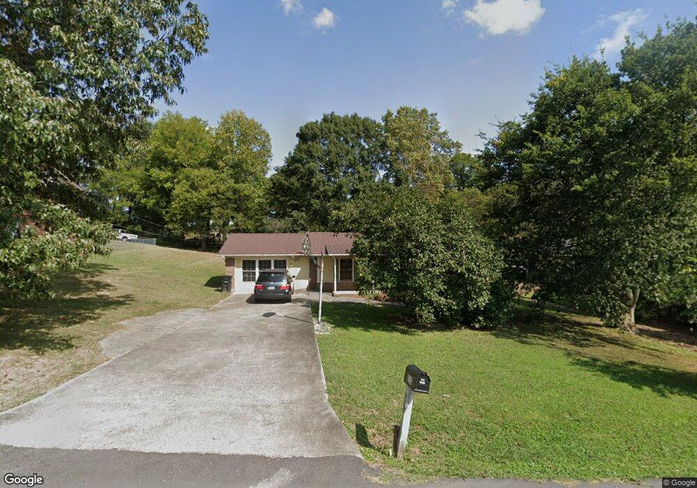
215 Hunt Dr Unit 16 Calhoun, GA 30701
Estimated Value: $238,000 - $267,000
3
Beds
2
Baths
1,603
Sq Ft
$155/Sq Ft
Est. Value
About This Home
This home is located at 215 Hunt Dr Unit 16, Calhoun, GA 30701 and is currently estimated at $249,094, approximately $155 per square foot. 215 Hunt Dr Unit 16 is a home located in Gordon County with nearby schools including Calhoun Primary School, Calhoun Elementary School, and Calhoun Middle School.
Ownership History
Date
Name
Owned For
Owner Type
Purchase Details
Closed on
Apr 28, 2006
Sold by
Grant Judy A
Bought by
White Thomas Jacob
Current Estimated Value
Home Financials for this Owner
Home Financials are based on the most recent Mortgage that was taken out on this home.
Original Mortgage
$104,500
Outstanding Balance
$60,279
Interest Rate
6.33%
Mortgage Type
New Conventional
Estimated Equity
$188,815
Purchase Details
Closed on
Mar 13, 2001
Sold by
Secretary Of Housing & Urban D
Bought by
Grant Judy A and Conway Aka Gloria J
Purchase Details
Closed on
Sep 5, 2000
Sold by
Homeside Lending Inc
Bought by
Secretary Of Housing & Urban Development
Purchase Details
Closed on
Jul 30, 1998
Bought by
Nebel Patricia
Create a Home Valuation Report for This Property
The Home Valuation Report is an in-depth analysis detailing your home's value as well as a comparison with similar homes in the area
Home Values in the Area
Average Home Value in this Area
Purchase History
| Date | Buyer | Sale Price | Title Company |
|---|---|---|---|
| White Thomas Jacob | $104,500 | -- | |
| Grant Judy A | -- | -- | |
| Secretary Of Housing & Urban Development | -- | -- | |
| Homeside Lending Inc | -- | -- | |
| Nebel Patricia | $90,000 | -- |
Source: Public Records
Mortgage History
| Date | Status | Borrower | Loan Amount |
|---|---|---|---|
| Open | White Thomas Jacob | $104,500 |
Source: Public Records
Tax History Compared to Growth
Tax History
| Year | Tax Paid | Tax Assessment Tax Assessment Total Assessment is a certain percentage of the fair market value that is determined by local assessors to be the total taxable value of land and additions on the property. | Land | Improvement |
|---|---|---|---|---|
| 2024 | $1,609 | $57,856 | $5,600 | $52,256 |
| 2023 | $1,528 | $54,976 | $5,600 | $49,376 |
| 2022 | $477 | $52,096 | $5,600 | $46,496 |
| 2021 | $1,306 | $44,496 | $5,600 | $38,896 |
| 2020 | $1,335 | $45,136 | $5,600 | $39,536 |
| 2019 | $1,333 | $45,136 | $5,600 | $39,536 |
| 2018 | $404 | $43,952 | $5,600 | $38,352 |
| 2017 | $395 | $42,192 | $5,600 | $36,592 |
| 2016 | $396 | $42,192 | $5,600 | $36,592 |
| 2015 | $338 | $35,896 | $5,040 | $30,856 |
| 2014 | $382 | $40,751 | $5,600 | $35,151 |
Source: Public Records
Map
Nearby Homes
- 114 Lindsey Ct NE
- 121 Hunt Dr
- 127 Windsor Dr
- 103 Mims Dr
- 107 Garden Hill Dr
- 105 Garden Hill Dr
- 129 Derby Ln
- 202 Montclair Dr
- 130 Cambridge Ct
- 511 Boulevard Heights
- 111 Meadow Ln
- 140 Cambridge Ct
- 622 Pisgah Way
- 421 Boulevard Heights
- 106 Mount Vernon Dr
- 108 Mill Stone Dr
- 515 Woodlawn Ave
- 91 Echota 4th St
- 98 Echota 5th St