Estimated Value: $907,000 - $1,245,000
4
Beds
3
Baths
2,827
Sq Ft
$361/Sq Ft
Est. Value
About This Home
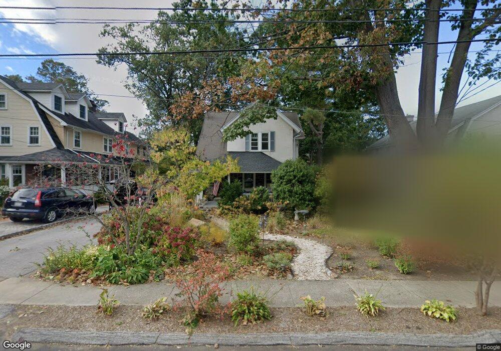
This home is located at 215 Lenoir Ave, Wayne, PA 19087 and is currently estimated at $1,019,223, approximately $360 per square foot. 215 Lenoir Ave is a home located in Delaware County with nearby schools including Wayne Elementary School, Radnor Middle School, and Radnor Senior High School.
Ownership History
Date
Name
Owned For
Owner Type
Purchase Details
Closed on
Nov 14, 2002
Sold by
Samson Peter and Samson Lynne
Bought by
Samson Peter and Samson Lynne
Current Estimated Value
Home Financials for this Owner
Home Financials are based on the most recent Mortgage that was taken out on this home.
Original Mortgage
$130,000
Interest Rate
6.34%
Mortgage Type
Purchase Money Mortgage
Create a Home Valuation Report for This Property
The Home Valuation Report is an in-depth analysis detailing your home's value as well as a comparison with similar homes in the area
Home Values in the Area
Average Home Value in this Area
Purchase History
| Date | Buyer | Sale Price | Title Company |
|---|---|---|---|
| Samson Peter | -- | -- |
Source: Public Records
Mortgage History
| Date | Status | Borrower | Loan Amount |
|---|---|---|---|
| Closed | Samson Peter | $130,000 |
Source: Public Records
Tax History Compared to Growth
Tax History
| Year | Tax Paid | Tax Assessment Tax Assessment Total Assessment is a certain percentage of the fair market value that is determined by local assessors to be the total taxable value of land and additions on the property. | Land | Improvement |
|---|---|---|---|---|
| 2025 | $10,467 | $517,710 | $139,420 | $378,290 |
| 2024 | $10,467 | $517,710 | $139,420 | $378,290 |
| 2023 | $7,000 | $517,710 | $139,420 | $378,290 |
| 2022 | $9,943 | $517,710 | $139,420 | $378,290 |
| 2021 | $15,971 | $517,710 | $139,420 | $378,290 |
| 2020 | $7,302 | $209,910 | $68,480 | $141,430 |
| 2019 | $7,096 | $209,910 | $68,480 | $141,430 |
| 2018 | $6,957 | $209,910 | $0 | $0 |
| 2017 | $6,811 | $209,910 | $0 | $0 |
| 2016 | $1,152 | $209,910 | $0 | $0 |
| 2015 | $1,175 | $209,910 | $0 | $0 |
| 2014 | $1,152 | $209,910 | $0 | $0 |
Source: Public Records
Map
Nearby Homes
- 188 Conestoga Rd
- 5 Greythorne Woods Cir Unit 5
- 232 Conestoga Rd
- 123 Conestoga Rd
- 412 Fairview Dr
- 238 Highland Ave
- 203 Church St
- 207 Willow Ave
- 273 Strafford Ave
- 328 Conestoga Rd
- 205 N Aberdeen Ave
- 50 Fariston Rd
- 256 Willow Ave
- 16 Fariston Rd
- 443 Homestead Rd
- 124 Deepdale Rd
- 305 E Beechtree Ln
- 120 Eaton Dr
- 313 E Beechtree Ln
- 120 S Devon Ave
- 217 Lenoir Ave
- 211 Lenoir Ave
- 219 Lenoir Ave
- 221 Lenoir Ave
- 225 Lenoir Ave
- 302 W Lancaster Ave
- 108 Bloomingdale Ave Unit 5
- 108 Bloomingdale Ave
- 227 Lenoir Ave
- 216 Lenoir Ave
- 210 Lenoir Ave
- 229 Lenoir Ave
- 218 Lenoir Ave
- 114 Bloomingdale Ave Unit 1
- 114 Bloomingdale Ave Unit 4
- 114 Bloomingdale Ave Unit REAR
- 114 Bloomingdale Ave
- 231 Lenoir Ave
- 116 Bloomingdale Ave Unit 3
- 220 Lenoir Ave