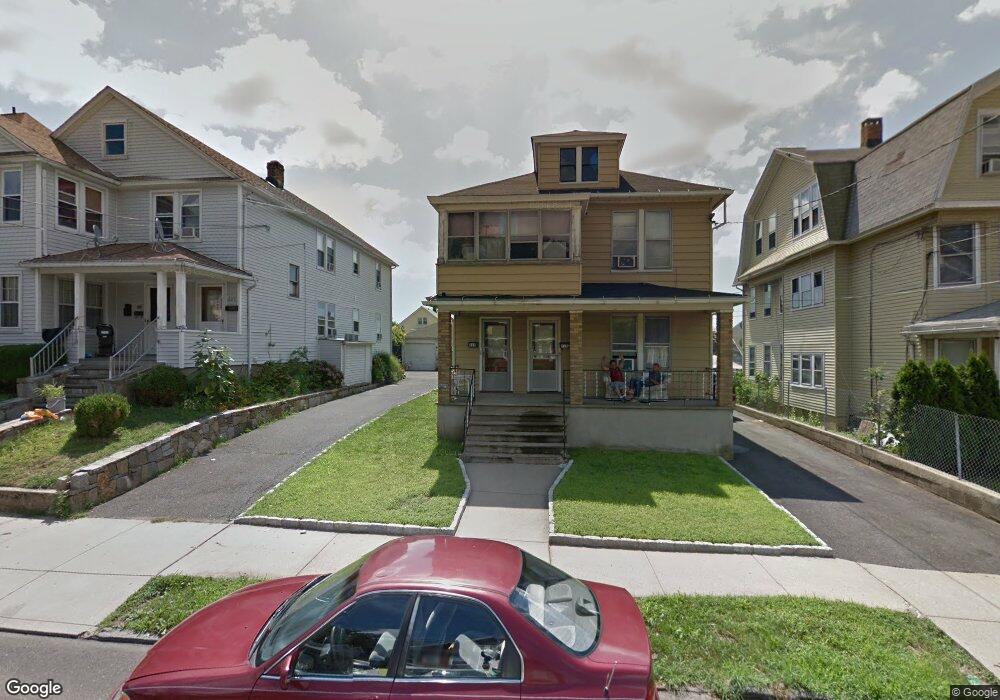
215 Marion St Unit 217 Bridgeport, CT 06606
Brooklawn-Saint Vincent NeighborhoodEstimated Value: $461,000 - $597,000
4
Beds
3
Baths
2,176
Sq Ft
$236/Sq Ft
Est. Value
About This Home
This home is located at 215 Marion St Unit 217, Bridgeport, CT 06606 and is currently estimated at $513,231, approximately $235 per square foot. 215 Marion St Unit 217 is a home located in Fairfield County with nearby schools including Madison School, Central High School, and Catholic Academy of Bridgeport-St. Raphael Academy.
Ownership History
Date
Name
Owned For
Owner Type
Purchase Details
Closed on
May 7, 2004
Sold by
Mastronardi Maria and Santone Anna
Bought by
Campos Rory
Current Estimated Value
Home Financials for this Owner
Home Financials are based on the most recent Mortgage that was taken out on this home.
Original Mortgage
$228,825
Interest Rate
6.8%
Create a Home Valuation Report for This Property
The Home Valuation Report is an in-depth analysis detailing your home's value as well as a comparison with similar homes in the area
Home Values in the Area
Average Home Value in this Area
Purchase History
| Date | Buyer | Sale Price | Title Company |
|---|---|---|---|
| Campos Rory | $254,250 | -- | |
| Campos Rory | $254,250 | -- |
Source: Public Records
Mortgage History
| Date | Status | Borrower | Loan Amount |
|---|---|---|---|
| Open | Campos Rory | $228,000 | |
| Closed | Campos Rory | $228,825 |
Source: Public Records
Tax History Compared to Growth
Tax History
| Year | Tax Paid | Tax Assessment Tax Assessment Total Assessment is a certain percentage of the fair market value that is determined by local assessors to be the total taxable value of land and additions on the property. | Land | Improvement |
|---|---|---|---|---|
| 2025 | $7,944 | $182,820 | $76,130 | $106,690 |
| 2024 | $7,944 | $182,820 | $76,130 | $106,690 |
| 2023 | $7,944 | $182,820 | $76,130 | $106,690 |
| 2022 | $7,944 | $182,820 | $76,130 | $106,690 |
| 2021 | $7,944 | $182,820 | $76,130 | $106,690 |
| 2020 | $7,103 | $131,560 | $42,950 | $88,610 |
| 2019 | $7,103 | $131,560 | $42,950 | $88,610 |
| 2018 | $7,153 | $131,560 | $42,950 | $88,610 |
| 2017 | $7,153 | $131,560 | $42,950 | $88,610 |
| 2016 | $7,153 | $131,560 | $42,950 | $88,610 |
| 2015 | $7,379 | $174,850 | $51,970 | $122,880 |
| 2014 | $7,379 | $174,850 | $51,970 | $122,880 |
Source: Public Records
Map
Nearby Homes
- 508 Hawley Ave
- 119 Madison Terrace
- 25 Manhattan Ave Unit 27
- 724 Capitol Ave Unit 726
- 106 Manhattan Ave Unit 108
- 123 Harlem Ave
- 203 Wayne St
- 390 Charles St Unit 106
- 330 French St
- 252 Harlem Ave Unit B6
- 252 Harlem Ave Unit B5
- 2395 Main St Unit 2397
- 105 Tremont Ave Unit E
- 105 Tremont Ave Unit B
- 241 Sampson St
- 936 Lindley St
- 631 Fairview Ave
- 11 Myron Ave
- 201 High Ridge Dr
- 31 Taft Ave
- 205 Marion St Unit 207
- 193 Marion St Unit 195
- 225 Marion St Unit 229
- 235 Marion St Unit 239
- 210 Marion St Unit 212
- 206 Marion St Unit 208
- 194 Marion St Unit 198
- 185 Marion St Unit 187
- 226 Marion St Unit 228
- 194 Marion St Unit 1FL
- 234 Marion St Unit 238
- 175 Marion St
- 414 Salem St
- 186 Marion St Unit 188
- 424 Salem St
- 176 Marion St Unit 178
- 165 Marion St
- 396 Salem St
- 406 Salem St Unit 408
- 434 Salem St