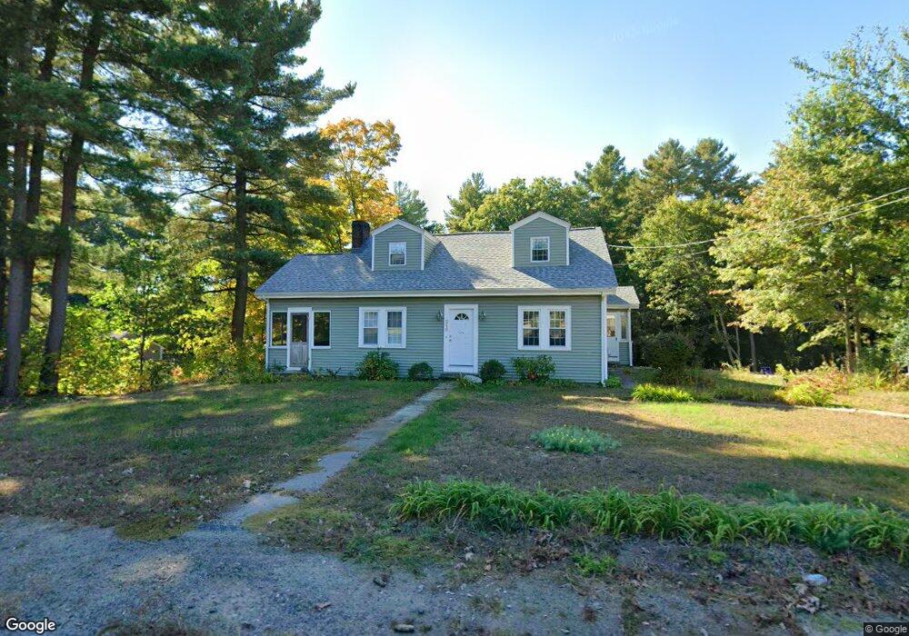
215 Plain St Millis, MA 02054
Estimated Value: $619,269 - $701,000
3
Beds
2
Baths
1,728
Sq Ft
$380/Sq Ft
Est. Value
About This Home
This home is located at 215 Plain St, Millis, MA 02054 and is currently estimated at $657,317, approximately $380 per square foot. 215 Plain St is a home located in Norfolk County with nearby schools including Clyde F Brown, Millis Middle School, and Millis High School.
Ownership History
Date
Name
Owned For
Owner Type
Purchase Details
Closed on
Sep 15, 2008
Sold by
Brousseau Will K and Brousseau Robin A
Bought by
Brousseau Robin A
Current Estimated Value
Home Financials for this Owner
Home Financials are based on the most recent Mortgage that was taken out on this home.
Original Mortgage
$235,000
Outstanding Balance
$156,756
Interest Rate
6.58%
Mortgage Type
Purchase Money Mortgage
Estimated Equity
$500,561
Purchase Details
Closed on
Feb 6, 2008
Sold by
Brousseau Robin A and Brousseau Will K
Bought by
Brousseau Robin A
Purchase Details
Closed on
Jun 25, 2002
Sold by
Michel Steven L and Michel Janice A
Bought by
Brousseau Will K and Brousseau Robin A
Home Financials for this Owner
Home Financials are based on the most recent Mortgage that was taken out on this home.
Original Mortgage
$257,400
Interest Rate
6.81%
Mortgage Type
Purchase Money Mortgage
Create a Home Valuation Report for This Property
The Home Valuation Report is an in-depth analysis detailing your home's value as well as a comparison with similar homes in the area
Home Values in the Area
Average Home Value in this Area
Purchase History
| Date | Buyer | Sale Price | Title Company |
|---|---|---|---|
| Brousseau Robin A | -- | -- | |
| Brousseau Robin A | -- | -- | |
| Brousseau Will K | $286,000 | -- |
Source: Public Records
Mortgage History
| Date | Status | Borrower | Loan Amount |
|---|---|---|---|
| Open | Brousseau Robin A | $235,000 | |
| Previous Owner | Brousseau Will K | $257,400 |
Source: Public Records
Tax History
| Year | Tax Paid | Tax Assessment Tax Assessment Total Assessment is a certain percentage of the fair market value that is determined by local assessors to be the total taxable value of land and additions on the property. | Land | Improvement |
|---|---|---|---|---|
| 2025 | $9,346 | $569,900 | $241,900 | $328,000 |
| 2024 | $8,609 | $524,300 | $223,300 | $301,000 |
| 2023 | $7,940 | $454,000 | $178,000 | $276,000 |
| 2022 | $8,101 | $429,100 | $191,000 | $238,100 |
| 2021 | $7,442 | $379,300 | $165,100 | $214,200 |
| 2020 | $7,647 | $379,700 | $154,300 | $225,400 |
| 2019 | $6,695 | $358,000 | $142,200 | $215,800 |
| 2018 | $6,451 | $358,000 | $142,200 | $215,800 |
| 2017 | $6,154 | $334,100 | $124,300 | $209,800 |
| 2016 | $5,827 | $334,100 | $124,300 | $209,800 |
| 2015 | $5,680 | $334,100 | $124,300 | $209,800 |
Source: Public Records
Map
Nearby Homes
- 25 Bayberry Cir Unit 25
- 20 Hemlock Cir
- 11 Parnell St
- 64 Village St
- 33 Spencer St
- 227 Village St
- 324 Union St Unit 1
- 5 Apple Rock Rd
- 6 April Way
- 22 May Rd
- 10 April Way
- 6 Rosenfeld Rd
- 14 Teresa Dr
- 13 Teresa Dr
- 28 Key St Unit 28
- 188 Pleasant St
- 200 Pleasant St
- 43 Whichita Rd
- 18 Shawnee Rd
- 33 Whichita Rd
- 207 Plain St
- 233 Plain St
- 216 Plain St
- 199 Plain St
- 235 Plain St
- 5 Monroe St
- 224 Plain St
- 7 Forest Rd
- 5 Forest Rd
- 3 Forest Rd
- 3 Forest Rd Unit 3
- 5 Forest Rd Unit 5,1
- 195 Plain St
- 240 Plain St
- 243 Plain St
- 87 Monroe St Unit 18
- 85 Monroe St Unit 17
- 79 Monroe St Unit 15
- 81 Monroe St Unit 16
- 59 Monroe St Unit 6
Your Personal Tour Guide
Ask me questions while you tour the home.