215 Rosies Ln Lewistown, MT 59457
Estimated Value: $814,789 - $1,051,000
3
Beds
3
Baths
2,035
Sq Ft
$458/Sq Ft
Est. Value
About This Home
This home is located at 215 Rosies Ln, Lewistown, MT 59457 and is currently estimated at $932,895, approximately $458 per square foot. 215 Rosies Ln is a home located in Fergus County with nearby schools including Fergus High School.
Ownership History
Date
Name
Owned For
Owner Type
Purchase Details
Closed on
Nov 28, 2023
Sold by
Kamp Derree and Kamp Greg
Bought by
Sura Travis E
Current Estimated Value
Home Financials for this Owner
Home Financials are based on the most recent Mortgage that was taken out on this home.
Original Mortgage
$255,290
Outstanding Balance
$250,734
Interest Rate
7.63%
Mortgage Type
FHA
Estimated Equity
$682,161
Purchase Details
Closed on
Oct 26, 2020
Sold by
Tfes 893 Llc
Bought by
Kamp Derree A and Kamp Gregory L
Purchase Details
Closed on
May 2, 1995
Bought by
Kamp Derree A and Kamp Gregory L
Home Financials for this Owner
Home Financials are based on the most recent Mortgage that was taken out on this home.
Original Mortgage
$233,500
Interest Rate
8.44%
Mortgage Type
New Conventional
Create a Home Valuation Report for This Property
The Home Valuation Report is an in-depth analysis detailing your home's value as well as a comparison with similar homes in the area
Home Values in the Area
Average Home Value in this Area
Purchase History
| Date | Buyer | Sale Price | Title Company |
|---|---|---|---|
| Sura Travis E | -- | None Listed On Document | |
| Kamp Derree A | -- | Title Fin L Specialty Svc | |
| Kamp Derree A | -- | -- |
Source: Public Records
Mortgage History
| Date | Status | Borrower | Loan Amount |
|---|---|---|---|
| Open | Sura Travis E | $255,290 | |
| Previous Owner | Kamp Derree A | $233,500 |
Source: Public Records
Tax History Compared to Growth
Tax History
| Year | Tax Paid | Tax Assessment Tax Assessment Total Assessment is a certain percentage of the fair market value that is determined by local assessors to be the total taxable value of land and additions on the property. | Land | Improvement |
|---|---|---|---|---|
| 2025 | $5,092 | $816,100 | $0 | $0 |
| 2024 | $3,770 | $442,800 | $0 | $0 |
| 2023 | $3,805 | $442,800 | $0 | $0 |
| 2022 | $3,979 | $382,149 | $0 | $0 |
| 2021 | $3,476 | $382,149 | $0 | $0 |
| 2020 | $3,325 | $361,100 | $0 | $0 |
| 2019 | $3,305 | $361,100 | $0 | $0 |
| 2018 | $2,988 | $320,850 | $0 | $0 |
| 2017 | $2,865 | $320,850 | $0 | $0 |
| 2016 | $2,814 | $314,100 | $0 | $0 |
| 2015 | $2,691 | $314,100 | $0 | $0 |
| 2014 | $2,423 | $158,417 | $0 | $0 |
Source: Public Records
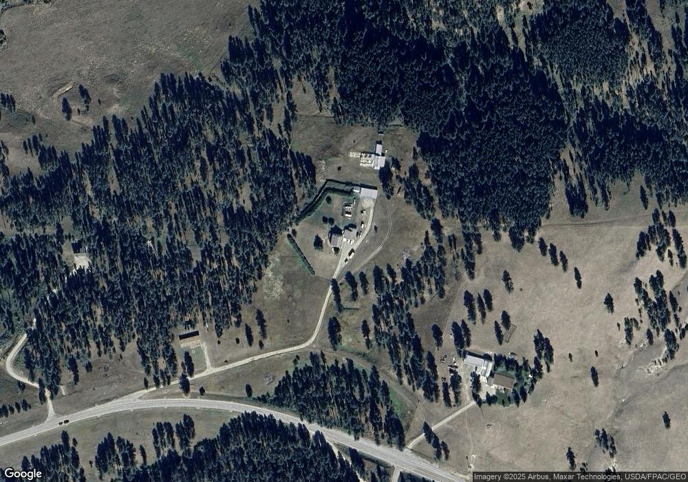
Map
Nearby Homes
- 91026 U S 87
- 812 Railroad Ln
- 1094 Lime Kiln Rd E
- 1094 Lime Kiln Rd
- 168 Northern Shadows Dr
- 170 Burly Beach Rd
- 0 Northern Shadows Dr
- NHN Judith Foothills Dr 15a
- 6502 Quarter Horse Ln
- TRACT 1 Rifle Range Rd
- Lot 4 White Tail Dr
- Lot 2 White Tail Dr
- Lot 1 White Tail Dr
- Lot 3 White Tail Dr
- LOT 10B Southern Shadows Dr
- LOT 09B Southern Shadows Dr
- LOT 014B Shadows Loop
- LOT 05B Southern Shadows Dr
- LOT 12B Shadows Loop Rd
- LOT 08B Southern Shadows Dr