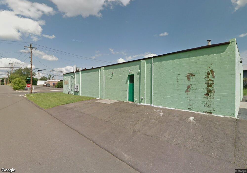
215 Tuthill St West Haven, CT 06516
Allingtown NeighborhoodEstimated Value: $1,363,416
4
Beds
4
Baths
5,000
Sq Ft
$273/Sq Ft
Est. Value
About This Home
This home is located at 215 Tuthill St, West Haven, CT 06516 and is currently estimated at $1,363,416, approximately $272 per square foot. 215 Tuthill St is a home located in New Haven County with nearby schools including Carrigan 5/6 Intermediate School, Harry M. Bailey Middle School, and West Haven High School.
Ownership History
Date
Name
Owned For
Owner Type
Purchase Details
Closed on
Dec 16, 2021
Sold by
My Bazaar Llc
Bought by
215 Tuthill Llc
Current Estimated Value
Home Financials for this Owner
Home Financials are based on the most recent Mortgage that was taken out on this home.
Original Mortgage
$300,000
Outstanding Balance
$231,967
Interest Rate
3.11%
Mortgage Type
Stand Alone Refi Refinance Of Original Loan
Estimated Equity
$1,131,449
Purchase Details
Closed on
Sep 16, 1988
Sold by
Brooks B V
Bought by
Roth Michael
Create a Home Valuation Report for This Property
The Home Valuation Report is an in-depth analysis detailing your home's value as well as a comparison with similar homes in the area
Home Values in the Area
Average Home Value in this Area
Purchase History
| Date | Buyer | Sale Price | Title Company |
|---|---|---|---|
| 215 Tuthill Llc | -- | None Available | |
| 215 Tuthill Llc | -- | None Available | |
| Roth Michael | $302,500 | -- |
Source: Public Records
Mortgage History
| Date | Status | Borrower | Loan Amount |
|---|---|---|---|
| Open | 215 Tuthill Llc | $300,000 | |
| Closed | 215 Tuthill Llc | $300,000 | |
| Previous Owner | Roth Michael | $94,064 |
Source: Public Records
Tax History Compared to Growth
Tax History
| Year | Tax Paid | Tax Assessment Tax Assessment Total Assessment is a certain percentage of the fair market value that is determined by local assessors to be the total taxable value of land and additions on the property. | Land | Improvement |
|---|---|---|---|---|
| 2025 | $9,420 | $276,990 | $72,170 | $204,820 |
| 2024 | $9,289 | $193,970 | $68,740 | $125,230 |
| 2023 | $9,004 | $193,970 | $68,740 | $125,230 |
| 2022 | $8,847 | $193,970 | $68,740 | $125,230 |
| 2021 | $8,849 | $193,970 | $68,740 | $125,230 |
| 2020 | $10,656 | $206,920 | $68,740 | $138,180 |
| 2019 | $10,491 | $206,920 | $68,740 | $138,180 |
| 2018 | $10,205 | $206,920 | $68,740 | $138,180 |
| 2017 | $9,887 | $206,920 | $68,740 | $138,180 |
| 2016 | $9,587 | $206,920 | $68,740 | $138,180 |
| 2015 | $9,294 | $228,410 | $76,370 | $152,040 |
| 2014 | $9,109 | $228,410 | $76,370 | $152,040 |
Source: Public Records
Map
Nearby Homes
- 57 Dalton St
- 265 Tuthill St
- 39 Medford St
- 107 Tuthill St
- 62 Tuthill St
- 78 Nonquit St
- 182 Meloy Rd
- 194 Homeside Ave
- 89 Coleman St Unit 213
- 67 Putney Dr
- 387 W Spring St
- 63 Glade St Unit C1
- 588 Summit Dr
- 81 Homeside Ave
- 84 Eileen Rd
- 227 W Spring St
- 35 Terrace Ave
- 12 Linda St
- 157 Bull Hill Ln Unit 207
- 105 Pheasant Rd
- 215 Tuthill St Unit C
- 69 Dalton St
- 227 Tuthill St
- 79 Dalton St
- 1003 Boston Post Rd
- 81 Dalton St
- 1055 Orange Ave
- 88 Canton St
- 92 Canton St
- 55 Dalton St
- 96 Canton St
- 87 Dalton St
- 252 Tuthill St
- 53 Dalton St
- 1055 Boston Post Rd Unit STE A
- 1055 Boston Post Rd Unit A3
- 1055 Boston Post Rd Unit F3
- 1055 Boston Post Rd
- 1055 Boston Post Rd Unit 23
- 1055 Boston Post Rd Unit 3