Estimated Value: $202,000 - $231,000
2
Beds
1
Bath
840
Sq Ft
$264/Sq Ft
Est. Value
About This Home
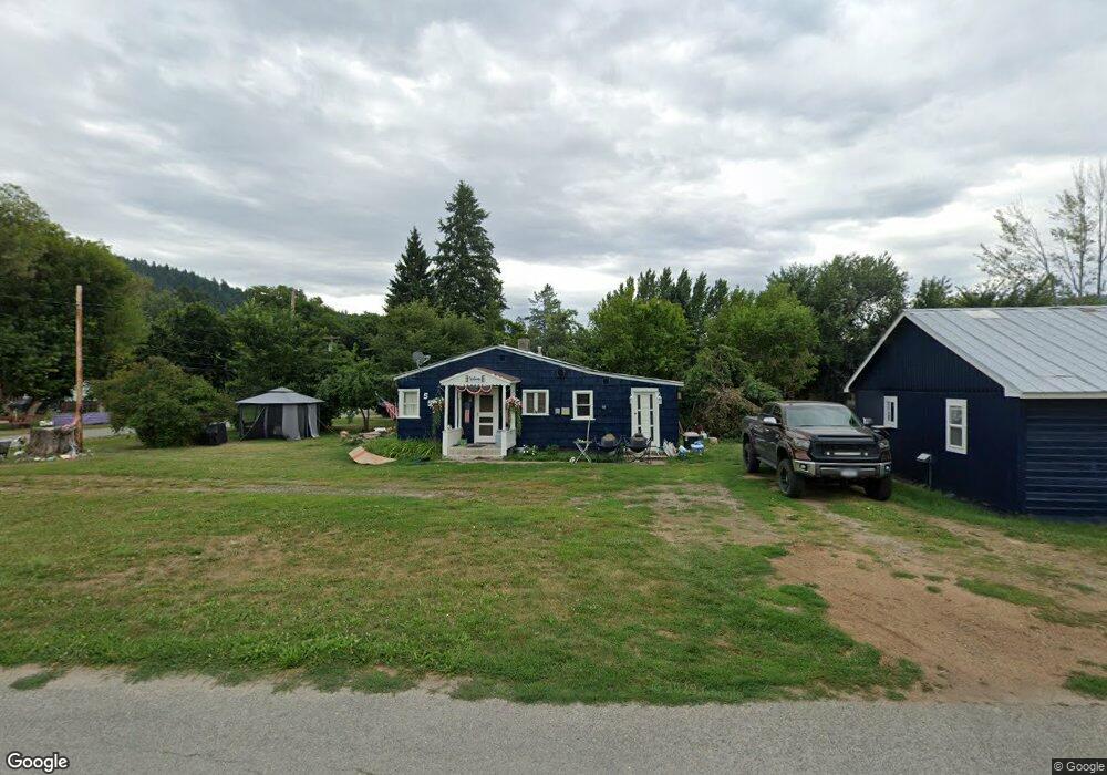
This home is located at 215 W Riverside Ave, Troy, MT 59935 and is currently estimated at $221,589, approximately $263 per square foot. 215 W Riverside Ave is a home located in Lincoln County with nearby schools including W.F. Morrison School, Troy Junior High School, and Troy High School.
Ownership History
Date
Name
Owned For
Owner Type
Purchase Details
Closed on
May 13, 2025
Sold by
Garcia Sherrie
Bought by
Laughlin Jason and Beer Rick
Current Estimated Value
Home Financials for this Owner
Home Financials are based on the most recent Mortgage that was taken out on this home.
Original Mortgage
$234,868
Outstanding Balance
$234,035
Interest Rate
6.64%
Mortgage Type
New Conventional
Estimated Equity
-$12,446
Create a Home Valuation Report for This Property
The Home Valuation Report is an in-depth analysis detailing your home's value as well as a comparison with similar homes in the area
Home Values in the Area
Average Home Value in this Area
Purchase History
| Date | Buyer | Sale Price | Title Company |
|---|---|---|---|
| Laughlin Jason | -- | Flying S Title & Escrow | |
| Laughlin Jason | -- | Flying S Title & Escrow |
Source: Public Records
Mortgage History
| Date | Status | Borrower | Loan Amount |
|---|---|---|---|
| Open | Laughlin Jason | $234,868 | |
| Closed | Laughlin Jason | $234,868 |
Source: Public Records
Tax History Compared to Growth
Tax History
| Year | Tax Paid | Tax Assessment Tax Assessment Total Assessment is a certain percentage of the fair market value that is determined by local assessors to be the total taxable value of land and additions on the property. | Land | Improvement |
|---|---|---|---|---|
| 2025 | $1,015 | $218,547 | $0 | $0 |
| 2024 | $1,200 | $146,596 | $0 | $0 |
| 2023 | $1,583 | $146,596 | $0 | $0 |
| 2022 | $1,120 | $111,786 | $0 | $0 |
| 2021 | $1,259 | $111,786 | $0 | $0 |
| 2020 | $1,547 | $102,551 | $0 | $0 |
| 2019 | $1,394 | $102,551 | $0 | $0 |
| 2018 | $1,355 | $95,861 | $0 | $0 |
| 2017 | $1,035 | $95,861 | $0 | $0 |
| 2016 | $1,187 | $86,150 | $0 | $0 |
| 2015 | $808 | $85,900 | $0 | $0 |
| 2014 | $464 | $26,288 | $0 | $0 |
Source: Public Records
Map
Nearby Homes
- 296 Riverside Ave
- 708 N 3rd St
- 318 E Kootenai Ave
- 205 E Spokane Ave
- 209 Mineral Ave
- 206 Mineral Ave
- 0000 Obrien Creek Rd
- 106 N 6th St
- 514 Mineral Ave
- 707 E Grant Ave
- TBD Dent Ave
- Parcel A N Kootenai Dr
- Parcel B N Kootenai Dr
- 1278 Hunts Mill Rd
- 158 Twisted Branch Ln
- 12437 Us Highway 2
- 687 Iron Creek Rd
- NHN Little Bear Loop
- Lot 1 River Rd
- 1268 Hunts Mill Rd
- 207 W Riverside Ave
- 203 W Riverside Ave
- 306 E Riverside Ave
- 205 Riverside Ave
- 281 Riverside Ave
- 208 E Riverside Ave
- 105 W Riverside Ave
- 267 Riverside Ave
- 275 Riverside Ave
- 275 Riverside Ave
- 362 Riverside Ave
- 276 Riverside Ave
- 210 Mill Rd Troy
- 176 Mill Rd
- 101 W Riverside Ave
- 355 Riverside Ave
- 707 N 3rd St
- 210 Mill Rd
- 703 N 3rd St
- 232 E Mill Rd