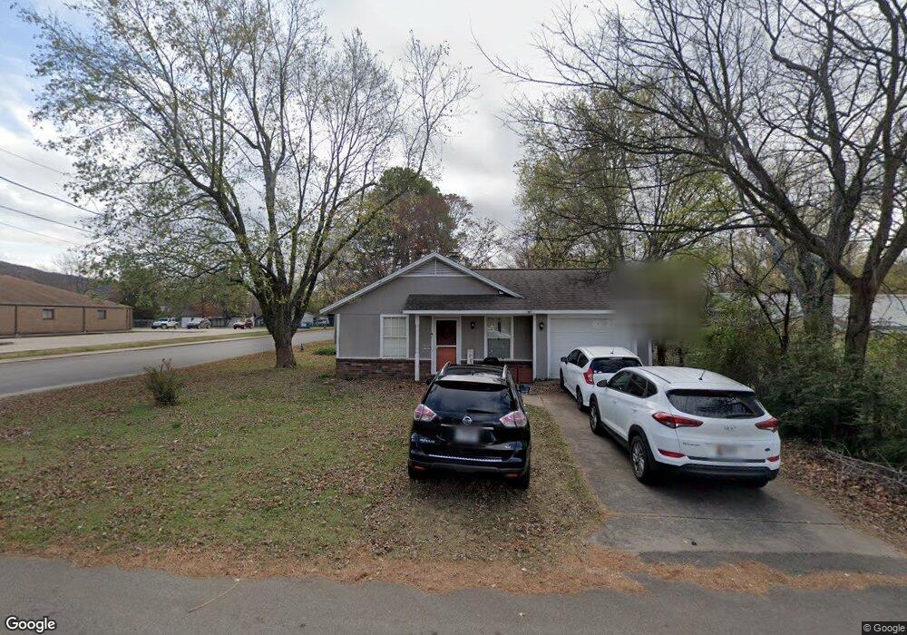
215 Webber St West Fork, AR 72774
Estimated Value: $176,459 - $211,000
Studio
2
Baths
1,008
Sq Ft
$189/Sq Ft
Est. Value
About This Home
This home is located at 215 Webber St, West Fork, AR 72774 and is currently estimated at $190,365, approximately $188 per square foot. 215 Webber St is a home located in Washington County with nearby schools including West Fork Elementary School, West Fork Middle School, and West Fork High School.
Ownership History
Date
Name
Owned For
Owner Type
Purchase Details
Closed on
Sep 19, 2024
Sold by
Rossetti Charles David and Rossetti Kay M
Bought by
Rossetti James M and Rossetti Kayla Nunez
Current Estimated Value
Home Financials for this Owner
Home Financials are based on the most recent Mortgage that was taken out on this home.
Original Mortgage
$150,000
Outstanding Balance
$142,883
Interest Rate
5.63%
Mortgage Type
Seller Take Back
Estimated Equity
$47,482
Purchase Details
Closed on
May 19, 1994
Bought by
Rossetti Charles D
Purchase Details
Closed on
Dec 28, 1990
Bought by
Peterson Kevin Lavern and Peterson Melissa
Purchase Details
Closed on
Nov 21, 1989
Bought by
Lazenby William A
Purchase Details
Closed on
Jan 1, 1985
Bought by
Carter William E and Carter Elizabeth E
Create a Home Valuation Report for This Property
The Home Valuation Report is an in-depth analysis detailing your home's value as well as a comparison with similar homes in the area
Home Values in the Area
Average Home Value in this Area
Purchase History
| Date | Buyer | Sale Price | Title Company |
|---|---|---|---|
| Rossetti James M | $150,000 | Allegiance Title | |
| Rossetti Charles D | $46,000 | -- | |
| Peterson Kevin Lavern | $42,000 | -- | |
| Lazenby William A | $5,000 | -- | |
| Carter William E | -- | -- |
Source: Public Records
Mortgage History
| Date | Status | Borrower | Loan Amount |
|---|---|---|---|
| Open | Rossetti James M | $150,000 |
Source: Public Records
Tax History
| Year | Tax Paid | Tax Assessment Tax Assessment Total Assessment is a certain percentage of the fair market value that is determined by local assessors to be the total taxable value of land and additions on the property. | Land | Improvement |
|---|---|---|---|---|
| 2025 | $1,312 | $24,800 | $5,000 | $19,800 |
| 2024 | $1,026 | $24,800 | $5,000 | $19,800 |
| 2023 | $946 | $24,800 | $5,000 | $19,800 |
| 2022 | $860 | $17,420 | $2,500 | $14,920 |
| 2021 | $794 | $17,420 | $2,500 | $14,920 |
| 2020 | $728 | $17,420 | $2,500 | $14,920 |
| 2019 | $662 | $12,460 | $2,600 | $9,860 |
| 2018 | $662 | $12,460 | $2,600 | $9,860 |
| 2017 | $643 | $12,460 | $2,600 | $9,860 |
| 2016 | $643 | $12,460 | $2,600 | $9,860 |
| 2015 | $638 | $12,460 | $2,600 | $9,860 |
| 2014 | $580 | $11,240 | $2,000 | $9,240 |
Source: Public Records
Map
Nearby Homes
- 224 Maple Ave
- 0000 Highway 170
- 185 Wheeler St
- 106 Pleasant St
- 222 Rivendale Dr
- 0 W Smith St Unit 1334508
- Springs 1445 Plan at Rolling Plains
- Eureka 1536 Plan at Rolling Plains
- Oak 1463 Plan at Rolling Plains
- Magnolia 1556 Plan at Rolling Plains
- Ashton 1496 Plan at Rolling Plains
- Ouachita 1669 Plan at Rolling Plains
- Osage 1567 Plan at Rolling Plains
- Maple 1659 Plan at Rolling Plains
- 327 W Smith St
- 385 W Smith St
- 365 W Smith St
- 353 W Smith St
- 67 S Red Oak Ave
- 503 Clark Ave
Your Personal Tour Guide
Ask me questions while you tour the home.