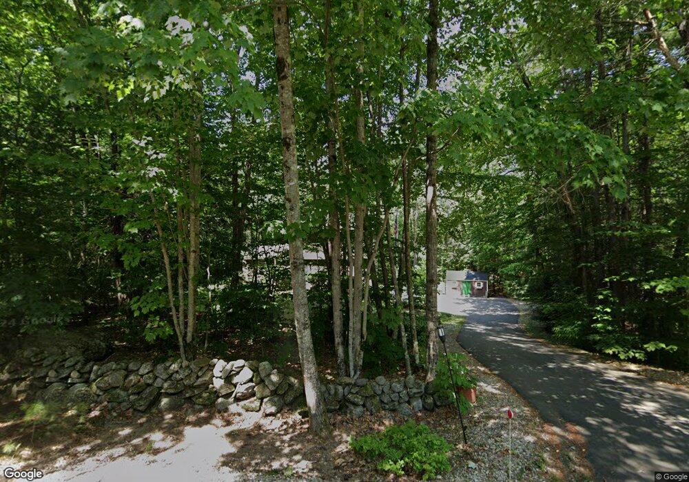
215 Whig Hill Rd Strafford, NH 03884
Estimated Value: $540,894 - $607,000
4
Beds
2
Baths
2,048
Sq Ft
$282/Sq Ft
Est. Value
About This Home
This home is located at 215 Whig Hill Rd, Strafford, NH 03884 and is currently estimated at $577,474, approximately $281 per square foot. 215 Whig Hill Rd is a home located in Strafford County with nearby schools including Strafford School and Coe-Brown Northwood Academy.
Ownership History
Date
Name
Owned For
Owner Type
Purchase Details
Closed on
May 3, 2005
Sold by
Penrod Rory B
Bought by
Dagenais David A and Dagenais Lisa K
Current Estimated Value
Home Financials for this Owner
Home Financials are based on the most recent Mortgage that was taken out on this home.
Original Mortgage
$187,200
Outstanding Balance
$97,035
Interest Rate
5.95%
Estimated Equity
$480,439
Create a Home Valuation Report for This Property
The Home Valuation Report is an in-depth analysis detailing your home's value as well as a comparison with similar homes in the area
Home Values in the Area
Average Home Value in this Area
Purchase History
| Date | Buyer | Sale Price | Title Company |
|---|---|---|---|
| Dagenais David A | $234,000 | -- |
Source: Public Records
Mortgage History
| Date | Status | Borrower | Loan Amount |
|---|---|---|---|
| Open | Dagenais David A | $187,200 |
Source: Public Records
Tax History Compared to Growth
Tax History
| Year | Tax Paid | Tax Assessment Tax Assessment Total Assessment is a certain percentage of the fair market value that is determined by local assessors to be the total taxable value of land and additions on the property. | Land | Improvement |
|---|---|---|---|---|
| 2024 | $6,546 | $331,300 | $79,000 | $252,300 |
| 2023 | $6,175 | $331,300 | $79,000 | $252,300 |
| 2022 | $5,675 | $331,300 | $79,000 | $252,300 |
| 2021 | $5,916 | $331,300 | $79,000 | $252,300 |
| 2020 | $6,387 | $249,000 | $81,600 | $167,400 |
| 2019 | $5,844 | $249,000 | $81,600 | $167,400 |
| 2018 | $5,561 | $249,000 | $81,600 | $167,400 |
| 2016 | $5,291 | $249,000 | $81,600 | $167,400 |
| 2015 | $4,611 | $211,400 | $78,300 | $133,100 |
| 2014 | $4,896 | $211,400 | $78,300 | $133,100 |
| 2013 | $4,795 | $211,400 | $78,300 | $133,100 |
| 2012 | $4,731 | $211,400 | $78,300 | $133,100 |
Source: Public Records
Map
Nearby Homes
- Map 3 Lot 18-2b and 18-2c Water St
- 11 Drake Hill Rd
- 133 & 137 Browns Pasture Rd
- 268 Province Rd
- M37 L40 Beaver Rd
- 295 1st New Hampshire Turnpike
- 31 Green St
- 28-1 Range Rd
- 150A 1st New Hampshire Turnpike
- 0 1st New Hampshire Turnpike Unit 5026030
- 0 1st New Hampshire Turnpike Unit 5013320
- Map 219 Lot 6-8 Ridge Rd
- 2184 Franklin Pierce Hwy
- 142 Mountain Ave
- 249 Cooper Hill Rd
- 108 Lucas Pond Rd
- 5 Liberty Ln
- 83 Sloper Rd
- 0 Sloper Rd Unit 6
- 64 Kelsey Mill Rd
- 207 Whig Hill Rd
- 218 Whig Hill Rd
- 42 Beaver Brook Dr
- 225 Whig Hill Rd
- 8 Beechwood Dr
- 202 Whig Hill Rd
- 13 Beaver Brook Dr
- 21 Barberry Ln
- 40 Beaver Brook Dr
- 14 Beaver Brook Dr
- 193 Whig Hill Rd
- 9 Beechwood Dr
- 10 Beechwood Dr
- 241 Whig Hill Rd
- 170 Whig Hill Rd
- 30 Beaver Brook Dr
- 26 Beaver Brook Dr
- 27 Juniper Trail Way
- 30 Beechwood Dr
- 10 Barberry Ln