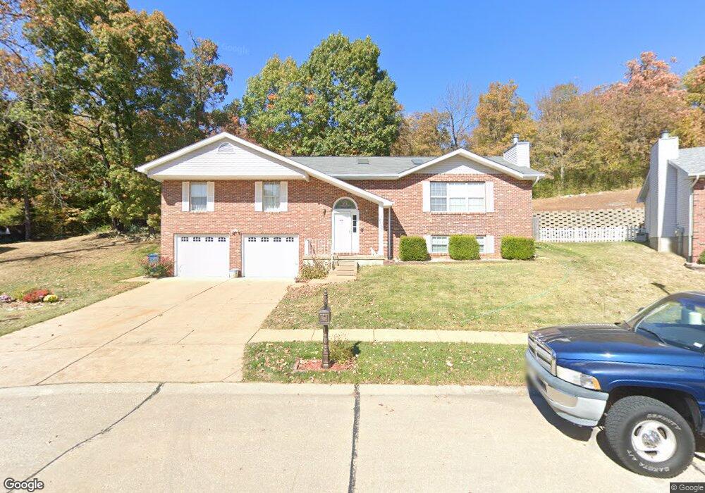
2151 Doe Run Dr Arnold, MO 63010
Estimated Value: $352,000 - $397,000
About This Home
This home is located at 2151 Doe Run Dr, Arnold, MO 63010 and is currently estimated at $372,707, approximately $200 per square foot. 2151 Doe Run Dr is a home located in Jefferson County with nearby schools including Clyde Hamrick Elementary School, Ridgewood Middle School, and Fox Senior High School.
Ownership History
We collect this data history from publicly available records. To have your information removed, we recommend requesting removal directly through your county’s website.
Purchase Details
Purchase Details
Home Financials for this Owner
Home Financials are based on the most recent Mortgage that was taken out on this home.Purchase Details
Home Financials for this Owner
Home Financials are based on the most recent Mortgage that was taken out on this home.Home Values in the Area
Average Home Value in this Area
Purchase History
We collect this data history from publicly available records. To have your information removed, we recommend requesting removal directly through your county’s website.
| Date | Buyer | Sale Price | Title Company |
|---|---|---|---|
| -- | None Available | ||
| -- | None Available | ||
| -- | -- | ||
| -- | None Available |
Mortgage History
We collect this data history from publicly available records. To have your information removed, we recommend requesting removal directly through your county’s website.
| Date | Status | Borrower | Loan Amount |
|---|---|---|---|
| Previous Owner | $67,000 | ||
| Previous Owner | $118,900 |
Tax History
We collect this data history from publicly available records. To have your information removed, we recommend requesting removal directly through your county’s website.
| Year | Tax Paid | Tax Assessment Tax Assessment Total Assessment is a certain percentage of the fair market value that is determined by local assessors to be the total taxable value of land and additions on the property. | Land | Improvement |
|---|---|---|---|---|
| 2025 | $2,784 | $43,400 | $2,900 | $40,500 |
| 2024 | $2,784 | $39,800 | $2,900 | $36,900 |
| 2023 | $2,784 | $39,800 | $2,900 | $36,900 |
| 2022 | $2,837 | $39,800 | $2,900 | $36,900 |
| 2021 | $2,839 | $39,800 | $2,900 | $36,900 |
| 2020 | $2,661 | $35,400 | $2,500 | $32,900 |
| 2019 | $2,669 | $35,400 | $2,500 | $32,900 |
| 2018 | $2,653 | $35,400 | $2,500 | $32,900 |
| 2017 | $2,692 | $35,400 | $2,500 | $32,900 |
| 2016 | $2,299 | $32,400 | $2,500 | $29,900 |
| 2015 | $2,304 | $32,400 | $2,500 | $29,900 |
| 2013 | -- | $32,500 | $2,500 | $30,000 |
Map
- 1924 Jennifer Lynn Ln
- 2022 Agape St
- 2215 Maxville Ln
- 2275 Grant Dr
- 1813 Don Ron Dr
- 1859 Engle Dr
- 2061 Ridgeway Dr
- 1035 Sable Ln
- 1040 Sable Ln
- 22 Anthony Ct
- 25 Anthony Ct
- 0000 Botanical Dr
- 2558 Frederitzi Ln
- 1676 W Highview Dr
- 2766 Harmony Hills Dr
- 1965 Lonedell Rd
- 1521 Big Bill Rd
- 3 Petersburg Ct
- 1713 Rhythm Ln
- 3128 Pinebrook Dr
- 2151 Doe Run Dr
- 2155 Doe Run Dr
- 2143 Doe Run Dr
- 2150 Doe Run Dr
- 2159 Doe Run Dr
- 2142 Doe Run Dr
- 2139 Doe Run Dr
- 2162 Doe Run Dr
- 2163 Doe Run Dr
- 2167 Doe Run Dr
- 2166 Doe Run Dr
- 2120 Doe Run Dr
- 2120 Doe Run
- 2135 Doe Run Dr
- 2071 Pearl Dr
- 2170 Doe Run Dr
- 2063 Pearl Dr
- 2171 Doe Run Dr
- 2116 Doe Run Dr
- 2103 Pearl Dr
Ask me questions while you tour the home.