2151 Lone Wolf Ln Unit 118 Canton, MI 48188
Estimated Value: $288,739 - $325,000
Studio
3
Baths
1,387
Sq Ft
$219/Sq Ft
Est. Value
About This Home
This home is located at 2151 Lone Wolf Ln Unit 118, Canton, MI 48188 and is currently estimated at $303,935, approximately $219 per square foot. 2151 Lone Wolf Ln Unit 118 is a home located in Wayne County with nearby schools including Canton High School, Salem High School, and Plymouth High School.
Ownership History
Date
Name
Owned For
Owner Type
Purchase Details
Closed on
Mar 1, 2004
Sold by
Umlauf Marshall B and Umlauf Carol R
Bought by
Lencioni Paul J
Current Estimated Value
Home Financials for this Owner
Home Financials are based on the most recent Mortgage that was taken out on this home.
Original Mortgage
$143,000
Outstanding Balance
$67,346
Interest Rate
5.78%
Mortgage Type
Purchase Money Mortgage
Estimated Equity
$236,589
Create a Home Valuation Report for This Property
The Home Valuation Report is an in-depth analysis detailing your home's value as well as a comparison with similar homes in the area
Home Values in the Area
Average Home Value in this Area
Purchase History
| Date | Buyer | Sale Price | Title Company |
|---|---|---|---|
| Lencioni Paul J | $193,000 | Titleamerica |
Source: Public Records
Mortgage History
| Date | Status | Borrower | Loan Amount |
|---|---|---|---|
| Open | Lencioni Paul J | $143,000 | |
| Closed | Lencioni Paul J | $30,700 |
Source: Public Records
Tax History
| Year | Tax Paid | Tax Assessment Tax Assessment Total Assessment is a certain percentage of the fair market value that is determined by local assessors to be the total taxable value of land and additions on the property. | Land | Improvement |
|---|---|---|---|---|
| 2025 | $1,355 | $134,800 | $0 | $0 |
| 2024 | $1,317 | $113,800 | $0 | $0 |
| 2023 | $1,255 | $108,500 | $0 | $0 |
| 2022 | $2,817 | $100,100 | $0 | $0 |
| 2021 | $3,328 | $97,600 | $0 | $0 |
| 2020 | $3,315 | $95,700 | $0 | $0 |
| 2019 | $3,290 | $90,950 | $0 | $0 |
| 2018 | $1,067 | $88,320 | $0 | $0 |
| 2017 | $4,139 | $84,600 | $0 | $0 |
| 2016 | $3,133 | $85,500 | $0 | $0 |
| 2015 | $5,862 | $75,410 | $0 | $0 |
| 2013 | $5,679 | $60,750 | $0 | $0 |
| 2010 | -- | $62,060 | $31,000 | $31,060 |
Source: Public Records
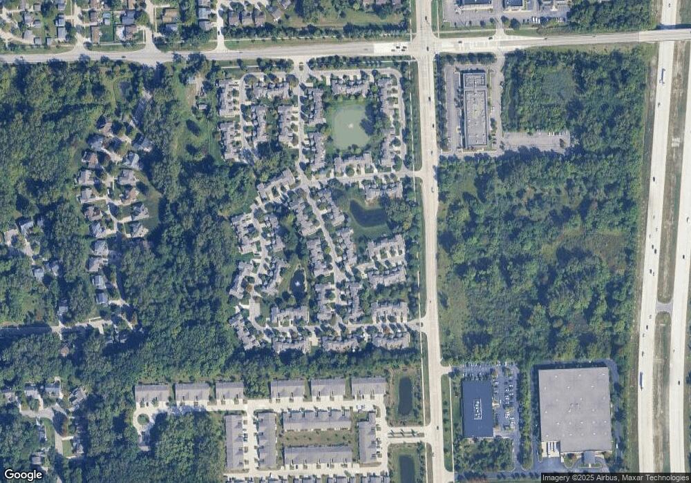
Map
Nearby Homes
- 1878 Otter Pond Ln
- 1402 Heritage Dr
- 2087 Arcadia Dr Unit 65
- 2393 Arcadia Dr
- 2463 Arcadia Dr
- 000 S Lotz Rd
- 41925 South Dr
- 41878 Woodbrook Dr
- 42859 Palmer Rd
- 40049 Rolling Green Ct
- 3761 Park Creek Ln
- 41777 Princess Dr
- 41275 Old Michigan Ave
- 41226 Southwind Dr Unit 138
- 41128 Northwind Dr Unit 28
- 41060 Northwind Dr
- 43486 Fredericksburg St
- 1861 N Arbor Way Dr Unit 26
- 1632 Bennington Ct Unit 1632
- 2131 Vine Way Dr Unit 97
- 2107 Lone Wolf Ln Unit 116
- 2107 Lone Wolf Ln Unit 24, 116
- 2129 Lone Wolf Ln Unit 117
- 41490 Bobcat Ct
- 41470 Bobcat Ct
- 2150 Lone Wolf Ln
- 2085 Lone Wolf Ln
- 2128 Lone Wolf Ln
- 2173 Lone Wolf Ln Unit 119
- 41452 Bobcat Ct
- 2106 Lone Wolf Ln Unit 135
- 2063 Lone Wolf Ln Unit Bldg-Unit
- 2063 Lone Wolf Ln
- 2063 Lone Wolf Ln Unit 124
- 2084 Lone Wolf Ln
- 2172 Lone Wolf Ln Unit 132
- 2174 Lone Wolf Ln
- 2019 Lone Wolf Ln
- 2019 Lone Wolf Ln Unit 122
- 2062 Lone Wolf Ln Unit 127
Your Personal Tour Guide
Ask me questions while you tour the home.