2151 Mill Rd Greenleaf, WI 54126
Estimated Value: $625,000 - $817,907
Studio
--
Bath
--
Sq Ft
972,085
Sq Ft
About This Home
This home is located at 2151 Mill Rd, Greenleaf, WI 54126 and is currently estimated at $721,454. 2151 Mill Rd is a home located in Brown County with nearby schools including Wrightstown Elementary School, Wrightstown Middle School, and Wrightstown High School.
Ownership History
Date
Name
Owned For
Owner Type
Purchase Details
Closed on
Aug 9, 2012
Sold by
Wegand Donald M and Wegand Doris M
Bought by
Geurts Jacob M and Geurts Jennifer M
Current Estimated Value
Purchase Details
Closed on
Mar 19, 2004
Sold by
Wegand Donald M and Wegand Doris M
Bought by
Geurts Jacob M and Geurts Jennifer M
Home Financials for this Owner
Home Financials are based on the most recent Mortgage that was taken out on this home.
Original Mortgage
$91,000
Interest Rate
5.65%
Mortgage Type
Unknown
Create a Home Valuation Report for This Property
The Home Valuation Report is an in-depth analysis detailing your home's value as well as a comparison with similar homes in the area
Home Values in the Area
Average Home Value in this Area
Purchase History
| Date | Buyer | Sale Price | Title Company |
|---|---|---|---|
| Geurts Jacob M | -- | None Available | |
| Geurts Jacob M | $150,000 | Evans Title |
Source: Public Records
Mortgage History
| Date | Status | Borrower | Loan Amount |
|---|---|---|---|
| Previous Owner | Geurts Jacob M | $91,000 |
Source: Public Records
Tax History
| Year | Tax Paid | Tax Assessment Tax Assessment Total Assessment is a certain percentage of the fair market value that is determined by local assessors to be the total taxable value of land and additions on the property. | Land | Improvement |
|---|---|---|---|---|
| 2024 | $7,287 | $618,400 | $64,300 | $554,100 |
| 2023 | $7,773 | $618,100 | $64,000 | $554,100 |
| 2022 | $8,463 | $617,800 | $63,700 | $554,100 |
| 2021 | $7,463 | $396,100 | $45,800 | $350,300 |
| 2020 | $7,095 | $396,100 | $45,800 | $350,300 |
| 2019 | $6,783 | $396,100 | $45,800 | $350,300 |
| 2018 | $6,762 | $198,700 | $29,600 | $169,100 |
| 2017 | $6,430 | $198,700 | $29,600 | $169,100 |
| 2016 | $6,848 | $198,700 | $29,600 | $169,100 |
| 2015 | $5,972 | $335,300 | $45,800 | $289,500 |
| 2014 | $3,884 | $335,300 | $45,800 | $289,500 |
| 2013 | $3,884 | $335,300 | $45,800 | $289,500 |
Source: Public Records
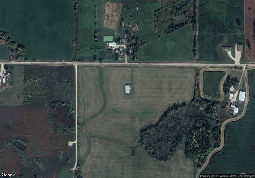
Map
Nearby Homes
- 6500 Deuster Rd
- 6783 Bunker Hill Rd
- 2103 Deer Haven Ct
- 548 Nicole Ln
- 544 Nicole Ln
- 109 Nicole Ln
- 217 Patricia Ln
- 309 Louise Dr
- 421 Fawnwood Ct
- 0 Cth W Unit 50320912
- 30 Golden Wheat Ln
- 4207 Lost Dauphin Rd
- 119 Main St
- 361 Main St
- 1044 Moonriver Dr
- 691 Lime Rock Place
- 941 Ledge Way
- 1445 Rockland Heights Rd
- 3979 Lost Dauphin Rd
- 735 Park St
Your Personal Tour Guide
Ask me questions while you tour the home.