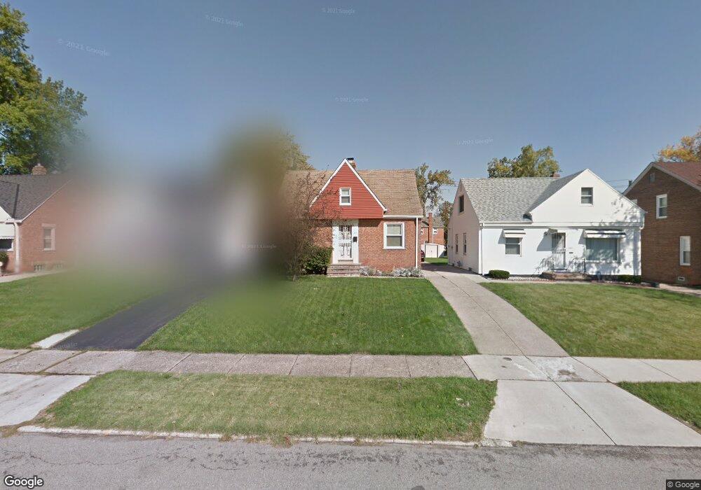
21519 Clare Ave Maple Heights, OH 44137
Estimated Value: $104,935 - $122,000
2
Beds
1
Bath
1,175
Sq Ft
$96/Sq Ft
Est. Value
About This Home
This home is located at 21519 Clare Ave, Maple Heights, OH 44137 and is currently estimated at $112,984, approximately $96 per square foot. 21519 Clare Ave is a home located in Cuyahoga County with nearby schools including Abraham Lincoln Elementary School, Rockside/ J.F. Kennedy School, and Barack Obama School.
Ownership History
Date
Name
Owned For
Owner Type
Purchase Details
Closed on
Nov 30, 1989
Sold by
Skrut Robert A
Bought by
Fedikovich John R
Current Estimated Value
Purchase Details
Closed on
Sep 13, 1983
Sold by
Skrut Robert A
Bought by
Skrut Robert A
Purchase Details
Closed on
Sep 13, 1978
Sold by
Zupancic Edward M and Zupancic Caroline R
Bought by
Skrut Robert A
Purchase Details
Closed on
Jan 1, 1975
Bought by
Zupancic Edward M and Zupancic Caroline R
Create a Home Valuation Report for This Property
The Home Valuation Report is an in-depth analysis detailing your home's value as well as a comparison with similar homes in the area
Home Values in the Area
Average Home Value in this Area
Purchase History
| Date | Buyer | Sale Price | Title Company |
|---|---|---|---|
| Fedikovich John R | $59,900 | -- | |
| Skrut Robert A | $38,000 | -- | |
| Skrut Robert A | $38,000 | -- | |
| Zupancic Edward M | -- | -- |
Source: Public Records
Tax History
| Year | Tax Paid | Tax Assessment Tax Assessment Total Assessment is a certain percentage of the fair market value that is determined by local assessors to be the total taxable value of land and additions on the property. | Land | Improvement |
|---|---|---|---|---|
| 2025 | $2,833 | $34,790 | $3,220 | $31,570 |
| 2024 | $3,146 | $34,790 | $3,220 | $31,570 |
| 2023 | $2,070 | $18,870 | $3,890 | $14,980 |
| 2022 | $2,063 | $18,870 | $3,890 | $14,980 |
| 2021 | $2,195 | $18,870 | $3,890 | $14,980 |
| 2020 | $1,882 | $14,280 | $2,940 | $11,340 |
| 2019 | $1,871 | $40,800 | $8,400 | $32,400 |
| 2018 | $1,749 | $14,280 | $2,940 | $11,340 |
| 2017 | $1,774 | $13,170 | $2,700 | $10,470 |
| 2016 | $1,716 | $13,170 | $2,700 | $10,470 |
| 2015 | $1,707 | $13,170 | $2,700 | $10,470 |
| 2014 | $1,707 | $14,460 | $2,980 | $11,480 |
Source: Public Records
Map
Nearby Homes
- 21860 Louis Rd
- 21202 Hillgrove Ave
- 21607 Libby Rd
- 21207 Franklin Rd
- 21202 Gardenview Dr
- 20905 Clare Ave
- 20814 Clare Ave
- 20806 Clare Ave
- 5285 Mardale Ave
- 20715 Watson Rd
- 5301 Mardale Ave
- 20705 Hansen Rd
- 20600 Watson Rd
- 5147 Warrensville Center Rd
- 0 Miles Rd Unit 5188561
- 5424 Fairtree Rd
- 19910 Mountville Dr
- 19931 Raymond St
- 5385 Bartlett Rd
- 20648 Donny Brook Rd
- 21603 Clare Ave
- 21515 Clare Ave
- 21511 Clare Ave
- 21707 Clare Ave
- 21602 Hillgrove Ave
- 21606 Hillgrove Ave
- 21512 Hillgrove Ave
- 21602 Clare Ave
- 21510 Hillgrove Ave
- 21610 Hillgrove Ave
- 21501 Clare Ave
- 21506 Hillgrove Ave
- 21518 Clare Ave
- 21514 Clare Ave
- 5180 Northfield Rd
- 5170 Northfield Rd
- 21510 Clare Ave
- 21606 Clare Ave
- 21502 Hillgrove Ave
- 21419 Clare Ave
Your Personal Tour Guide
Ask me questions while you tour the home.