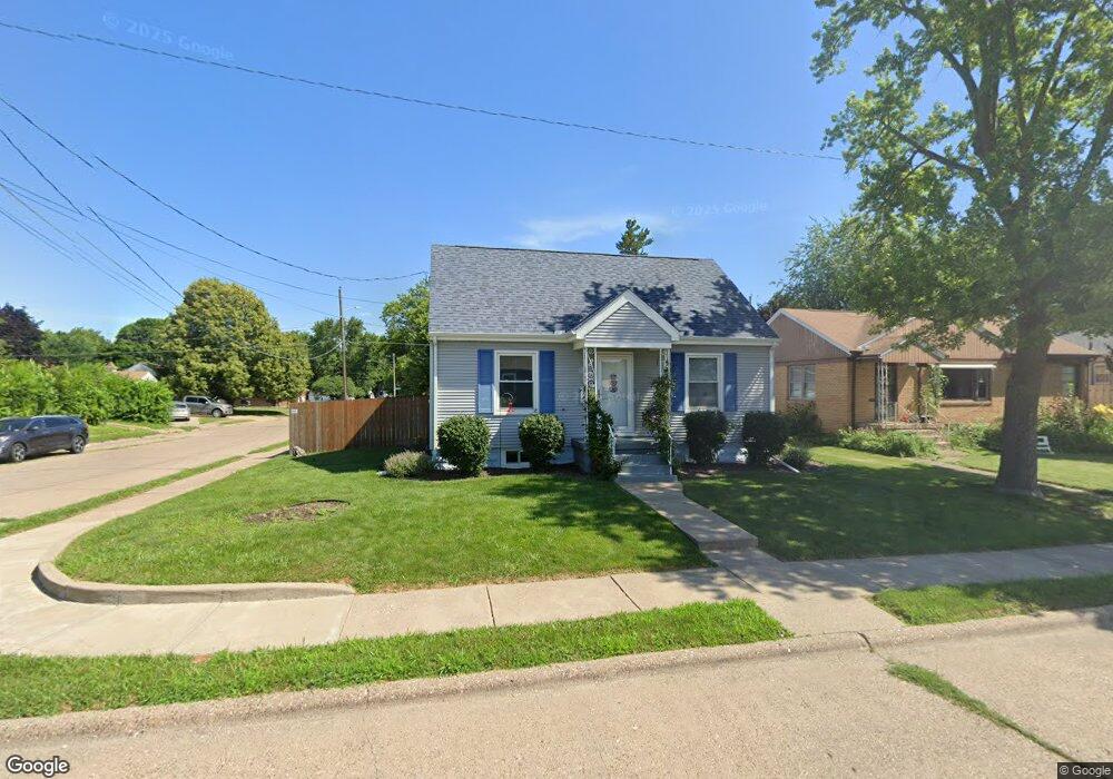
2152 Grove St Davenport, IA 52804
Northwest Davenport NeighborhoodEstimated Value: $146,000 - $154,000
2
Beds
3
Baths
744
Sq Ft
$201/Sq Ft
Est. Value
About This Home
This home is located at 2152 Grove St, Davenport, IA 52804 and is currently estimated at $149,864, approximately $201 per square foot. 2152 Grove St is a home located in Scott County with nearby schools including South Christian Elementary School, Wilson Elementary School, and Christian County Day Treatment Center Alt.
Ownership History
Date
Name
Owned For
Owner Type
Purchase Details
Closed on
Oct 20, 2025
Sold by
Grothus Steven T and Grothus Mariellen J
Bought by
Lissy Eric
Current Estimated Value
Home Financials for this Owner
Home Financials are based on the most recent Mortgage that was taken out on this home.
Original Mortgage
$6,750
Outstanding Balance
$6,750
Interest Rate
6.5%
Mortgage Type
New Conventional
Estimated Equity
$143,114
Create a Home Valuation Report for This Property
The Home Valuation Report is an in-depth analysis detailing your home's value as well as a comparison with similar homes in the area
Home Values in the Area
Average Home Value in this Area
Purchase History
| Date | Buyer | Sale Price | Title Company |
|---|---|---|---|
| Lissy Eric | -- | None Listed On Document |
Source: Public Records
Mortgage History
| Date | Status | Borrower | Loan Amount |
|---|---|---|---|
| Open | Lissy Eric | $6,750 |
Source: Public Records
Tax History Compared to Growth
Tax History
| Year | Tax Paid | Tax Assessment Tax Assessment Total Assessment is a certain percentage of the fair market value that is determined by local assessors to be the total taxable value of land and additions on the property. | Land | Improvement |
|---|---|---|---|---|
| 2025 | $2,056 | $138,610 | $18,400 | $120,210 |
| 2024 | $2,002 | $125,260 | $18,400 | $106,860 |
| 2023 | $2,136 | $125,260 | $18,400 | $106,860 |
| 2022 | $2,130 | $108,900 | $16,100 | $92,800 |
| 2021 | $2,130 | $108,230 | $16,100 | $92,130 |
| 2020 | $1,930 | $97,650 | $16,100 | $81,550 |
| 2019 | $2,000 | $97,650 | $16,100 | $81,550 |
| 2018 | $1,870 | $97,650 | $16,100 | $81,550 |
| 2017 | $522 | $93,880 | $16,100 | $77,780 |
| 2016 | $2,136 | $87,840 | $0 | $0 |
| 2015 | $1,732 | $88,870 | $0 | $0 |
| 2014 | $1,780 | $88,870 | $0 | $0 |
| 2013 | $1,746 | $0 | $0 | $0 |
| 2012 | -- | $83,110 | $19,160 | $63,950 |
Source: Public Records
Map
Nearby Homes
- 1922 N Pine St
- 2103 W High St
- 2223 W Lombard St
- 2102 W 17th St
- 2417 W 18th St
- 2308 Wilkes Ave
- 1723 W Locust St
- 1658 W Lombard St
- 1637 W Pleasant St
- 1604 N Division St
- 2424 Davie St
- 2221 Madison St
- 2314 N Birchwood Ave
- 2236 W Columbia Ave
- 1419 N Division St
- 2640 Wilkes Ave
- 2926 W Lombard St
- 2449 W 13th St
- 2705 N Lincoln Ave
- 2804 Oak St