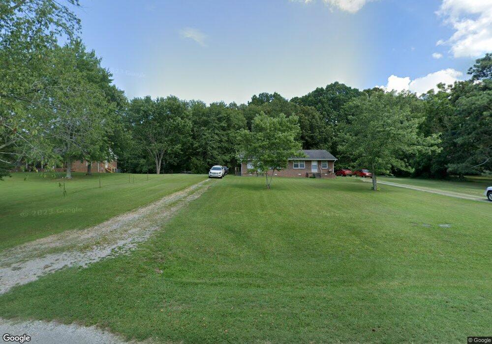
2152 Harlan Dr Lawrenceburg, TN 38464
Estimated Value: $151,000 - $262,000
--
Bed
2
Baths
1,768
Sq Ft
$109/Sq Ft
Est. Value
About This Home
This home is located at 2152 Harlan Dr, Lawrenceburg, TN 38464 and is currently estimated at $192,939, approximately $109 per square foot. 2152 Harlan Dr is a home with nearby schools including Ingram Sowell Elementary School, Lawrenceburg Public Elementary School, and David Crockett Elementary School.
Ownership History
Date
Name
Owned For
Owner Type
Purchase Details
Closed on
Oct 22, 2001
Sold by
Jackson Paul K and Jackson Doris B
Bought by
Surles Charles L and Surles Memra G
Current Estimated Value
Purchase Details
Closed on
Nov 17, 1997
Sold by
Brown Jimmy K and Brown Phyllis K
Bought by
Surles and Memra
Purchase Details
Closed on
Jan 30, 1997
Sold by
Marston and Betty
Bought by
Brown Jimmy K and Brown Phyllis K
Purchase Details
Closed on
Jul 5, 1991
Bought by
Marston Raymon and Marston Betty
Purchase Details
Closed on
Jul 1, 1991
Bought by
Holland Johnny and Holland Joyce
Purchase Details
Closed on
Jan 6, 1988
Bought by
Jackson Paul K
Purchase Details
Closed on
Feb 13, 1986
Purchase Details
Closed on
Jan 1, 1979
Create a Home Valuation Report for This Property
The Home Valuation Report is an in-depth analysis detailing your home's value as well as a comparison with similar homes in the area
Home Values in the Area
Average Home Value in this Area
Purchase History
| Date | Buyer | Sale Price | Title Company |
|---|---|---|---|
| Surles Charles L | $45,500 | -- | |
| Surles | $5,000 | -- | |
| Surles | $8,000 | -- | |
| Brown Jimmy K | $23,500 | -- | |
| Marston Raymon | $47,000 | -- | |
| Holland Johnny | $45,000 | -- | |
| Jackson Paul K | -- | -- | |
| -- | $18,000 | -- | |
| -- | $36,800 | -- |
Source: Public Records
Tax History Compared to Growth
Tax History
| Year | Tax Paid | Tax Assessment Tax Assessment Total Assessment is a certain percentage of the fair market value that is determined by local assessors to be the total taxable value of land and additions on the property. | Land | Improvement |
|---|---|---|---|---|
| 2025 | $926 | $46,080 | $0 | $0 |
| 2024 | $926 | $46,080 | $6,000 | $40,080 |
| 2023 | $926 | $46,080 | $6,000 | $40,080 |
| 2022 | $926 | $46,080 | $6,000 | $40,080 |
| 2021 | $785 | $26,520 | $3,600 | $22,920 |
| 2020 | $785 | $26,520 | $3,600 | $22,920 |
| 2019 | $785 | $26,520 | $3,600 | $22,920 |
| 2018 | $785 | $26,520 | $3,600 | $22,920 |
| 2017 | $785 | $26,520 | $3,600 | $22,920 |
| 2016 | $785 | $26,520 | $3,600 | $22,920 |
| 2015 | $726 | $26,520 | $3,600 | $22,920 |
| 2014 | $743 | $27,120 | $3,600 | $23,520 |
Source: Public Records
Map
Nearby Homes
- 31 Community Rd
- 114 Hummingbird Ln
- 132 Sundance Dr
- 52 Beuerlein Cir
- 0 Woodland Cir Unit RTC3033314
- 48 Woodland Cir
- 1083 Mattox Town Rd
- 729 Weakley Creek Rd
- 1088 Mattox Town Rd
- 14 Delana Ave
- 975 Weakley Creek Rd
- 4000 Weakley Creek Rd
- 4951 Weakley Creek Rd
- 970 9th St
- 0 Lightfoot Ln
- 1050 Baylee Cir
- 1303 5th Ave
- 801 Douglas Dr
- 717 Toben Terrace
- 413 Kirk St