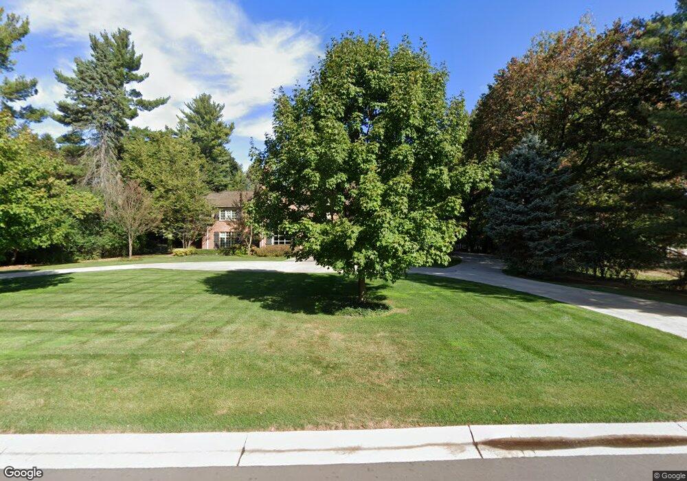
2152 Tottenham Rd Bloomfield Hills, MI 48301
Estimated Value: $1,435,000 - $4,713,000
5
Beds
8
Baths
6,023
Sq Ft
$527/Sq Ft
Est. Value
About This Home
This home is located at 2152 Tottenham Rd, Bloomfield Hills, MI 48301 and is currently estimated at $3,176,163, approximately $527 per square foot. 2152 Tottenham Rd is a home located in Oakland County with nearby schools including Quarton Elementary, Derby Middle School, and Ernest W. Seaholm High School.
Ownership History
Date
Name
Owned For
Owner Type
Purchase Details
Closed on
Sep 1, 2010
Sold by
Dolik Michael N and Dolik Jill L
Bought by
Diskin David K
Current Estimated Value
Home Financials for this Owner
Home Financials are based on the most recent Mortgage that was taken out on this home.
Original Mortgage
$1,360,000
Interest Rate
4.6%
Mortgage Type
New Conventional
Create a Home Valuation Report for This Property
The Home Valuation Report is an in-depth analysis detailing your home's value as well as a comparison with similar homes in the area
Home Values in the Area
Average Home Value in this Area
Purchase History
| Date | Buyer | Sale Price | Title Company |
|---|---|---|---|
| Diskin David K | $1,700,000 | None Available |
Source: Public Records
Mortgage History
| Date | Status | Borrower | Loan Amount |
|---|---|---|---|
| Closed | Diskin David K | $1,360,000 |
Source: Public Records
Tax History
| Year | Tax Paid | Tax Assessment Tax Assessment Total Assessment is a certain percentage of the fair market value that is determined by local assessors to be the total taxable value of land and additions on the property. | Land | Improvement |
|---|---|---|---|---|
| 2025 | $44,033 | $1,711,300 | $370,890 | $1,340,410 |
| 2024 | $21,301 | $1,711,300 | $0 | $0 |
| 2023 | $20,442 | $1,506,430 | $0 | $0 |
| 2022 | $36,255 | $1,427,060 | $0 | $0 |
| 2021 | $36,551 | $1,328,550 | $0 | $0 |
| 2020 | $19,636 | $1,247,870 | $0 | $0 |
| 2019 | $36,229 | $1,392,870 | $0 | $0 |
| 2018 | $35,842 | $1,280,780 | $0 | $0 |
| 2017 | $35,843 | $1,238,490 | $0 | $0 |
| 2016 | $36,047 | $1,291,370 | $0 | $0 |
| 2015 | -- | $1,227,320 | $0 | $0 |
| 2014 | -- | $1,161,670 | $0 | $0 |
| 2011 | -- | $831,310 | $0 | $0 |
Source: Public Records
Map
Nearby Homes
- 1120 Lyonhurst St
- 60 Quarton Ln
- 1444 Fairfax St
- 375 Dunston Rd
- 1094 Suffield Ave
- 1882 Melbourne St
- 1183 Puritan Ave
- 341 Lowell Ct
- 1309 Sandringham Way
- 363 Lakewood Dr
- 1295 Lakeside Dr
- 1551 Lakeside Dr
- 591 Rudgate Rd
- 596 Rudgate Rd
- 592 Lakeside Dr
- 1115 N Old Woodward Ave Unit 52
- 1115 N Old Woodward Ave Unit 61
- 1115 N Old Woodward #76 Ave
- 1115 N Old Woodward Ave
- 1111 N Old Woodward Ave Unit 4
- 2200 Tottenham Rd
- 2120 Redding Rd
- 1530 N Cranbrook Rd
- 1369 Westwood Dr
- 1500 N Cranbrook Rd
- 1472 N Cranbrook Rd
- 2080 Redding Rd
- 1394 Westwood Dr
- 1331 Westwood Dr
- 2169 Tottenham Rd
- 1578 N Cranbrook Rd
- 1356 Westwood Dr
- 1428 N Cranbrook Rd
- 1369 N Glenhurst Dr
- 2010 Redding Rd
- 1298 Westwood Dr
- 2215 Tottenham Rd
- 2075 Quarton Rd
- 1241 Westwood Dr
- 1327 N Glenhurst Dr
Your Personal Tour Guide
Ask me questions while you tour the home.