2153 Denson Ln SW Unit 1 Marietta, GA 30008
Southwestern Marietta NeighborhoodEstimated Value: $312,000 - $330,000
3
Beds
3
Baths
1,490
Sq Ft
$214/Sq Ft
Est. Value
About This Home
This home is located at 2153 Denson Ln SW Unit 1, Marietta, GA 30008 and is currently estimated at $318,365, approximately $213 per square foot. 2153 Denson Ln SW Unit 1 is a home located in Cobb County with nearby schools including Hollydale Elementary School, Smitha Middle School, and Osborne High School.
Ownership History
Date
Name
Owned For
Owner Type
Purchase Details
Closed on
Apr 21, 2000
Sold by
Lewis Alec M and Lewis Alesia A
Bought by
Orji John C
Current Estimated Value
Home Financials for this Owner
Home Financials are based on the most recent Mortgage that was taken out on this home.
Original Mortgage
$113,900
Outstanding Balance
$38,435
Interest Rate
8.23%
Mortgage Type
FHA
Estimated Equity
$279,930
Create a Home Valuation Report for This Property
The Home Valuation Report is an in-depth analysis detailing your home's value as well as a comparison with similar homes in the area
Home Values in the Area
Average Home Value in this Area
Purchase History
| Date | Buyer | Sale Price | Title Company |
|---|---|---|---|
| Orji John C | $114,000 | -- |
Source: Public Records
Mortgage History
| Date | Status | Borrower | Loan Amount |
|---|---|---|---|
| Open | Orji John C | $113,900 |
Source: Public Records
Tax History Compared to Growth
Tax History
| Year | Tax Paid | Tax Assessment Tax Assessment Total Assessment is a certain percentage of the fair market value that is determined by local assessors to be the total taxable value of land and additions on the property. | Land | Improvement |
|---|---|---|---|---|
| 2025 | $2,878 | $130,376 | $27,200 | $103,176 |
| 2024 | $2,881 | $130,376 | $27,200 | $103,176 |
| 2023 | $1,772 | $104,280 | $12,000 | $92,280 |
| 2022 | $2,141 | $95,480 | $12,000 | $83,480 |
| 2021 | $1,367 | $60,136 | $12,000 | $48,136 |
| 2020 | $1,367 | $60,136 | $12,000 | $48,136 |
| 2019 | $1,242 | $54,412 | $8,000 | $46,412 |
| 2018 | $1,242 | $54,412 | $8,000 | $46,412 |
| 2017 | $1,136 | $51,540 | $8,000 | $43,540 |
| 2016 | $957 | $43,352 | $8,000 | $35,352 |
| 2015 | $798 | $35,908 | $8,000 | $27,908 |
| 2014 | $804 | $35,908 | $0 | $0 |
Source: Public Records
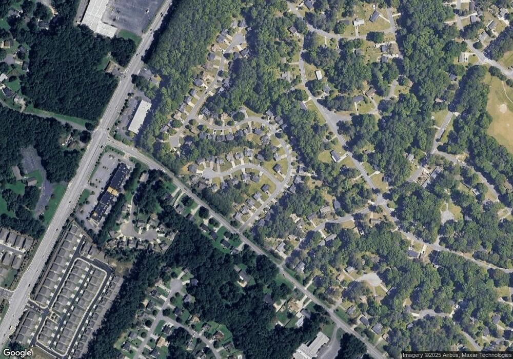
Map
Nearby Homes
- 3000 Fern Valley Dr SW
- 2099 Redbud Ct SW
- 3112 Patriot Square SW
- 3100 Patriot Square SW
- 2318 Powder Springs Rd SW
- 3145 Fern Valley Dr SW
- 3159 Fern Valley Dr SW
- 3106 Sasanqua Ln SW
- 3253 Shadowridge Dr SW
- 3269 Perch Dr SW
- 3310 Bryan Way SW
- 2720 Cold Springs Trail SW
- 3614 Josh Ct
- 2448 Wood Meadows Dr SW
- 0 Burfordi Dr SW Unit 7658493
- 0 Burfordi Dr SW Unit 10637361
- 2450 Horseshoe Bend Rd SW
- 3055 Milford Chase Overlook SW
- 2060 Powder Springs Rd SW
- 2155 Denson Ln SW Unit 1
- 3000 Garland Dr SW
- 0 Denson Lane South W
- 3002 Garland Dr SW
- 2152 Denson Ln SW
- 2157 Denson Ln SW
- 2998 Garland Dr SW
- 3004 Garland Dr SW
- 2154 Denson Ln SW
- 2996 Garland Dr SW
- 2996 Garland Dr SW Unit 2996
- 2156 Denson Lane South W
- 2156 Denson Ln SW
- 3006 Garland Dr SW
- 2994 Garland Dr SW
- 2159 Denson Ln SW
- 2158 Denson Ln SW
- 2158 Denson Ln S W
- 3003 Garland Dr SW
- 2999 Garland Dr SW