2153 Harbortown Cir Unit 2153 Champaign, IL 61821
Bolten Field NeighborhoodEstimated Value: $168,000 - $180,000
2
Beds
2
Baths
1,239
Sq Ft
$141/Sq Ft
Est. Value
About This Home
This home is located at 2153 Harbortown Cir Unit 2153, Champaign, IL 61821 and is currently estimated at $175,040, approximately $141 per square foot. 2153 Harbortown Cir Unit 2153 is a home located in Champaign County with nearby schools including Central High School, Next Generation School, and St. Matthew School.
Ownership History
Date
Name
Owned For
Owner Type
Purchase Details
Closed on
Sep 25, 2024
Sold by
Bozada Suzel T and Bozada Thomas A
Bought by
Bozada Saul A
Current Estimated Value
Purchase Details
Closed on
Aug 28, 2007
Sold by
Perkins Gregory and Perkins Jo Anne
Bought by
Bozada Thomas A and Bozada Suzel T
Purchase Details
Closed on
Apr 27, 2006
Sold by
Toepke Margaret L
Bought by
Perkins Gregory and Perkins Jo Anne
Create a Home Valuation Report for This Property
The Home Valuation Report is an in-depth analysis detailing your home's value as well as a comparison with similar homes in the area
Home Values in the Area
Average Home Value in this Area
Purchase History
| Date | Buyer | Sale Price | Title Company |
|---|---|---|---|
| Bozada Saul A | -- | None Listed On Document | |
| Bozada Thomas A | $106,500 | None Available | |
| Perkins Gregory | $99,000 | None Available |
Source: Public Records
Tax History Compared to Growth
Tax History
| Year | Tax Paid | Tax Assessment Tax Assessment Total Assessment is a certain percentage of the fair market value that is determined by local assessors to be the total taxable value of land and additions on the property. | Land | Improvement |
|---|---|---|---|---|
| 2024 | $3,722 | $45,310 | $12,460 | $32,850 |
| 2023 | $3,722 | $41,270 | $11,350 | $29,920 |
| 2022 | $3,501 | $38,070 | $10,470 | $27,600 |
| 2021 | $3,416 | $37,320 | $10,260 | $27,060 |
| 2020 | $3,422 | $37,320 | $10,260 | $27,060 |
| 2019 | $3,312 | $36,550 | $10,050 | $26,500 |
| 2018 | $3,237 | $35,970 | $9,890 | $26,080 |
| 2017 | $3,250 | $35,970 | $9,890 | $26,080 |
| 2016 | $2,914 | $35,230 | $9,690 | $25,540 |
| 2015 | $2,937 | $34,610 | $9,520 | $25,090 |
| 2014 | $2,912 | $34,610 | $9,520 | $25,090 |
| 2013 | $2,885 | $34,610 | $9,520 | $25,090 |
Source: Public Records
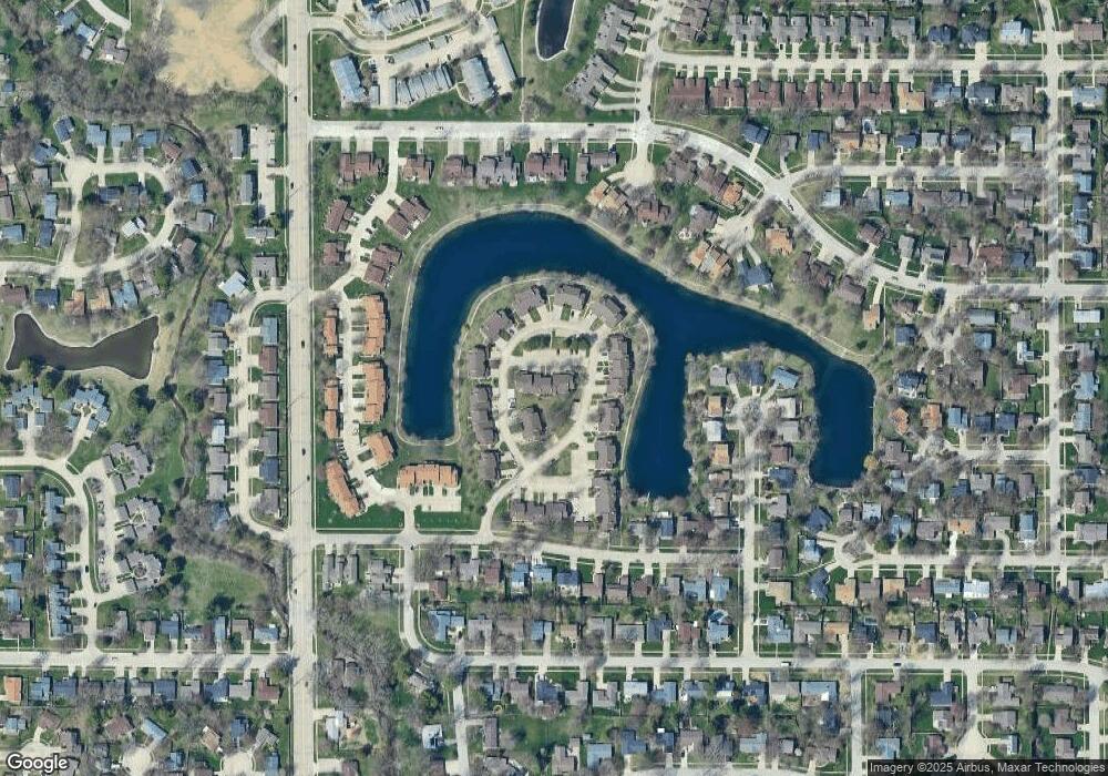
Map
Nearby Homes
- 2144 Harbortown Cir Unit 2144
- 2113 Sunview Dr
- 1901 Branch Rd
- 1928 Blackthorn Dr Unit 1
- 1901 Lakeside Dr Unit B
- 2001 S Mattis Ave Unit E
- 1908 Barberry Cir
- 2002 O Donnell Dr
- 2306 Winchester Dr
- 2404 Windward Blvd Unit 202
- 2302 Blackthorn Dr
- 1318 Broadmoor Dr
- 2505 Windward Blvd Unit 2505
- 2521 Windward Blvd Unit 2521
- 2409 Morrissey Park Dr Unit 2409
- 2410 Stillwater Dr
- 2313 Glenoak Dr
- 1205 Broadmoor Dr
- 2521 Pembrook Point
- 1801 Crescent Dr
- 2155 Harbortown Cir
- 2155 Harbortown Cir Unit A
- 2151 Harbortown Cir
- 2149 Harbortown Cir
- 2157 Harbortown Cir Unit 2157
- 2159 Harbortown Cir
- 2159 Harbortown Cir Unit 1
- 2163 Harbortown Cir
- 2161 Harbortown Cir Unit 2161
- 2167 Harbortown Cir Unit 2167
- 2165 Harbortown Cir Unit 2165
- 2169 Harbortown Cir
- 2171 Harbortown Cir Unit 2171
- 2134 Harbortown Cir
- 2136 Harbortown Cir Unit 2136
- 2128 Harbortown Cir Unit 2128
- 2126 Harbortown Cir
- 2128 Harbortown Cir Unit 1
- 2130 Harbortown Cir Unit 2130
- 2140 Harbortown Cir