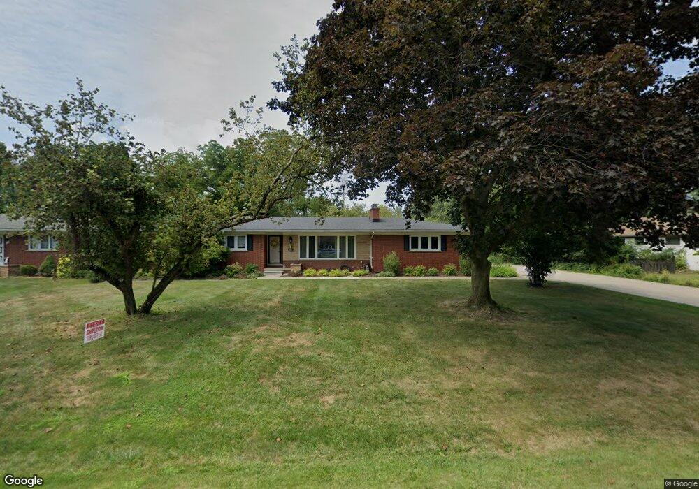
21540 Thorofare Rd Unit Bldg-Unit Grosse Ile, MI 48138
Estimated Value: $360,000 - $384,627
--
Bed
2
Baths
1,839
Sq Ft
$201/Sq Ft
Est. Value
About This Home
This home is located at 21540 Thorofare Rd Unit Bldg-Unit, Grosse Ile, MI 48138 and is currently estimated at $370,407, approximately $201 per square foot. 21540 Thorofare Rd Unit Bldg-Unit is a home located in Wayne County with nearby schools including St. Cyprian Elementary School.
Ownership History
Date
Name
Owned For
Owner Type
Purchase Details
Closed on
May 11, 2022
Sold by
Noyce and Marjorie
Bought by
Noyce John Henry and Noyce John Henry
Current Estimated Value
Purchase Details
Closed on
Mar 6, 2018
Sold by
Halonen Jill B and Watras Jill
Bought by
Watras Jill
Purchase Details
Closed on
Jun 11, 2015
Sold by
Halonen Paula
Bought by
Halonen Paula and Paula Halonen Revocable Living Trust
Purchase Details
Closed on
Apr 12, 2011
Sold by
Halonen Paula
Bought by
Halonen Paula and Culp Laura
Create a Home Valuation Report for This Property
The Home Valuation Report is an in-depth analysis detailing your home's value as well as a comparison with similar homes in the area
Home Values in the Area
Average Home Value in this Area
Purchase History
| Date | Buyer | Sale Price | Title Company |
|---|---|---|---|
| Noyce John Henry | -- | Sims David A | |
| Noyce John Henry | -- | Sims David A | |
| Watras Jill | -- | Title One Inc | |
| Halonen Paula | -- | Attorney | |
| Halonen Paula | -- | None Available |
Source: Public Records
Tax History Compared to Growth
Tax History
| Year | Tax Paid | Tax Assessment Tax Assessment Total Assessment is a certain percentage of the fair market value that is determined by local assessors to be the total taxable value of land and additions on the property. | Land | Improvement |
|---|---|---|---|---|
| 2025 | $3,437 | $155,800 | $0 | $0 |
| 2024 | $3,437 | $153,700 | $0 | $0 |
| 2023 | $3,688 | $141,600 | $0 | $0 |
| 2022 | $8,075 | $130,600 | $0 | $0 |
| 2021 | $7,846 | $130,300 | $0 | $0 |
| 2019 | $7,608 | $124,100 | $0 | $0 |
| 2018 | $2,305 | $120,500 | $0 | $0 |
| 2017 | $5,954 | $117,000 | $0 | $0 |
| 2016 | $5,269 | $115,200 | $0 | $0 |
| 2015 | $11,220 | $114,600 | $0 | $0 |
| 2013 | $10,869 | $114,600 | $0 | $0 |
| 2012 | $2,119 | $111,500 | $30,000 | $81,500 |
Source: Public Records
Map
Nearby Homes
- 21644 Knudsen Dr
- 21438 Meridian Rd
- 21819 Meridian Rd
- 21071 Thorofare Rd
- 21321 Knudsen Dr
- 22133 Meridian Rd
- 9447 Whitall Ln
- 9281 Island Dr
- 8614 Island Blvd
- 22015 Ember Ct
- 8232 Island Blvd
- 21599 Parke Ln
- 21604 E River Rd
- 7806 Island Blvd
- 22271 W River Rd
- 0 West River Unit 20250008619
- 22220 E River Rd
- 9000 Ferry Rd
- 22442 W River Rd
- 0 Ferry Rd Unit 20250033371
- 21540 Thorofare Rd
- 21524 Thorofare Rd
- 8995 Church Rd
- 9065 Church Rd
- 8932 Church Rd
- 8920 Church Rd
- 8942 Church Rd
- 21531 Thorofare Rd
- 21567 Thorofare Rd
- 9108 Church Rd
- 21608 Thorofare Rd
- 21515 Thorofare Rd
- 21587 Thorofare Rd
- 9135 Church Rd
- 9134 Church Rd
- 21545 Thorofare Rd
- 21400 Thorofare Rd
- 9144 Church Rd
- 21644 Thorofare Rd
- 21437 Thorofare Rd