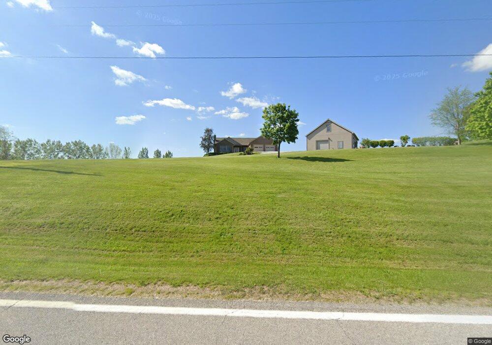
2155 Clay Pike Rd New Concord, OH 43762
Estimated Value: $419,000 - $448,000
--
Bed
--
Bath
2,230
Sq Ft
$193/Sq Ft
Est. Value
About This Home
This home is located at 2155 Clay Pike Rd, New Concord, OH 43762 and is currently estimated at $431,453, approximately $193 per square foot. 2155 Clay Pike Rd is a home with nearby schools including New Concord Elementary School, East Muskingum Middle School, and Larry Miller Intermediate Elementary School.
Ownership History
Date
Name
Owned For
Owner Type
Purchase Details
Closed on
Oct 27, 2022
Sold by
Kennedy Family Trust
Bought by
Philip R Kennedy And Sharon B Kennedy Revocab
Current Estimated Value
Purchase Details
Closed on
Sep 26, 2006
Sold by
Kennedy Philip R and Kennedy Sharon B
Bought by
Kennedy Philip R and Kennedy Sharon B
Create a Home Valuation Report for This Property
The Home Valuation Report is an in-depth analysis detailing your home's value as well as a comparison with similar homes in the area
Home Values in the Area
Average Home Value in this Area
Purchase History
| Date | Buyer | Sale Price | Title Company |
|---|---|---|---|
| Philip R Kennedy And Sharon B Kennedy Revocab | -- | -- | |
| Philip R Kennedy And Sharon B Kennedy Revocab | -- | None Listed On Document | |
| Kennedy Philip R | -- | -- |
Source: Public Records
Tax History Compared to Growth
Tax History
| Year | Tax Paid | Tax Assessment Tax Assessment Total Assessment is a certain percentage of the fair market value that is determined by local assessors to be the total taxable value of land and additions on the property. | Land | Improvement |
|---|---|---|---|---|
| 2024 | $4,974 | $136,213 | $24,766 | $111,447 |
| 2023 | $4,974 | $103,978 | $18,904 | $85,074 |
| 2022 | $4,099 | $103,970 | $18,900 | $85,070 |
| 2021 | $3,666 | $96,920 | $11,850 | $85,070 |
| 2020 | $3,485 | $92,900 | $10,320 | $82,580 |
| 2019 | $6 | $92,900 | $10,320 | $82,580 |
| 2018 | $3,187 | $92,900 | $10,320 | $82,580 |
| 2017 | $3,150 | $80,580 | $8,970 | $71,610 |
| 2016 | $2,851 | $80,580 | $8,970 | $71,610 |
| 2015 | $2,851 | $80,580 | $8,970 | $71,610 |
| 2014 | -- | $73,480 | $7,020 | $66,460 |
| 2013 | $2,594 | $73,480 | $7,020 | $66,460 |
Source: Public Records
Map
Nearby Homes
- 3446 Clay Pike Rd
- 57881 Marlatt Rd
- 54845 Huhn Ln
- 60040 Bliss Rd
- 0 Red Lane Rd
- 4896 High Hill Rd
- 0 Maple Ln
- 60936 Patch Rd
- 59915 Craig Rd
- Lot 18 & 19 Greenbriar Dr
- 61220 Kadon Dr
- 1420 Glenn Hwy
- 67 E Main St
- 1705 S Cove Ln
- 55289 Iowa Rd
- 8 E Main St
- 225 Homestead Dr
- 2043 Southern Rd
- 112 Thompson Ave
- 154 Montgomery Blvd