21566 62nd St NW Sunburg, MN 56289
Estimated Value: $375,000 - $494,000
--
Bed
--
Bath
768
Sq Ft
$564/Sq Ft
Est. Value
About This Home
This home is located at 21566 62nd St NW, Sunburg, MN 56289 and is currently estimated at $432,943, approximately $563 per square foot. 21566 62nd St NW is a home with nearby schools including Prairie Woods Elementary School, New London-Spicer Middle School, and New London-Spicer Senior High School.
Ownership History
Date
Name
Owned For
Owner Type
Purchase Details
Closed on
Aug 21, 2012
Sold by
Spangrud Marlin D and Spangrud Phyllis M
Bought by
Olson Kristi
Current Estimated Value
Home Financials for this Owner
Home Financials are based on the most recent Mortgage that was taken out on this home.
Original Mortgage
$128,000
Outstanding Balance
$19,533
Interest Rate
2.83%
Mortgage Type
New Conventional
Estimated Equity
$413,410
Create a Home Valuation Report for This Property
The Home Valuation Report is an in-depth analysis detailing your home's value as well as a comparison with similar homes in the area
Home Values in the Area
Average Home Value in this Area
Purchase History
| Date | Buyer | Sale Price | Title Company |
|---|---|---|---|
| Olson Kristi | $160,000 | None Available |
Source: Public Records
Mortgage History
| Date | Status | Borrower | Loan Amount |
|---|---|---|---|
| Open | Olson Kristi | $128,000 |
Source: Public Records
Tax History Compared to Growth
Tax History
| Year | Tax Paid | Tax Assessment Tax Assessment Total Assessment is a certain percentage of the fair market value that is determined by local assessors to be the total taxable value of land and additions on the property. | Land | Improvement |
|---|---|---|---|---|
| 2025 | $4,038 | $381,400 | $201,500 | $179,900 |
| 2024 | $3,544 | $403,100 | $217,700 | $185,400 |
| 2023 | $3,082 | $355,100 | $194,500 | $160,600 |
| 2022 | $2,806 | $316,400 | $166,700 | $149,700 |
| 2021 | $2,528 | $251,300 | $125,000 | $126,300 |
| 2020 | $2,600 | $236,500 | $125,000 | $111,500 |
| 2019 | $2,664 | $240,600 | $138,900 | $101,700 |
| 2018 | $2,602 | $240,600 | $138,900 | $101,700 |
| 2017 | $2,624 | $237,000 | $138,900 | $98,100 |
| 2016 | $2,562 | $2,370 | $0 | $0 |
| 2015 | -- | $0 | $0 | $0 |
| 2014 | -- | $0 | $0 | $0 |
Source: Public Records
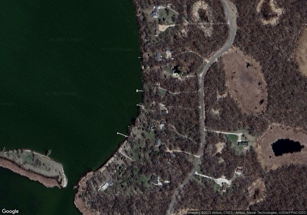
Map
Nearby Homes
- 3614 198th Ave NW
- 20983 72nd St NW
- 4916 189th Ave NW
- 23508 County Road 1 NW
- 17216 County Road 5 NW
- 24175 County Road 5 NW
- 24680 County Road 1 NW
- 23000 5th St NW
- 22869 5th St NW
- 870 S Andrew Dr NE
- 1122 S Andrew Dr NE
- 1245 137th Ave NW
- 25757 133rd St NW
- 13112 2nd St NE
- TBD Lot E Co Rd 40
- 311 131st Ave NE
- TBD Lot H Co Rd 40
- 21631 Kandi-Swift Rd NW
- 13300 330th St
- 4539 141st Ave NE
- 21580 62nd St NW
- 21590 62nd St NW
- 21532 62nd St NW
- 21610 62nd St NW
- 21520 62nd St NW
- 21500 62nd St NW
- 21480 62nd St NW
- 21650 62nd St NW
- 21559 62nd St NW
- 21527 62nd St NW
- 21690 62nd St NW
- 21710 62nd St NW
- 21730 62nd St NW
- 21750 62nd St NW
- 21075 62nd St NW
- 21057 62nd St NW
- 21XXX 62nd St NW
- L5b1 62nd St NW
- 21001 53rd St NW
- XXX 62nd Ave NW