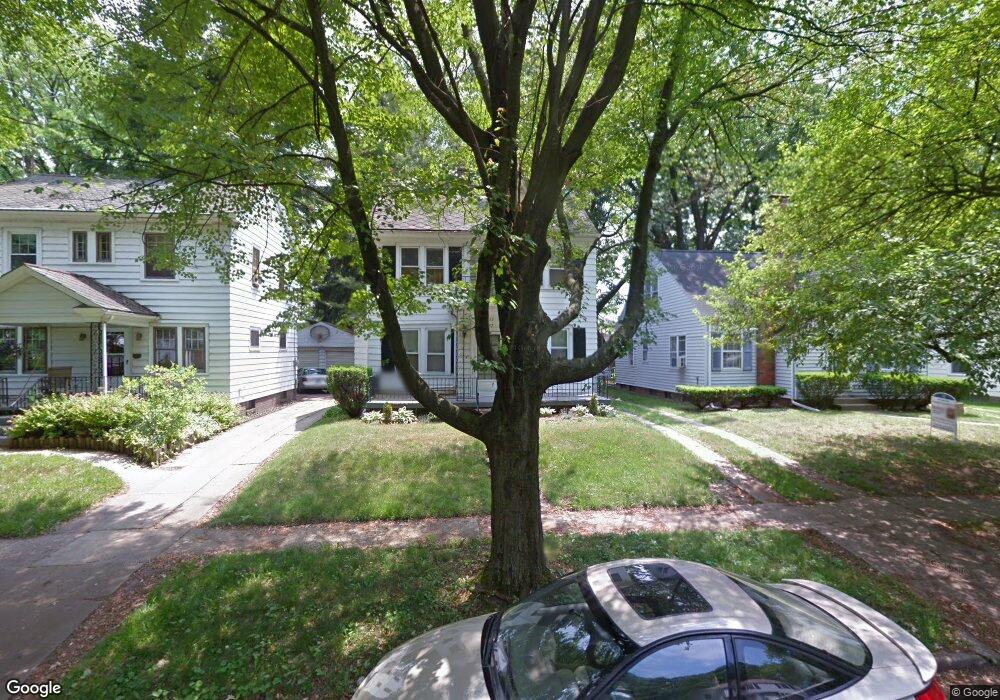
2157 Mansfield Rd Toledo, OH 43613
DeVeaux NeighborhoodEstimated Value: $118,775 - $134,000
3
Beds
1
Bath
1,360
Sq Ft
$93/Sq Ft
Est. Value
About This Home
This home is located at 2157 Mansfield Rd, Toledo, OH 43613 and is currently estimated at $126,694, approximately $93 per square foot. 2157 Mansfield Rd is a home located in Lucas County with nearby schools including McKinley Stemm Academy, Start High School, and Hope Learning Academy of Toledo.
Ownership History
Date
Name
Owned For
Owner Type
Purchase Details
Closed on
Aug 12, 2020
Sold by
Roberson Thomas H
Bought by
Mercer Holdings 1 Llc
Current Estimated Value
Home Financials for this Owner
Home Financials are based on the most recent Mortgage that was taken out on this home.
Interest Rate
2.88%
Purchase Details
Closed on
Jul 10, 2020
Sold by
Robertson Scott H
Bought by
Roberson Thomas H
Home Financials for this Owner
Home Financials are based on the most recent Mortgage that was taken out on this home.
Interest Rate
2.88%
Purchase Details
Closed on
Jun 5, 2020
Sold by
Roberson William F
Bought by
Roberson Thomas H
Purchase Details
Closed on
Dec 15, 2008
Sold by
Roberson Barbara K
Bought by
Roberson William F and Roberson Scott H
Purchase Details
Closed on
Dec 3, 2008
Sold by
Estate Of Scott C Roberson
Bought by
Roberson Barbara K
Create a Home Valuation Report for This Property
The Home Valuation Report is an in-depth analysis detailing your home's value as well as a comparison with similar homes in the area
Home Values in the Area
Average Home Value in this Area
Purchase History
| Date | Buyer | Sale Price | Title Company |
|---|---|---|---|
| Mercer Holdings 1 Llc | $11,278 | -- | |
| Roberson Thomas H | $11,300 | None Available | |
| Roberson Thomas H | -- | None Available | |
| Roberson William F | -- | Attorney | |
| Roberson Barbara K | -- | None Available |
Source: Public Records
Mortgage History
| Date | Status | Borrower | Loan Amount |
|---|---|---|---|
| Closed | Mercer Holdings 1 Llc | -- |
Source: Public Records
Tax History
| Year | Tax Paid | Tax Assessment Tax Assessment Total Assessment is a certain percentage of the fair market value that is determined by local assessors to be the total taxable value of land and additions on the property. | Land | Improvement |
|---|---|---|---|---|
| 2025 | -- | $27,195 | $6,405 | $20,790 |
| 2024 | $857 | $27,195 | $6,405 | $20,790 |
| 2023 | $1,398 | $20,930 | $6,125 | $14,805 |
| 2022 | $1,400 | $20,930 | $6,125 | $14,805 |
| 2021 | $1,432 | $20,930 | $6,125 | $14,805 |
| 2020 | $1,707 | $22,365 | $5,040 | $17,325 |
| 2019 | $1,662 | $22,365 | $5,040 | $17,325 |
| 2018 | $1,679 | $22,365 | $5,040 | $17,325 |
| 2017 | $11,045 | $21,945 | $6,160 | $15,785 |
| 2016 | $8,588 | $62,700 | $17,600 | $45,100 |
| 2015 | $1,694 | $62,700 | $17,600 | $45,100 |
| 2014 | $2,128 | $21,950 | $6,160 | $15,790 |
| 2013 | $1,419 | $21,950 | $6,160 | $15,790 |
Source: Public Records
Map
Nearby Homes
- 2146 Marlow Rd
- 2207 Marlow Rd
- 3664 Sherbrooke Rd
- 2110 Wychwood St
- 3621 Sherbrooke Rd
- 2040 Fairfax Rd
- 2045 Fairfax Rd
- 2005 Marlow Rd
- 1952 Fairfax Rd
- 1953 Talbot St
- 1929 Marlow Rd
- 3720 Kelly Ave
- 3233 Saint Bernard Dr
- 1939 Balkan Place
- 3433 Upton Ave
- 2035 Barrows St
- 2012 Berdan Ave
- 3430 Upton Ave
- 3242 Meadowbrook Ct
- 3430 Douglas Rd
- 2153 Mansfield Rd
- 2161 Mansfield Rd
- 2165 Mansfield Rd
- 2151 Mansfield Rd
- 2169 Mansfield Rd
- 2145 Mansfield Rd
- 2156 Marlow Rd
- 2152 Marlow Rd
- 2141 Mansfield Rd
- 2166 Marlow Rd
- 2173 Mansfield Rd
- 2170 Marlow Rd
- 2158 Mansfield Rd
- 2137 Mansfield Rd
- 2154 Mansfield Rd
- 2162 Mansfield Rd
- 2166 Mansfield Rd
- 2140 Marlow Rd
- 2176 Marlow Rd
- 2146 Mansfield Rd
Your Personal Tour Guide
Ask me questions while you tour the home.