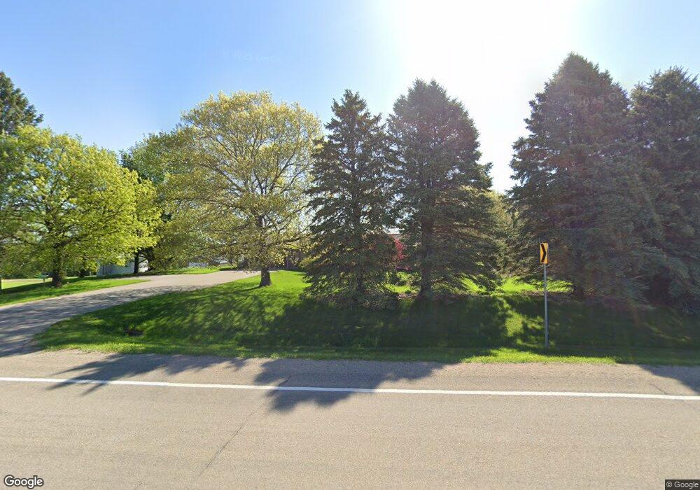
21579 535th Ave Mankato, MN 56001
Estimated Value: $283,000 - $1,165,392
4
Beds
2
Baths
1,282
Sq Ft
$565/Sq Ft
Est. Value
About This Home
This home is located at 21579 535th Ave, Mankato, MN 56001 and is currently estimated at $724,196, approximately $564 per square foot. 21579 535th Ave is a home located in Blue Earth County with nearby schools including Lake Crystal Wellcome Memorial Elementary School and Lake Crystal Wellcome Memorial Secondary School.
Ownership History
Date
Name
Owned For
Owner Type
Purchase Details
Closed on
Mar 25, 2025
Sold by
Hanel Virginia J
Bought by
Virginia J Hanel Revocable Trust and Hanel Virginia J
Current Estimated Value
Purchase Details
Closed on
Jan 28, 2015
Sold by
Hanel Harvey A and Hanel Virginia J
Bought by
Hanel Trust
Create a Home Valuation Report for This Property
The Home Valuation Report is an in-depth analysis detailing your home's value as well as a comparison with similar homes in the area
Home Values in the Area
Average Home Value in this Area
Purchase History
| Date | Buyer | Sale Price | Title Company |
|---|---|---|---|
| Virginia J Hanel Revocable Trust | $500 | None Listed On Document | |
| Hanel Virginia J | $500 | None Listed On Document | |
| Hanel Trust | -- | -- |
Source: Public Records
Tax History Compared to Growth
Tax History
| Year | Tax Paid | Tax Assessment Tax Assessment Total Assessment is a certain percentage of the fair market value that is determined by local assessors to be the total taxable value of land and additions on the property. | Land | Improvement |
|---|---|---|---|---|
| 2025 | $4,082 | $1,123,100 | $862,800 | $260,300 |
| 2024 | $4,082 | $1,210,100 | $940,600 | $269,500 |
| 2023 | $3,618 | $1,100,000 | $835,500 | $264,500 |
| 2022 | $3,332 | $971,600 | $707,100 | $264,500 |
| 2021 | $3,266 | $819,200 | $626,900 | $192,300 |
| 2020 | $3,174 | $812,300 | $636,900 | $175,400 |
| 2019 | $2,472 | $812,300 | $636,900 | $175,400 |
| 2018 | $2,924 | $754,500 | $593,900 | $160,600 |
| 2017 | $2,828 | $786,900 | $637,900 | $149,000 |
| 2016 | $2,920 | $772,500 | $637,900 | $134,600 |
| 2015 | $31 | $801,900 | $670,200 | $131,700 |
| 2014 | -- | $170,800 | $50,000 | $120,800 |
Source: Public Records
Map
Nearby Homes
- 0 Tbd S 60 Hwy Unit TBD Highway 60 S
- 419 Royal Rd
- 3202 3202 Noble Dr
- 3111 3111 Scotch Ln
- 42433 Kerns Dr
- 0 Tbd 421st Ave
- 52718 Foxtail Ln
- 52618 409th Ave
- 52765 409th Ave
- 1705 Heritage Dr
- 1701 Heritage Dr
- 1725 Heritage Dr
- 1713 Heritage Dr
- 1709 Heritage Dr
- 1717 Heritage Dr
- 1721 Heritage Dr
- 1740 Heritage Dr
- 1700 Heritage Dr
- 1736 Heritage Dr
- 1704 Heritage Dr
- 53520 216th St
- 21535 535th Ave
- 21720 Flint Rd
- 21756 Fernwood Ln
- 21786 Flint Rd
- 53756 213th St
- 53792 213th St
- 21764 Fernwood Ln
- 21802 Flint Rd
- 53907 State Highway 68
- 53243 219th St
- 53310 219th St
- 53856 213th St
- 21207 535th Ave
- 53298 219th St
- 53214 213th St
- 53246 219th St
- 21157 535th Ave
- 21998 Fernwood Ln
- 53311 State Highway 68
