21580 62nd St NW Sunburg, MN 56289
Estimated Value: $428,106 - $528,000
2
Beds
2
Baths
1,112
Sq Ft
$415/Sq Ft
Est. Value
About This Home
This home is located at 21580 62nd St NW, Sunburg, MN 56289 and is currently estimated at $461,527, approximately $415 per square foot. 21580 62nd St NW is a home located in Kandiyohi County with nearby schools including Prairie Woods Elementary School, New London-Spicer Middle School, and New London-Spicer Senior High School.
Ownership History
Date
Name
Owned For
Owner Type
Purchase Details
Closed on
Aug 17, 2018
Sold by
Peterson Jill R and Ashworth Pamela L
Bought by
Amundson Darin W
Current Estimated Value
Home Financials for this Owner
Home Financials are based on the most recent Mortgage that was taken out on this home.
Original Mortgage
$234,000
Outstanding Balance
$203,220
Interest Rate
4.5%
Mortgage Type
New Conventional
Estimated Equity
$258,307
Purchase Details
Closed on
Nov 28, 2005
Sold by
Peterson Jill R and Ashworth Pamela L
Bought by
Peterson Jill R and Ashworth Pamela L
Home Financials for this Owner
Home Financials are based on the most recent Mortgage that was taken out on this home.
Original Mortgage
$264,800
Interest Rate
6.17%
Mortgage Type
New Conventional
Create a Home Valuation Report for This Property
The Home Valuation Report is an in-depth analysis detailing your home's value as well as a comparison with similar homes in the area
Home Values in the Area
Average Home Value in this Area
Purchase History
| Date | Buyer | Sale Price | Title Company |
|---|---|---|---|
| Amundson Darin W | $260,000 | None Available | |
| Peterson Jill R | -- | Kandiyohi Abstract & Title C |
Source: Public Records
Mortgage History
| Date | Status | Borrower | Loan Amount |
|---|---|---|---|
| Open | Amundson Darin W | $234,000 | |
| Previous Owner | Peterson Jill R | $264,800 |
Source: Public Records
Tax History Compared to Growth
Tax History
| Year | Tax Paid | Tax Assessment Tax Assessment Total Assessment is a certain percentage of the fair market value that is determined by local assessors to be the total taxable value of land and additions on the property. | Land | Improvement |
|---|---|---|---|---|
| 2025 | $3,992 | $417,600 | $220,200 | $197,400 |
| 2024 | $3,438 | $440,500 | $237,900 | $202,600 |
| 2023 | $3,020 | $387,900 | $212,600 | $175,300 |
| 2022 | $2,838 | $346,900 | $182,300 | $164,600 |
| 2021 | $2,798 | $276,900 | $136,700 | $140,200 |
| 2020 | $2,894 | $261,300 | $136,700 | $124,600 |
| 2019 | $3,126 | $267,200 | $151,900 | $115,300 |
| 2018 | $3,090 | $281,400 | $151,900 | $129,500 |
| 2017 | $3,116 | $280,300 | $151,900 | $128,400 |
| 2016 | $3,048 | $2,803 | $0 | $0 |
| 2015 | -- | $0 | $0 | $0 |
| 2014 | -- | $0 | $0 | $0 |
Source: Public Records
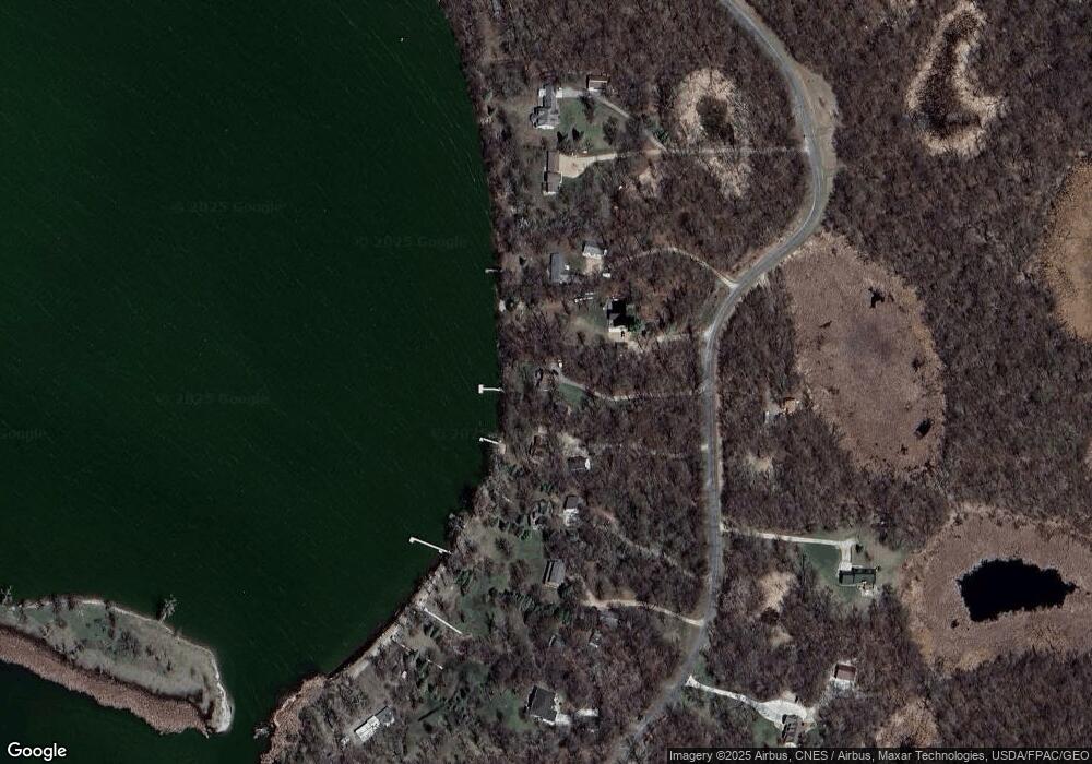
Map
Nearby Homes
- 3614 198th Ave NW
- 20983 72nd St NW
- 4916 189th Ave NW
- 23508 County Road 1 NW
- 24175 County Road 5 NW
- 17216 County Road 5 NW
- 24680 County Road 1 NW
- 23000 5th St NW
- 22869 5th St NW
- 870 S Andrew Dr NE
- 1122 S Andrew Dr NE
- 1245 137th Ave NW
- 25757 133rd St NW
- TBD Lot E Co Rd 40
- 13112 2nd St NE
- 311 131st Ave NE
- TBD Lot H Co Rd 40
- 21631 Kandi-Swift Rd NW
- 13300 330th St
- 4539 141st Ave NE
- 21566 62nd St NW
- 21590 62nd St NW
- 21610 62nd St NW
- 21532 62nd St NW
- 21520 62nd St NW
- 21650 62nd St NW
- 21500 62nd St NW
- 21559 62nd St NW
- 21480 62nd St NW
- 21527 62nd St NW
- 21690 62nd St NW
- 21710 62nd St NW
- 21730 62nd St NW
- 21750 62nd St NW
- 21XXX 62nd St NW
- L5b1 62nd St NW
- 21057 62nd St NW
- 21075 62nd St NW
- 21001 53rd St NW
- 21782 62nd St NW