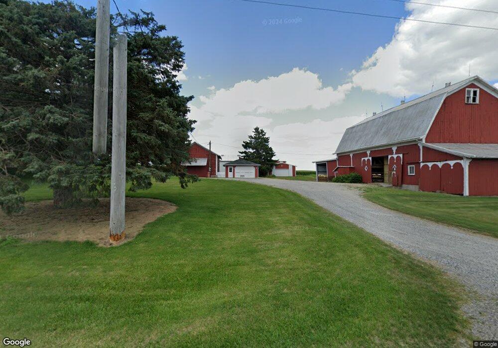
21589 Us Highway 20a West Unity, OH 43570
Estimated Value: $284,000 - $347,410
3
Beds
2
Baths
2,716
Sq Ft
$118/Sq Ft
Est. Value
About This Home
This home is located at 21589 Us Highway 20a, West Unity, OH 43570 and is currently estimated at $321,353, approximately $118 per square foot. 21589 Us Highway 20a is a home with nearby schools including Hilltop Elementary School and Hilltop High School.
Ownership History
Date
Name
Owned For
Owner Type
Purchase Details
Closed on
Dec 26, 2015
Sold by
Scarbrough Cheryl A Fielitz and Fielitz Juli A
Bought by
Graber Jacob D and Graber Rebekah J
Current Estimated Value
Home Financials for this Owner
Home Financials are based on the most recent Mortgage that was taken out on this home.
Original Mortgage
$510,000
Interest Rate
3.58%
Mortgage Type
Unknown
Purchase Details
Closed on
Dec 25, 2015
Sold by
Fielitz Cheryl A and Fielitz Juli A
Bought by
R & S Farms
Home Financials for this Owner
Home Financials are based on the most recent Mortgage that was taken out on this home.
Original Mortgage
$510,000
Interest Rate
3.58%
Mortgage Type
Unknown
Purchase Details
Closed on
Jan 23, 1998
Sold by
Fielitz Gaylord D
Bought by
Fielitz Ronald G Trustee Fielitz Luann S
Purchase Details
Closed on
Jan 1, 1990
Bought by
Fielitz Gaylord D
Create a Home Valuation Report for This Property
The Home Valuation Report is an in-depth analysis detailing your home's value as well as a comparison with similar homes in the area
Home Values in the Area
Average Home Value in this Area
Purchase History
| Date | Buyer | Sale Price | Title Company |
|---|---|---|---|
| Graber Jacob D | $200,000 | None Available | |
| R & S Farms | $560,000 | None Available | |
| Fielitz Ronald G Trustee Fielitz Luann S | -- | -- | |
| Fielitz Gaylord D | -- | -- |
Source: Public Records
Mortgage History
| Date | Status | Borrower | Loan Amount |
|---|---|---|---|
| Previous Owner | R & S Farms | $510,000 |
Source: Public Records
Tax History Compared to Growth
Tax History
| Year | Tax Paid | Tax Assessment Tax Assessment Total Assessment is a certain percentage of the fair market value that is determined by local assessors to be the total taxable value of land and additions on the property. | Land | Improvement |
|---|---|---|---|---|
| 2024 | $3,695 | $99,510 | $14,910 | $84,600 |
| 2023 | $3,695 | $78,330 | $13,370 | $64,960 |
| 2022 | $3,524 | $78,330 | $13,370 | $64,960 |
| 2021 | $3,471 | $78,330 | $13,370 | $64,960 |
| 2020 | $3,022 | $65,390 | $11,240 | $54,150 |
| 2019 | $2,934 | $65,390 | $11,240 | $54,150 |
| 2018 | $3,585 | $65,390 | $11,240 | $54,150 |
| 2017 | $2,750 | $61,150 | $9,840 | $51,310 |
| 2016 | $4,211 | $61,150 | $9,840 | $51,310 |
| 2015 | $3,187 | $155,680 | $104,370 | $51,310 |
| 2014 | $3,187 | $125,940 | $79,280 | $46,660 |
| 2013 | $3,146 | $125,940 | $79,280 | $46,660 |
Source: Public Records
Map
Nearby Homes
- 1070 E Meadow Cir
- 22227 Us Highway 20a
- 000 W Jackson
- 340 S Main St
- 205 Taylor Dr
- 16806 US Highway 20a
- 7170 County Road 23
- 3522 Woodlane Dr
- 23161 County Road Jk
- 0 U S 20
- 305 W Mulberry St
- 108 E Church St
- 24218 State Route 2
- 301 Horton St
- 552 Quail Run
- 15664 County Road K
- 433 Primrose Ln
- 301 N Pointe Dr
- 404 Walnut St
- 14701 Us Highway 127
- 21556 Us Highway 20a
- 21488 Us Highway 20a
- 21488 U S 20a
- 21400 Us Highway 20a
- 21351 U S 20a
- 21351 Us Highway 20a
- 12341 County Road 2150
- 12386 County Road 2150
- 22014 Us Highway 20a
- 22014 U S 20a
- 21190 U S 20a
- 11873 County Road 22
- 21190 Us Highway 20a
- 12473 County Road 2150
- 1069 E Meadows Cir
- 22109 Us Highway 20a
- 1037 E Meadows Cir
- 1065 E Meadows Cir
- 21066 Us Highway 20a
- 1062 E Meadow Cir