216 Butternut Ave Red Wing, MN 55066
Estimated Value: $345,396 - $375,000
4
Beds
3
Baths
1,344
Sq Ft
$267/Sq Ft
Est. Value
About This Home
This home is located at 216 Butternut Ave, Red Wing, MN 55066 and is currently estimated at $359,099, approximately $267 per square foot. 216 Butternut Ave is a home located in Goodhue County with nearby schools including Burnside Elementary School, Sunnyside Elementary School, and Twin Bluff Middle School.
Ownership History
Date
Name
Owned For
Owner Type
Purchase Details
Closed on
Sep 21, 2016
Sold by
Wedrickas Ryan J
Bought by
Goering Tyler C and Goering Katie
Current Estimated Value
Purchase Details
Closed on
Dec 12, 2008
Sold by
Stensberg Todd S and Stensberg Mary K
Bought by
Wedrickas Ryan J
Purchase Details
Closed on
Aug 22, 2006
Sold by
Sexson Wayne L and Sexson Amy R
Bought by
Stensberg Todd S and Stensberg Mary K
Purchase Details
Closed on
Jan 7, 2004
Sold by
Matuska Ronald W and Matuska Jeanette M
Bought by
Sexson Wayne L and Sexson Amy R
Create a Home Valuation Report for This Property
The Home Valuation Report is an in-depth analysis detailing your home's value as well as a comparison with similar homes in the area
Home Values in the Area
Average Home Value in this Area
Purchase History
| Date | Buyer | Sale Price | Title Company |
|---|---|---|---|
| Goering Tyler C | $260,000 | Goodhue County Abstract | |
| Wedrickas Ryan J | $222,000 | -- | |
| Stensberg Todd S | $255,000 | -- | |
| Sexson Wayne L | $227,000 | -- |
Source: Public Records
Tax History
| Year | Tax Paid | Tax Assessment Tax Assessment Total Assessment is a certain percentage of the fair market value that is determined by local assessors to be the total taxable value of land and additions on the property. | Land | Improvement |
|---|---|---|---|---|
| 2025 | $4,310 | $338,800 | $53,800 | $285,000 |
| 2024 | $4,310 | $332,500 | $53,800 | $278,700 |
| 2023 | $2,137 | $313,200 | $53,800 | $259,400 |
| 2022 | $3,808 | $311,300 | $53,800 | $257,500 |
| 2021 | $3,538 | $265,900 | $53,800 | $212,100 |
| 2020 | $3,492 | $251,800 | $53,800 | $198,000 |
| 2019 | $3,466 | $233,900 | $53,800 | $180,100 |
| 2018 | $2,790 | $234,800 | $51,800 | $183,000 |
| 2017 | $2,720 | $205,600 | $51,800 | $153,800 |
| 2016 | $2,780 | $203,200 | $51,800 | $151,400 |
| 2015 | $2,688 | $197,100 | $51,800 | $145,300 |
| 2014 | -- | $190,300 | $51,800 | $138,500 |
Source: Public Records
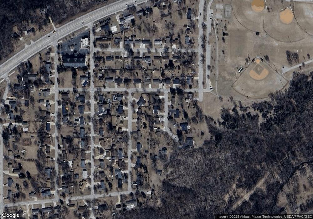
Map
Nearby Homes
- 237 Butternut Ave
- 135 Kingswood Dr
- 133 Kingswood Dr
- 853 Aurora Cir
- 3429 Helen Ln
- 912 Aurora Cir
- 694 Aspen Ave
- 4739 Big Sky Ct
- 1056 Birch Ave
- 921 Snowbird Dr
- 910 Snowbird Dr
- 914 Snowbird Dr
- 4958 Chalet Ct
- 113 Burnside Ave S
- 2820 N Service Dr
- 5542 Cannon Dale Ct
- 1140 Hewitt Blvd
- 1125 Hewitt Blvd
- 1181 Hewitt Blvd
- 430 Harrison St
- 226 Butternut Ave
- 208 Butternut Ave
- 219 Debra Ave
- 209 Debra Ave
- 229 Debra Ave
- 209 Butternut Ave
- 236 Butternut Ave
- 217 Butternut Ave
- 239 Debra Ave
- 227 Butternut Ave
- 4136 Robert St
- 4146 Robert St
- 4128 Robert St
- 210 Johnson Ave
- 4120 Robert St
- 4154 Robert St
- 216 Debra Ave
- 226 Debra Ave
- 208 Debra Ave
- 249 Debra Ave
Your Personal Tour Guide
Ask me questions while you tour the home.