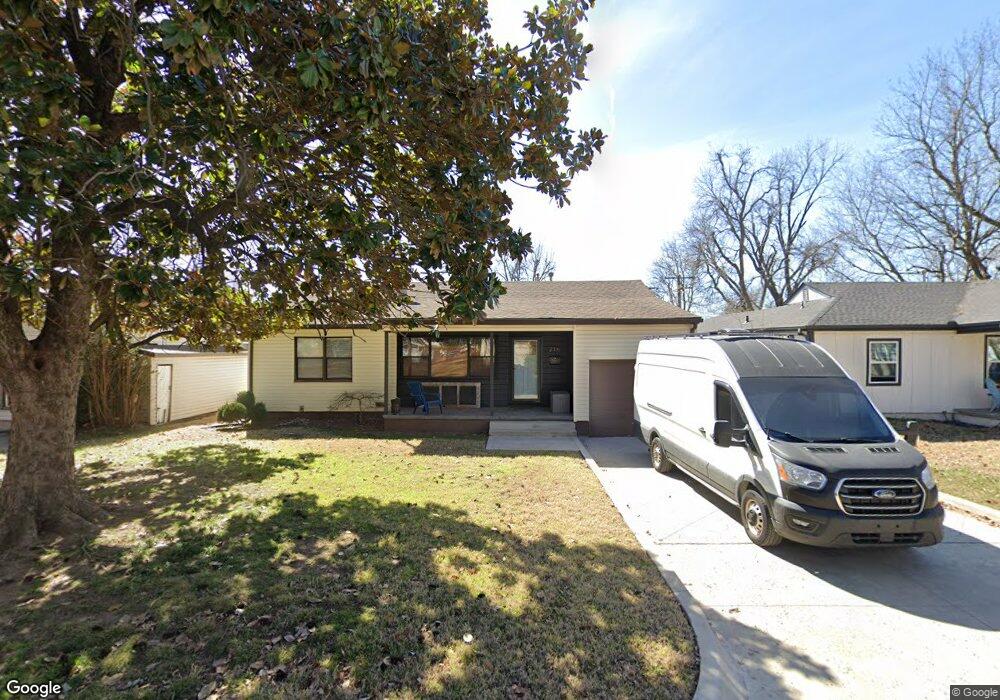
216 E 54th St Tulsa, OK 74105
South Peoria NeighborhoodEstimated Value: $150,000 - $173,529
3
Beds
1
Bath
1,084
Sq Ft
$147/Sq Ft
Est. Value
About This Home
This home is located at 216 E 54th St, Tulsa, OK 74105 and is currently estimated at $159,882, approximately $147 per square foot. 216 E 54th St is a home located in Tulsa County with nearby schools including Marshall Elementary School, Memorial Middle School, and Memorial High School.
Ownership History
Date
Name
Owned For
Owner Type
Purchase Details
Closed on
Oct 7, 1999
Sold by
Bruffett Jan Walden and Bruffett Jesse Theodore
Bought by
Burgeson Michael John
Current Estimated Value
Purchase Details
Closed on
Jul 7, 1999
Sold by
Huffstetler Joan W
Bought by
Burgeson John and Burgeson Michael
Purchase Details
Closed on
Jun 6, 1997
Sold by
Walden Billie W
Bought by
Walden Billie W and Boatmans Trust Company
Create a Home Valuation Report for This Property
The Home Valuation Report is an in-depth analysis detailing your home's value as well as a comparison with similar homes in the area
Home Values in the Area
Average Home Value in this Area
Purchase History
| Date | Buyer | Sale Price | Title Company |
|---|---|---|---|
| Burgeson Michael John | -- | -- | |
| Burgeson John | $61,000 | -- | |
| Burgeson Michael J | $61,000 | -- | |
| Walden Billie W | -- | -- |
Source: Public Records
Tax History
| Year | Tax Paid | Tax Assessment Tax Assessment Total Assessment is a certain percentage of the fair market value that is determined by local assessors to be the total taxable value of land and additions on the property. | Land | Improvement |
|---|---|---|---|---|
| 2025 | $1,526 | $11,386 | $2,822 | $8,564 |
| 2024 | $1,311 | $10,844 | $3,137 | $7,707 |
| 2023 | $1,311 | $10,327 | $2,748 | $7,579 |
| 2022 | $1,311 | $9,835 | $3,284 | $6,551 |
| 2021 | $1,237 | $9,367 | $3,128 | $6,239 |
| 2020 | $1,162 | $8,921 | $2,979 | $5,942 |
| 2019 | $1,222 | $8,921 | $2,979 | $5,942 |
| 2018 | $1,197 | $8,712 | $2,909 | $5,803 |
| 2017 | $1,000 | $8,297 | $2,770 | $5,527 |
| 2016 | $947 | $8,056 | $2,690 | $5,366 |
| 2015 | $917 | $7,821 | $2,838 | $4,983 |
| 2014 | $909 | $7,821 | $2,838 | $4,983 |
Source: Public Records
Map
Nearby Homes
- 5530 S Boston Place
- 5342 S Owasso Ave
- 5610 S Madison Place Unit 5610
- 5637 S Newport Ave Unit 5637
- 4953 S Detroit Ave
- 4966 S Newport Ave
- 5680 S Boston Ave
- 5320 S Quincy Ave
- 1328 E 55th Place
- 1342 E 55th Place
- 4931 S Madison Ave
- 1407 E 52nd Place
- 1403 E 52nd St
- 4769 S Boston Ave
- 4828 S Madison Ave
- 4824 S Owasso Ave
- 1416 E 50th St
- 1538 E 53rd St
- 5302 S Saint Louis Ave
- 248 E 54th St
- 212 E 54th St
- 222 E 54th St
- 5414 S Madison Ave
- 208 E 54th St
- 219 E 54th St
- 5431 S Cincinnati Ave
- 204 E 54th St
- 213 E 54th St
- 5444 S Madison Ave
- 207 E 54th St
- 5409 S Madison Ave
- 5437 S Cincinnati Ave
- 1003 E 54th St
- 5337 S Detroit Ave
- 5415 S Madison Ave
- 1012 E 54th St
- 203 E 54th St
- 86 E 53rd Place
- 5419 S Madison Ave
- 122 E 54th St
Your Personal Tour Guide
Ask me questions while you tour the home.