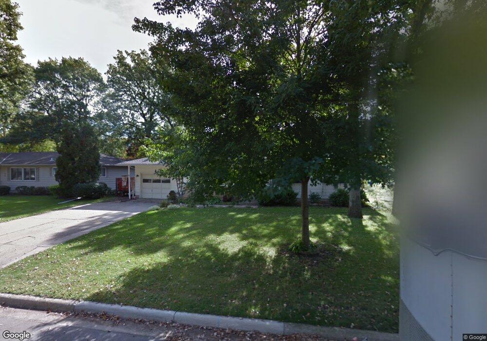
216 Fredrick Dr Albert Lea, MN 56007
Estimated Value: $203,875 - $233,000
3
Beds
2
Baths
1,236
Sq Ft
$176/Sq Ft
Est. Value
About This Home
This home is located at 216 Fredrick Dr, Albert Lea, MN 56007 and is currently estimated at $217,719, approximately $176 per square foot. 216 Fredrick Dr is a home located in Freeborn County with nearby schools including Hawthorne Elementary School, Southwest Middle School, and Albert Lea Senior High School.
Ownership History
Date
Name
Owned For
Owner Type
Purchase Details
Closed on
Sep 23, 2019
Sold by
Baas Jerri A and Baas Dawn
Bought by
Kohl Julie Lynne
Current Estimated Value
Home Financials for this Owner
Home Financials are based on the most recent Mortgage that was taken out on this home.
Original Mortgage
$154,846
Outstanding Balance
$135,353
Interest Rate
3.5%
Mortgage Type
VA
Estimated Equity
$82,366
Create a Home Valuation Report for This Property
The Home Valuation Report is an in-depth analysis detailing your home's value as well as a comparison with similar homes in the area
Home Values in the Area
Average Home Value in this Area
Purchase History
| Date | Buyer | Sale Price | Title Company |
|---|---|---|---|
| Kohl Julie Lynne | $149,900 | Stewart Title |
Source: Public Records
Mortgage History
| Date | Status | Borrower | Loan Amount |
|---|---|---|---|
| Open | Kohl Julie Lynne | $154,846 |
Source: Public Records
Tax History
| Year | Tax Paid | Tax Assessment Tax Assessment Total Assessment is a certain percentage of the fair market value that is determined by local assessors to be the total taxable value of land and additions on the property. | Land | Improvement |
|---|---|---|---|---|
| 2025 | $2,472 | $212,100 | $21,500 | $190,600 |
| 2024 | $2,276 | $182,400 | $21,500 | $160,900 |
| 2023 | $2,318 | $166,700 | $21,500 | $145,200 |
| 2022 | $2,004 | $169,900 | $21,500 | $148,400 |
| 2021 | $2,032 | $132,900 | $21,500 | $111,400 |
| 2020 | $1,988 | $131,400 | $21,500 | $109,900 |
| 2019 | $1,660 | $115,400 | $18,300 | $97,100 |
| 2018 | $1,604 | $0 | $0 | $0 |
| 2016 | $1,478 | $0 | $0 | $0 |
| 2015 | $1,382 | $0 | $0 | $0 |
| 2014 | $1,278 | $0 | $0 | $0 |
| 2012 | $1,456 | $0 | $0 | $0 |
Source: Public Records
Map
Nearby Homes
- 313 Glenn Rd
- 319 Glenn Rd
- 307 E Richway Dr
- 103 W Richway Dr
- 105 E Hawthorne St
- 1612 Hale Dr
- 1609 Keystone Dr
- 1626 Keystone Dr
- 613 & 615 Giles Place
- 618 & 620 Giles Place
- 1805 Lakewood Ave
- 902 Clausen Ave
- 1823 Lakewood Ave Unit 2
- 1106 Foothills Cir
- 406 Robin Rd
- 522 Alice Ave
- 1807 Brookside Dr
- 1814 Brookside Cir
- 311 Meredith Rd
- 640 Marshall St
- 220 Fredrick Dr
- 212 Fredrick Dr
- 311 Lloyd Place
- 309 Lloyd Place
- 208 Fredrick Dr
- 215 Fredrick Dr
- 313 Lloyd Place
- 307 Lloyd Place
- 302 Fredrick Dr
- 213 Fredrick Dr
- 317 Lloyd Place
- 1603 Morley Rd
- 209 Fredrick Dr
- 204 Fredrick Dr
- 305 Lloyd Place
- 303 Fredrick Dr
- 205 Fredrick Dr
- 306 Lloyd Place
- 310 Lloyd Place
- 319 Lloyd Place
Your Personal Tour Guide
Ask me questions while you tour the home.