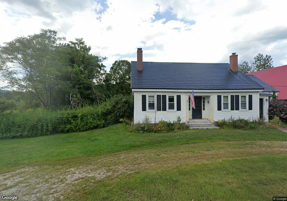
216 Groton Rd Hebron, NH 03241
Estimated Value: $563,000 - $670,000
4
Beds
1
Bath
2,196
Sq Ft
$285/Sq Ft
Est. Value
About This Home
This home is located at 216 Groton Rd, Hebron, NH 03241 and is currently estimated at $624,776, approximately $284 per square foot. 216 Groton Rd is a home located in Grafton County with nearby schools including Bridgewater-Hebron Village School.
Ownership History
Date
Name
Owned For
Owner Type
Purchase Details
Closed on
Feb 27, 2017
Sold by
Fleming Kathleen
Bought by
Hayes Scott F and Kelly Barbara J
Current Estimated Value
Home Financials for this Owner
Home Financials are based on the most recent Mortgage that was taken out on this home.
Original Mortgage
$319,271
Interest Rate
4.12%
Mortgage Type
Purchase Money Mortgage
Create a Home Valuation Report for This Property
The Home Valuation Report is an in-depth analysis detailing your home's value as well as a comparison with similar homes in the area
Home Values in the Area
Average Home Value in this Area
Purchase History
| Date | Buyer | Sale Price | Title Company |
|---|---|---|---|
| Hayes Scott F | $320,000 | -- |
Source: Public Records
Mortgage History
| Date | Status | Borrower | Loan Amount |
|---|---|---|---|
| Open | Hayes Scott F | $286,020 | |
| Closed | Hayes Scott F | $319,271 | |
| Previous Owner | Hayes Scott F | $224,000 | |
| Previous Owner | Hayes Scott F | $110,000 |
Source: Public Records
Tax History
| Year | Tax Paid | Tax Assessment Tax Assessment Total Assessment is a certain percentage of the fair market value that is determined by local assessors to be the total taxable value of land and additions on the property. | Land | Improvement |
|---|---|---|---|---|
| 2025 | $3,854 | $425,400 | $107,600 | $317,800 |
| 2024 | $2,974 | $425,400 | $107,600 | $317,800 |
| 2023 | $2,671 | $418,600 | $107,600 | $311,000 |
| 2022 | $2,859 | $418,600 | $107,600 | $311,000 |
| 2021 | $2,729 | $418,600 | $107,600 | $311,000 |
| 2020 | $3,094 | $322,300 | $86,800 | $235,500 |
| 2019 | $3,123 | $322,300 | $86,800 | $235,500 |
| 2018 | $2,694 | $322,300 | $86,800 | $235,500 |
| 2017 | $2,881 | $322,300 | $86,800 | $235,500 |
| 2016 | $2,682 | $322,300 | $86,800 | $235,500 |
| 2015 | $2,243 | $281,800 | $78,500 | $203,300 |
| 2014 | $2,305 | $281,800 | $78,500 | $203,300 |
| 2013 | $2,268 | $281,800 | $78,500 | $203,300 |
Source: Public Records
Map
Nearby Homes
- lot #7 Country Ln
- 8 Country Ln
- 21 Dodge Rd
- 00 Ledgewood Cir Unit 7
- 431 George Rd
- 715 N Groton Rd
- 341 Perkins Hill Rd
- 33 Winterberry Ln
- 20 Brock Ln
- 76 Davis Rd Unit M-6
- 21 Village West Dr Unit 14
- 154 Bell Rd
- 862 Mayhew Turnpike Unit 16
- 862 Mayhew Turnpike Unit 13
- 114 Ledgewood Terrace
- 213-023-3 Yeaton Rd
- 213-023-1 Yeaton Rd
- 213-023-2 Yeaton Rd
- 80 Patten Rd
- 208 New Hebron Rd
Your Personal Tour Guide
Ask me questions while you tour the home.