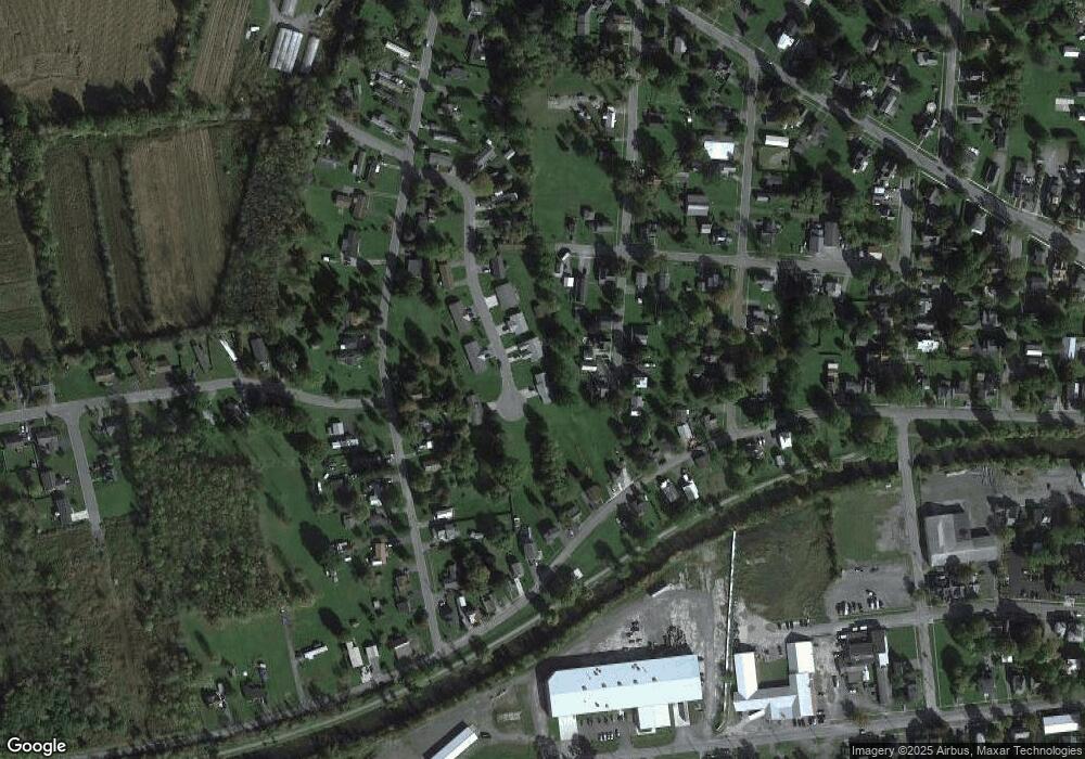
216 Kay Cir Unit 218 Canastota, NY 13032
Estimated Value: $143,000 - $195,608
4
Beds
2
Baths
1,414
Sq Ft
$115/Sq Ft
Est. Value
About This Home
This home is located at 216 Kay Cir Unit 218, Canastota, NY 13032 and is currently estimated at $162,402, approximately $114 per square foot. 216 Kay Cir Unit 218 is a home located in Madison County with nearby schools including Peterboro Street Elementary School, Roberts Street Middle School, and South Side Elementary School.
Ownership History
Date
Name
Owned For
Owner Type
Purchase Details
Closed on
Jan 11, 2023
Sold by
Maccarone Michael E and Maccarone Donna J
Bought by
Woodward Kim M
Current Estimated Value
Home Financials for this Owner
Home Financials are based on the most recent Mortgage that was taken out on this home.
Original Mortgage
$127,187
Outstanding Balance
$123,037
Interest Rate
6.49%
Mortgage Type
FHA
Estimated Equity
$39,365
Purchase Details
Closed on
Jun 7, 2001
Sold by
Koehler Monica J
Bought by
Maccarone Michael E
Purchase Details
Closed on
Oct 23, 1998
Sold by
Tornatore Rose J
Bought by
Koehler Monica J
Create a Home Valuation Report for This Property
The Home Valuation Report is an in-depth analysis detailing your home's value as well as a comparison with similar homes in the area
Home Values in the Area
Average Home Value in this Area
Purchase History
| Date | Buyer | Sale Price | Title Company |
|---|---|---|---|
| Woodward Kim M | $139,000 | None Available | |
| Maccarone Michael E | $78,500 | -- | |
| Koehler Monica J | $10,000 | -- |
Source: Public Records
Mortgage History
| Date | Status | Borrower | Loan Amount |
|---|---|---|---|
| Open | Woodward Kim M | $127,187 |
Source: Public Records
Tax History Compared to Growth
Tax History
| Year | Tax Paid | Tax Assessment Tax Assessment Total Assessment is a certain percentage of the fair market value that is determined by local assessors to be the total taxable value of land and additions on the property. | Land | Improvement |
|---|---|---|---|---|
| 2024 | $4,719 | $87,800 | $13,400 | $74,400 |
| 2023 | $4,682 | $87,800 | $13,400 | $74,400 |
| 2022 | $4,492 | $87,800 | $13,400 | $74,400 |
| 2021 | $4,476 | $87,800 | $13,400 | $74,400 |
| 2020 | $4,463 | $87,800 | $13,400 | $74,400 |
| 2019 | $4,239 | $87,800 | $13,400 | $74,400 |
| 2018 | $4,239 | $87,800 | $13,400 | $74,400 |
| 2017 | $4,167 | $87,800 | $13,400 | $74,400 |
| 2016 | $4,095 | $87,800 | $13,400 | $74,400 |
| 2015 | -- | $87,800 | $13,400 | $74,400 |
| 2014 | -- | $87,800 | $13,400 | $74,400 |
Source: Public Records
Map
Nearby Homes
- 211 W Park St
- 120 Getmac Ave
- 409 W Lewis St
- 218 James St
- 313 Lewis St
- 218 N Main St
- 144 Canal (N) St
- 118 Macarthur Place
- 0 Briggs Bay Rd Unit S1594832
- 105 Chapel St
- 205 N Peterboro St
- 303 Diamond St
- 216 Wilson Ave
- 311 Port St
- 103 E Chapel St
- 102 Mechanic St
- 149 E Center St
- 316 S Peterboro St
- 0 First St Unit S1626347
- 0 First St Unit S1561316
- 212 Kay Cir Unit 214
- 102 Taylor Ave
- 109 Taylor Ave
- 208 Kay Cir Unit 210
- 107 Taylor Ave
- 209 Kay Cir Unit 211
- 213 Kay Cir Unit 215
- 204 Kay Cir
- 305 S Park St
- 205 Kay Cir Unit 207
- 122 Taylor Ave
- 124 Taylor Ave
- 200 Kay Cir Unit 202
- 118 West Ave
- 301 S Park St
- 512 State St
- 506 State St Unit 508
- 520 State St
- 120 West Ave
- 203 South Park
