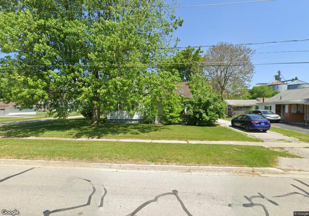
216 Macomber Ave Auburn, MI 48611
Estimated Value: $137,000 - $175,000
3
Beds
1
Bath
818
Sq Ft
$193/Sq Ft
Est. Value
About This Home
This home is located at 216 Macomber Ave, Auburn, MI 48611 and is currently estimated at $158,220, approximately $193 per square foot. 216 Macomber Ave is a home located in Bay County with nearby schools including Auburn Elementary School, Western Middle School, and Bay City Western High School.
Ownership History
Date
Name
Owned For
Owner Type
Purchase Details
Closed on
Jun 22, 2007
Sold by
Mccue Maureen L
Bought by
Deutsche Bank National Trust Co
Current Estimated Value
Purchase Details
Closed on
Jul 27, 2004
Sold by
Arnold Amy and Beson Ron
Bought by
Mccue Maureen L
Home Financials for this Owner
Home Financials are based on the most recent Mortgage that was taken out on this home.
Original Mortgage
$57,600
Interest Rate
10.5%
Mortgage Type
Purchase Money Mortgage
Create a Home Valuation Report for This Property
The Home Valuation Report is an in-depth analysis detailing your home's value as well as a comparison with similar homes in the area
Home Values in the Area
Average Home Value in this Area
Purchase History
| Date | Buyer | Sale Price | Title Company |
|---|---|---|---|
| Deutsche Bank National Trust Co | $65,789 | None Available | |
| Mccue Maureen L | $67,840 | Fatic |
Source: Public Records
Mortgage History
| Date | Status | Borrower | Loan Amount |
|---|---|---|---|
| Previous Owner | Mccue Maureen L | $57,600 |
Source: Public Records
Tax History
| Year | Tax Paid | Tax Assessment Tax Assessment Total Assessment is a certain percentage of the fair market value that is determined by local assessors to be the total taxable value of land and additions on the property. | Land | Improvement |
|---|---|---|---|---|
| 2025 | $1,373 | $59,000 | $0 | $0 |
| 2024 | $1,333 | $52,000 | $0 | $0 |
| 2023 | $1,269 | $49,000 | $0 | $0 |
| 2022 | $1,532 | $44,000 | $0 | $0 |
| 2021 | $1,441 | $40,700 | $40,700 | $0 |
| 2020 | $1,352 | $34,500 | $34,500 | $0 |
| 2019 | $1,308 | $34,100 | $0 | $0 |
| 2018 | $1,274 | $30,500 | $0 | $0 |
| 2017 | $1,258 | $29,500 | $0 | $0 |
| 2016 | $1,136 | $28,700 | $0 | $28,700 |
| 2015 | -- | $29,800 | $0 | $29,800 |
| 2014 | -- | $29,000 | $0 | $29,000 |
Source: Public Records
Map
Nearby Homes
- 201 Grant St
- 203 Park Ave
- 710 W North Union Rd
- 319 Price St
- 0 S Auburn Rd
- 267 W Midland Rd
- 0 W North Union Rd Unit 50166876
- 4760 Putt Ln
- 4648 Meadow Ct
- 1365 W North Union Rd
- 1415 W North Union Rd
- 0 Court St
- Parcel D W North Union Rd
- Parcel E W North Union Rd
- Parcel G W North Union Rd
- Parcel H W North Union Rd
- Parcel I W North Union Rd
- Parcel F W North Union Rd
- 0 S 8 Mile Unit 50196502
- 1598 Fisherville Ct
- 214 Macomber Ave
- 221 Grant St
- 219 Grant St
- 210 Macomber Ave
- 211 Grant St
- 300 Macomber Ave
- 301 Grant St
- 301 Macomber Ave
- 217 Macomber Ave
- 218 Grant St
- 215 Macomber Ave
- 319 Macomber Ave
- 209 Grant St
- 302 Macomber Ave
- 305 Grant St
- 209 Macomber Ave
- 224 Grant St
- 220 Grant St
- 303 Macomber Ave
- 303 Widmer Ct
Your Personal Tour Guide
Ask me questions while you tour the home.