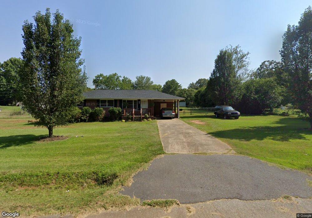
216 Poplar Ln Anderson, SC 29624
Estimated Value: $151,321 - $195,000
3
Beds
--
Bath
1,048
Sq Ft
$165/Sq Ft
Est. Value
About This Home
This home is located at 216 Poplar Ln, Anderson, SC 29624 and is currently estimated at $172,580, approximately $164 per square foot. 216 Poplar Ln is a home located in Anderson County with nearby schools including Varennes Elementary School, Robert Anderson Middle School, and Westside High School.
Ownership History
Date
Name
Owned For
Owner Type
Purchase Details
Closed on
Jun 28, 2015
Sold by
Breland Bryant
Bought by
Breland Bryant and Breland Diane
Current Estimated Value
Create a Home Valuation Report for This Property
The Home Valuation Report is an in-depth analysis detailing your home's value as well as a comparison with similar homes in the area
Home Values in the Area
Average Home Value in this Area
Purchase History
| Date | Buyer | Sale Price | Title Company |
|---|---|---|---|
| Breland Bryant | -- | None Available |
Source: Public Records
Tax History Compared to Growth
Tax History
| Year | Tax Paid | Tax Assessment Tax Assessment Total Assessment is a certain percentage of the fair market value that is determined by local assessors to be the total taxable value of land and additions on the property. | Land | Improvement |
|---|---|---|---|---|
| 2024 | $396 | $2,680 | $380 | $2,300 |
| 2023 | $394 | $2,680 | $380 | $2,300 |
| 2022 | $364 | $2,680 | $380 | $2,300 |
| 2021 | $333 | $2,270 | $240 | $2,030 |
| 2020 | $328 | $2,270 | $240 | $2,030 |
| 2019 | $328 | $2,270 | $240 | $2,030 |
| 2018 | $1,150 | $3,410 | $360 | $3,050 |
| 2017 | $336 | $3,410 | $360 | $3,050 |
| 2016 | $336 | $2,300 | $240 | $2,060 |
| 2015 | $341 | $2,300 | $240 | $2,060 |
| 2014 | $336 | $2,300 | $240 | $2,060 |
Source: Public Records
Map
Nearby Homes
- 133 Cedar Rd
- 231 Cloverhill Dr
- 216 Cloverhill Dr
- 144 Cloverhill Dr
- Lot 4C Kaye Dr
- ESSEX Plan at Creekside
- DUPONT Plan at Creekside
- 1123 Airline Rd
- 114 George Edward Dr
- 120 George Edward Dr
- 122 George Edward Dr
- 4101 Abbeville Hwy
- 209 Carswell Dr
- 213 Carswell Dr
- 499 Acker Rd
- Tract 3 Acker Rd
- 00 Clinkscales Rd
- 412 Airline Rd
- 623 Clinkscales Rd
- 126 Elrod Rd