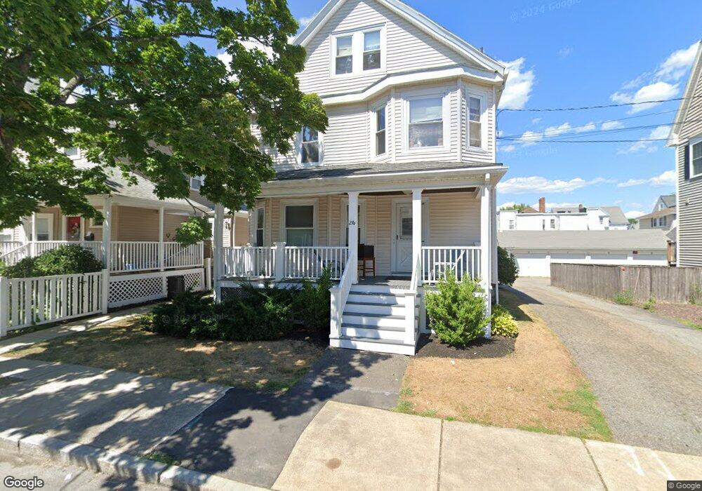
216 Robbins St Waltham, MA 02453
South Side NeighborhoodEstimated Value: $947,000 - $1,092,365
8
Beds
3
Baths
2,124
Sq Ft
$494/Sq Ft
Est. Value
About This Home
This home is located at 216 Robbins St, Waltham, MA 02453 and is currently estimated at $1,048,841, approximately $493 per square foot. 216 Robbins St is a home located in Middlesex County with nearby schools including Henry Whittemore Elementary School, John W. Mcdevitt Middle School, and Waltham Sr High School.
Ownership History
Date
Name
Owned For
Owner Type
Purchase Details
Closed on
Oct 31, 2019
Sold by
Briere John P
Bought by
216 Robbins Street Llc
Current Estimated Value
Purchase Details
Closed on
Jan 20, 1981
Bought by
Santolucito Thomas M and Santolucito Gisele M
Create a Home Valuation Report for This Property
The Home Valuation Report is an in-depth analysis detailing your home's value as well as a comparison with similar homes in the area
Home Values in the Area
Average Home Value in this Area
Purchase History
We collect this data history from publicly available records. To have your information removed, we recommend requesting removal directly through your county’s website.
| Date | Buyer | Sale Price | Title Company |
|---|---|---|---|
| 216 Robbins Street Llc | -- | -- | |
| Santolucito Thomas M | $65,000 | -- |
Source: Public Records
Tax History
| Year | Tax Paid | Tax Assessment Tax Assessment Total Assessment is a certain percentage of the fair market value that is determined by local assessors to be the total taxable value of land and additions on the property. | Land | Improvement |
|---|---|---|---|---|
| 2025 | $8,622 | $878,000 | $383,800 | $494,200 |
| 2024 | $8,074 | $837,500 | $383,800 | $453,700 |
| 2023 | $8,115 | $786,300 | $349,600 | $436,700 |
| 2022 | $8,220 | $737,900 | $319,200 | $418,700 |
| 2021 | $7,738 | $683,600 | $288,800 | $394,800 |
| 2020 | $7,342 | $614,400 | $273,600 | $340,800 |
| 2019 | $6,897 | $544,800 | $270,900 | $273,900 |
| 2018 | $6,248 | $495,500 | $250,800 | $244,700 |
| 2017 | $5,937 | $472,700 | $228,000 | $244,700 |
| 2016 | $5,460 | $446,100 | $201,400 | $244,700 |
| 2015 | $5,273 | $401,600 | $197,600 | $204,000 |
Source: Public Records
Map
Nearby Homes
- 215 Ash St Unit 3
- 138 Myrtle St Unit 2
- 233 Lowell St Unit 1
- 308 Newton St
- 308 Newton St Unit 1
- 62 Falmouth Rd
- 17 Washington Ave Unit 4
- 110 Falmouth Rd
- 270 Derby St
- 103 Cushing St Unit 4
- 11 Derby St
- 12 Sylvester Rd
- 46 Jerome Ave
- 61 Hall St Unit PH 18
- 227-229 Newton St
- 43 Hall St Unit 1
- 182 Adams Ave
- 76 Taft Ave
- 76 Taft Ave Unit 2
- 76 Taft Ave Unit 1
- 223 Brown St
- 221 Brown St Unit 2
- 221 Brown St Unit 223
- 221 Brown St Unit 1
- 217-219 Brown St Unit 3
- 217 Brown St Unit 219
- 389 Newton St Unit 391
- 385 Newton St Unit 387
- 387 Newton St Unit 387
- 387 Newton St Unit 1
- 385 Newton St Unit 385
- 385 Newton St Unit 1
- 213 Brown St
- 224 Brown St Unit 1
- 224 Brown St Unit 224
- 379 Newton St Unit 381
- 381 Newton St
- 379 Newton St Unit A
- 379 Newton St Unit 1
- 215 Brown St
Your Personal Tour Guide
Ask me questions while you tour the home.