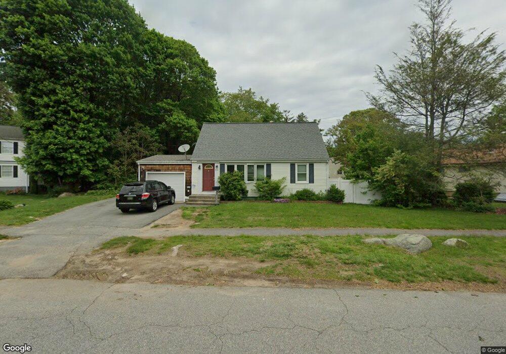
216 Shennecossett Rd Groton, CT 06340
Estimated Value: $109,621 - $348,000
3
Beds
2
Baths
1,165
Sq Ft
$242/Sq Ft
Est. Value
About This Home
This home is located at 216 Shennecossett Rd, Groton, CT 06340 and is currently estimated at $281,905, approximately $241 per square foot. 216 Shennecossett Rd is a home located in New London County with nearby schools including Catherine Kolnaski STEAM Magnet School, Groton Middle School, and Robert E. Fitch High School.
Ownership History
Date
Name
Owned For
Owner Type
Purchase Details
Closed on
Dec 30, 2024
Sold by
Wiemann Michael T
Bought by
Hanner Richard and Hanner Jennifer
Current Estimated Value
Purchase Details
Closed on
Jun 12, 1998
Sold by
Snyder Brian Keith and Snyder Tracy Lynne
Bought by
Wiemann Michael T
Home Financials for this Owner
Home Financials are based on the most recent Mortgage that was taken out on this home.
Original Mortgage
$112,050
Interest Rate
7.38%
Mortgage Type
VA
Purchase Details
Closed on
Sep 10, 1992
Sold by
Chacharis Theodore
Bought by
Snyder Brian
Home Financials for this Owner
Home Financials are based on the most recent Mortgage that was taken out on this home.
Original Mortgage
$86,500
Interest Rate
8%
Mortgage Type
Unknown
Create a Home Valuation Report for This Property
The Home Valuation Report is an in-depth analysis detailing your home's value as well as a comparison with similar homes in the area
Home Values in the Area
Average Home Value in this Area
Purchase History
| Date | Buyer | Sale Price | Title Company |
|---|---|---|---|
| Hanner Richard | $100,000 | None Available | |
| Hanner Richard | $100,000 | None Available | |
| Wiemann Michael T | $109,900 | -- | |
| Snyder Brian | $102,000 | -- | |
| Wiemann Michael T | $109,900 | -- | |
| Snyder Brian | $102,000 | -- |
Source: Public Records
Mortgage History
| Date | Status | Borrower | Loan Amount |
|---|---|---|---|
| Previous Owner | Snyder Brian | $140,000 | |
| Previous Owner | Snyder Brian | $112,050 | |
| Previous Owner | Snyder Brian | $86,500 |
Source: Public Records
Tax History Compared to Growth
Tax History
| Year | Tax Paid | Tax Assessment Tax Assessment Total Assessment is a certain percentage of the fair market value that is determined by local assessors to be the total taxable value of land and additions on the property. | Land | Improvement |
|---|---|---|---|---|
| 2025 | $4,122 | $142,590 | $82,418 | $60,172 |
| 2024 | $3,834 | $142,590 | $82,418 | $60,172 |
| 2023 | $3,679 | $142,590 | $56,630 | $85,960 |
| 2022 | $3,558 | $142,590 | $56,630 | $85,960 |
| 2021 | $3,319 | $109,620 | $36,750 | $72,870 |
| 2020 | $3,224 | $109,620 | $36,750 | $72,870 |
| 2019 | $3,121 | $109,620 | $36,750 | $72,870 |
| 2018 | $3,152 | $109,620 | $36,750 | $72,870 |
| 2017 | $3,163 | $109,620 | $36,750 | $72,870 |
| 2016 | $3,206 | $118,020 | $45,850 | $72,170 |
| 2015 | $3,165 | $118,020 | $45,850 | $72,170 |
| 2014 | $2,945 | $118,020 | $45,850 | $72,170 |
Source: Public Records
Map
Nearby Homes
- 42 Godfrey St
- 51 Warner St
- 55 Virginia Ave Unit C
- 520 Shennecossett Rd Unit J
- 41 Joe Ave
- 43 George Ave Unit B
- 33 George Ave Unit B
- 3 George Ave
- 74 Twin Hills Dr
- 119 High Rock Rd
- 63 Johl Dr
- 42 A St
- 181 Mirra Dr
- 146 Mirra Dr
- 760 Shennecossett Rd
- 53 Westwood Dr
- 88 Eastwood Rd
- 26 Bakers Cove Ln
- 222 Tyler Ave
- 14 Denison Ave
- 303 Brandegee Ave
- 317 Brandegee Ave
- 208 Shennecossett Rd
- 297 Brandegee Ave
- 202 Shennecossett Rd
- 13 Sutton Place
- 281 Brandegee Ave
- 1-6 Sutton Place
- 8 Sutton Place
- 20 Sutton Place Unit 19
- 20 Sutton Place
- 22 Sutton Place
- 203 Morse Ave
- 197 Morse Ave
- 211 Morse Ave
- 191 Morse Ave
- 185 Morse Ave
- 260 Shennecossett Rd
- 177 Morse Ave
- 300 Brandegee Ave