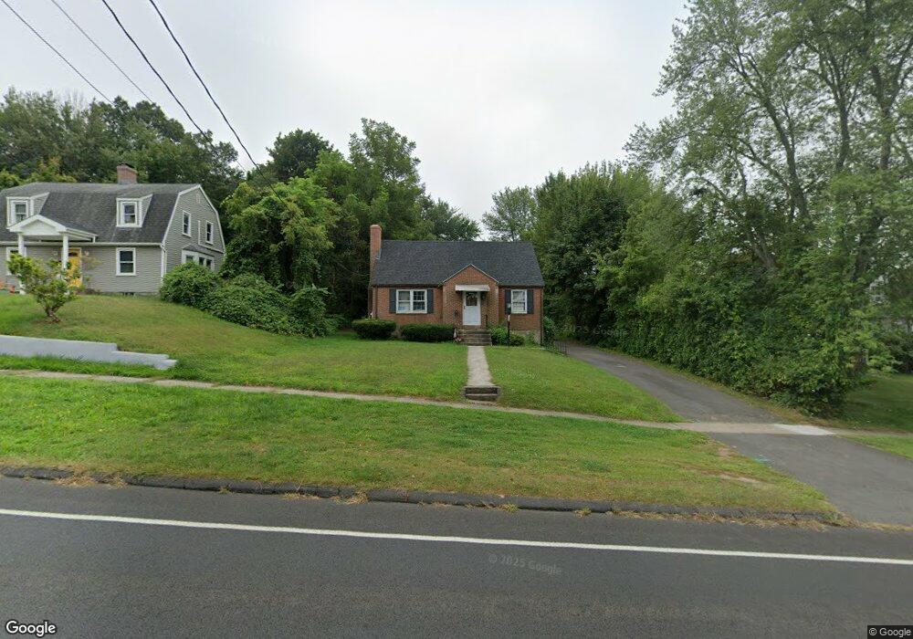
216 Wells Rd Wethersfield, CT 06109
Estimated Value: $363,000 - $506,574
3
Beds
2
Baths
1,297
Sq Ft
$315/Sq Ft
Est. Value
About This Home
This home is located at 216 Wells Rd, Wethersfield, CT 06109 and is currently estimated at $408,144, approximately $314 per square foot. 216 Wells Rd is a home located in Hartford County with nearby schools including Emerson-Williams School, Silas Deane Middle School, and Wethersfield High School.
Ownership History
Date
Name
Owned For
Owner Type
Purchase Details
Closed on
Mar 31, 2021
Sold by
Kucia Lisa T
Bought by
Iacolino Kevin J and Iacolino Jessica L
Current Estimated Value
Home Financials for this Owner
Home Financials are based on the most recent Mortgage that was taken out on this home.
Original Mortgage
$409,450
Outstanding Balance
$369,087
Interest Rate
2.9%
Mortgage Type
Purchase Money Mortgage
Estimated Equity
$39,057
Purchase Details
Closed on
Apr 7, 1992
Sold by
Mutchler Nancy C
Bought by
Amodio Francis J and Kuzma Joseph M
Home Financials for this Owner
Home Financials are based on the most recent Mortgage that was taken out on this home.
Original Mortgage
$105,000
Interest Rate
8.36%
Mortgage Type
Purchase Money Mortgage
Create a Home Valuation Report for This Property
The Home Valuation Report is an in-depth analysis detailing your home's value as well as a comparison with similar homes in the area
Home Values in the Area
Average Home Value in this Area
Purchase History
| Date | Buyer | Sale Price | Title Company |
|---|---|---|---|
| Iacolino Kevin J | $431,000 | None Available | |
| Amodio Francis J | $140,000 | -- |
Source: Public Records
Mortgage History
| Date | Status | Borrower | Loan Amount |
|---|---|---|---|
| Open | Iacolino Kevin J | $409,450 | |
| Previous Owner | Amodio Francis J | $105,000 |
Source: Public Records
Tax History
| Year | Tax Paid | Tax Assessment Tax Assessment Total Assessment is a certain percentage of the fair market value that is determined by local assessors to be the total taxable value of land and additions on the property. | Land | Improvement |
|---|---|---|---|---|
| 2025 | $8,921 | $216,430 | $91,920 | $124,510 |
| 2024 | $5,942 | $137,490 | $64,450 | $73,040 |
| 2023 | $5,744 | $137,490 | $64,450 | $73,040 |
| 2022 | $5,648 | $137,490 | $64,450 | $73,040 |
| 2021 | $5,592 | $137,490 | $64,450 | $73,040 |
| 2020 | $5,594 | $137,490 | $64,450 | $73,040 |
| 2019 | $5,601 | $137,490 | $64,450 | $73,040 |
| 2018 | $5,624 | $137,900 | $61,000 | $76,900 |
| 2017 | $5,484 | $137,900 | $61,000 | $76,900 |
| 2016 | $5,315 | $137,900 | $61,000 | $76,900 |
| 2015 | $5,266 | $137,900 | $61,000 | $76,900 |
| 2014 | $5,066 | $137,900 | $61,000 | $76,900 |
Source: Public Records
Map
Nearby Homes
- 35 Stillwold Dr
- 108 Chamberlain Rd
- 87 Somerset St
- 91 Somerset St
- 137 Dale Rd
- 131 Coleman Rd
- 38 Wheeler Rd
- 250 Edward St
- 147 Spring St
- 455 Brimfield Rd
- 764 Ridge Rd
- 192 Wolcott Hill Rd
- 89 Merriman Rd
- 1 Fernwood St
- 31 Ox Yoke Dr
- 195 Middletown Ave
- 317-319 Garden St
- 18 Avalon Place
- 20 Forest Dr
- 11 Charter Rd
Your Personal Tour Guide
Ask me questions while you tour the home.