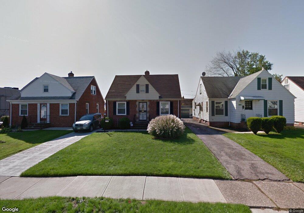
21602 Clare Ave Maple Heights, OH 44137
Estimated Value: $114,000 - $134,000
3
Beds
1
Bath
1,174
Sq Ft
$105/Sq Ft
Est. Value
About This Home
This home is located at 21602 Clare Ave, Maple Heights, OH 44137 and is currently estimated at $122,817, approximately $104 per square foot. 21602 Clare Ave is a home located in Cuyahoga County with nearby schools including Abraham Lincoln Elementary School, Rockside/ J.F. Kennedy School, and Barack Obama School.
Ownership History
Date
Name
Owned For
Owner Type
Purchase Details
Closed on
Jul 27, 1998
Sold by
Drotleff Catherine M and Drotleff Richard
Bought by
Parker Helen L
Current Estimated Value
Home Financials for this Owner
Home Financials are based on the most recent Mortgage that was taken out on this home.
Original Mortgage
$80,061
Outstanding Balance
$16,862
Interest Rate
7.03%
Mortgage Type
FHA
Estimated Equity
$105,955
Purchase Details
Closed on
Jun 19, 1985
Sold by
Drotleff Richard
Bought by
Drotleff Catherine M
Purchase Details
Closed on
Apr 3, 1985
Sold by
Drotleff Richard
Bought by
Drotleff Richard
Purchase Details
Closed on
Sep 25, 1980
Sold by
Masek Norma V
Bought by
Drotleff Richard
Purchase Details
Closed on
Aug 6, 1980
Sold by
Edwin Masek
Bought by
Masek Norma
Purchase Details
Closed on
Aug 22, 1975
Sold by
Masek Edwin and Masek Norma V
Bought by
Edwin Masek
Purchase Details
Closed on
Jan 1, 1975
Bought by
Masek Edwin and Masek Norma
Create a Home Valuation Report for This Property
The Home Valuation Report is an in-depth analysis detailing your home's value as well as a comparison with similar homes in the area
Home Values in the Area
Average Home Value in this Area
Purchase History
| Date | Buyer | Sale Price | Title Company |
|---|---|---|---|
| Parker Helen L | $79,900 | Transcounty Title Agency Inc | |
| Drotleff Catherine M | -- | -- | |
| Drotleff Richard | -- | -- | |
| Drotleff Richard | $44,000 | -- | |
| Masek Norma | -- | -- | |
| Edwin Masek | -- | -- | |
| Masek Edwin | -- | -- |
Source: Public Records
Mortgage History
| Date | Status | Borrower | Loan Amount |
|---|---|---|---|
| Open | Parker Helen L | $80,061 |
Source: Public Records
Tax History
| Year | Tax Paid | Tax Assessment Tax Assessment Total Assessment is a certain percentage of the fair market value that is determined by local assessors to be the total taxable value of land and additions on the property. | Land | Improvement |
|---|---|---|---|---|
| 2024 | $2,056 | $32,305 | $6,720 | $25,585 |
| 2023 | $1,255 | $20,270 | $4,060 | $16,210 |
| 2022 | $1,289 | $20,270 | $4,060 | $16,210 |
| 2021 | $1,369 | $20,270 | $4,060 | $16,210 |
| 2020 | $956 | $15,370 | $3,080 | $12,290 |
| 2019 | $945 | $43,900 | $8,800 | $35,100 |
| 2018 | $843 | $15,370 | $3,080 | $12,290 |
| 2017 | $816 | $14,110 | $2,870 | $11,240 |
| 2016 | $785 | $14,110 | $2,870 | $11,240 |
| 2015 | $857 | $14,110 | $2,870 | $11,240 |
| 2014 | $857 | $15,510 | $3,150 | $12,360 |
Source: Public Records
Map
Nearby Homes
- 21600 Franklin Rd
- 21860 Louis Rd
- 21607 Libby Rd
- 21202 Hillgrove Ave
- 21207 Franklin Rd
- 21202 Gardenview Dr
- 20905 Clare Ave
- 20806 Clare Ave
- 5301 Mardale Ave
- 20715 Watson Rd
- 20517 Raymond St
- 20705 Hansen Rd
- 5147 Warrensville Center Rd
- 20600 Watson Rd
- 0 Miles Rd Unit 5188561
- 5424 Fairtree Rd
- 19931 Raymond St
- 5385 Bartlett Rd
- 20648 Donny Brook Rd
- 5437 Bartlett Rd
- 21518 Clare Ave
- 21606 Clare Ave
- 21514 Clare Ave
- 21510 Clare Ave
- 21603 Clare Ave
- 21519 Clare Ave
- 21707 Clare Ave
- 21603 Kenyon Dr
- 21519 Kenyon Dr
- 21607 Kenyon Dr
- 21515 Clare Ave
- 21506 Clare Ave
- 5180 Northfield Rd
- 21515 Kenyon Dr
- 21511 Clare Ave
- 21511 Kenyon Dr
- 21502 Clare Ave
- 21507 Kenyon Dr
- 21418 Clare Ave
- 21501 Clare Ave
Your Personal Tour Guide
Ask me questions while you tour the home.