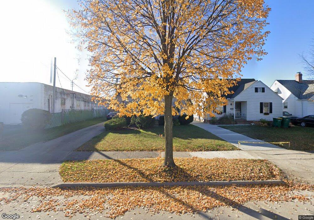
21606 Kenyon Dr Maple Heights, OH 44137
Estimated Value: $115,000 - $120,000
3
Beds
1
Bath
1,070
Sq Ft
$110/Sq Ft
Est. Value
About This Home
This home is located at 21606 Kenyon Dr, Maple Heights, OH 44137 and is currently estimated at $117,454, approximately $109 per square foot. 21606 Kenyon Dr is a home located in Cuyahoga County with nearby schools including Abraham Lincoln Elementary School, Rockside/ J.F. Kennedy School, and Barack Obama School.
Ownership History
Date
Name
Owned For
Owner Type
Purchase Details
Closed on
Aug 6, 1991
Sold by
Bukas Paul K
Bought by
Flanagan Jerome
Current Estimated Value
Purchase Details
Closed on
Mar 29, 1977
Sold by
Sutliff Edw A and Sutliff Dorothy E
Bought by
Sutliff Edward A
Purchase Details
Closed on
Jan 1, 1975
Bought by
Sutliff Edw A and Sutliff Dorothy E
Create a Home Valuation Report for This Property
The Home Valuation Report is an in-depth analysis detailing your home's value as well as a comparison with similar homes in the area
Home Values in the Area
Average Home Value in this Area
Purchase History
| Date | Buyer | Sale Price | Title Company |
|---|---|---|---|
| Flanagan Jerome | $56,000 | -- | |
| Sutliff Edward A | -- | -- | |
| Sutliff Edw A | -- | -- |
Source: Public Records
Tax History
| Year | Tax Paid | Tax Assessment Tax Assessment Total Assessment is a certain percentage of the fair market value that is determined by local assessors to be the total taxable value of land and additions on the property. | Land | Improvement |
|---|---|---|---|---|
| 2024 | $3,123 | $34,125 | $6,650 | $27,475 |
| 2023 | $2,037 | $18,210 | $4,030 | $14,180 |
| 2022 | $2,030 | $18,200 | $4,030 | $14,180 |
| 2021 | $2,158 | $18,200 | $4,030 | $14,180 |
| 2020 | $1,858 | $13,790 | $3,050 | $10,750 |
| 2019 | $1,844 | $39,400 | $8,700 | $30,700 |
| 2018 | $1,730 | $13,790 | $3,050 | $10,750 |
| 2017 | $1,764 | $12,850 | $2,840 | $10,010 |
| 2016 | $1,705 | $12,850 | $2,840 | $10,010 |
| 2015 | $1,692 | $12,850 | $2,840 | $10,010 |
| 2014 | $1,692 | $14,110 | $3,120 | $10,990 |
Source: Public Records
Map
Nearby Homes
- 21607 Libby Rd
- 21202 Gardenview Dr
- 21860 Louis Rd
- 21600 Franklin Rd
- 21202 Hillgrove Ave
- 21207 Franklin Rd
- 20905 Clare Ave
- 20806 Clare Ave
- 20715 Watson Rd
- 5147 Warrensville Center Rd
- 20517 Raymond St
- 20600 Watson Rd
- 5424 Fairtree Rd
- 20705 Hansen Rd
- 20648 Donny Brook Rd
- 5385 Bartlett Rd
- 0 Miles Rd Unit 5188561
- 19931 Raymond St
- 19289 Stafford Ave
- 19520 Maple Heights Blvd
- 21602 Kenyon Dr
- 21518 Kenyon Dr
- 21605 Gardenview Dr
- 21514 Kenyon Dr
- 21601 Gardenview Dr
- 21517 Gardenview Dr
- 5250 Northfield Rd
- 21607 Kenyon Dr
- 21513 Gardenview Dr
- 21513 Gardenview 3afb
- 21603 Kenyon Dr
- 21519 Kenyon Dr
- 21509 Gardenview Dr
- 21506 Kenyon Dr
- 21515 Kenyon Dr
- 21505 Gardenview Dr
- 21511 Kenyon Dr
- 21502 Kenyon Dr
- 21507 Kenyon Dr
- 21501 Gardenview Dr
Your Personal Tour Guide
Ask me questions while you tour the home.