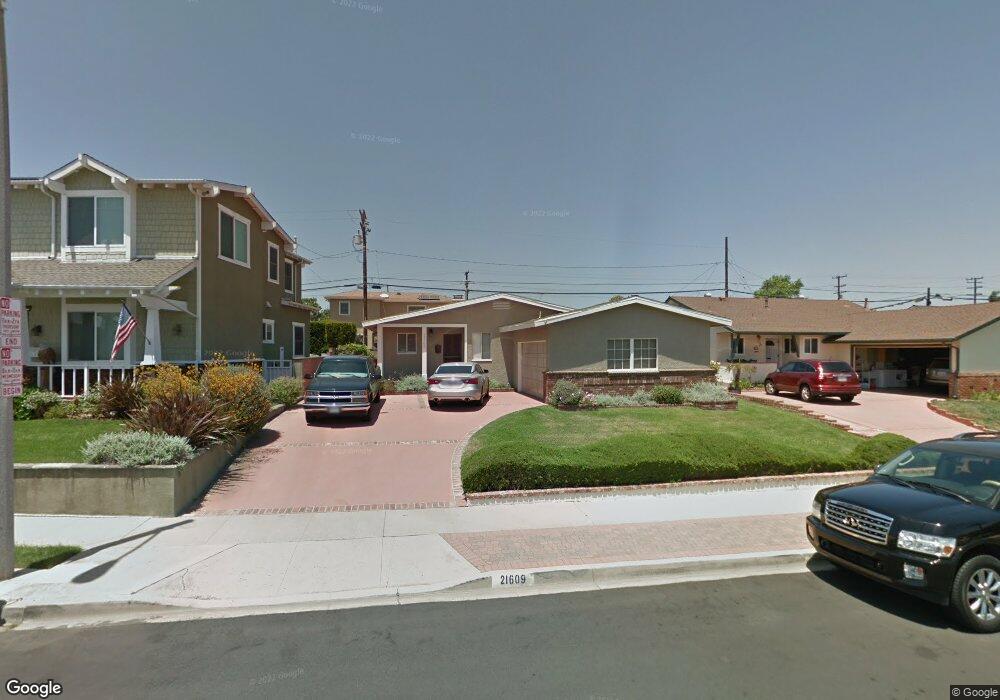
21609 Paul Ave Torrance, CA 90503
Southwood NeighborhoodEstimated Value: $1,344,925 - $1,598,000
3
Beds
2
Baths
1,612
Sq Ft
$877/Sq Ft
Est. Value
About This Home
This home is located at 21609 Paul Ave, Torrance, CA 90503 and is currently estimated at $1,414,481, approximately $877 per square foot. 21609 Paul Ave is a home located in Los Angeles County with nearby schools including Anza Elementary School, Jefferson Middle School, and West High School.
Ownership History
Date
Name
Owned For
Owner Type
Purchase Details
Closed on
Aug 15, 2003
Sold by
Petty Terry D and Petty Pamela Petrill
Bought by
Petty Terry Dale
Current Estimated Value
Purchase Details
Closed on
Feb 12, 2001
Sold by
Handsaker Thomas E and Handsaker Karin E
Bought by
Petty Terry D
Home Financials for this Owner
Home Financials are based on the most recent Mortgage that was taken out on this home.
Original Mortgage
$205,000
Outstanding Balance
$73,439
Interest Rate
6.97%
Estimated Equity
$1,341,042
Create a Home Valuation Report for This Property
The Home Valuation Report is an in-depth analysis detailing your home's value as well as a comparison with similar homes in the area
Home Values in the Area
Average Home Value in this Area
Purchase History
| Date | Buyer | Sale Price | Title Company |
|---|---|---|---|
| Petty Terry Dale | -- | -- | |
| Petty Terry D | $420,000 | Lawyers Title Company |
Source: Public Records
Mortgage History
| Date | Status | Borrower | Loan Amount |
|---|---|---|---|
| Open | Petty Terry D | $205,000 |
Source: Public Records
Tax History Compared to Growth
Tax History
| Year | Tax Paid | Tax Assessment Tax Assessment Total Assessment is a certain percentage of the fair market value that is determined by local assessors to be the total taxable value of land and additions on the property. | Land | Improvement |
|---|---|---|---|---|
| 2025 | $7,342 | $632,852 | $490,471 | $142,381 |
| 2024 | $7,342 | $620,444 | $480,854 | $139,590 |
| 2023 | $7,210 | $608,279 | $471,426 | $136,853 |
| 2022 | $7,114 | $596,353 | $462,183 | $134,170 |
| 2021 | $6,984 | $584,661 | $453,121 | $131,540 |
| 2019 | $6,784 | $567,322 | $439,682 | $127,640 |
| 2018 | $6,531 | $556,199 | $431,061 | $125,138 |
| 2016 | $6,239 | $534,603 | $414,323 | $120,280 |
| 2015 | $6,104 | $526,574 | $408,100 | $118,474 |
| 2014 | $5,947 | $516,260 | $400,106 | $116,154 |
Source: Public Records
Map
Nearby Homes
- 21513 Palos Verdes Blvd
- 1108 Camino Real Unit 407
- 1108 Camino Real Unit 409
- 1108 Camino Real Unit 306
- 1200 Opal St Unit 7
- 1200 Opal St Unit 22
- 603 S Prospect Ave Unit 305
- 603 S Prospect Ave Unit 205
- 635 S Prospect Ave Unit 102
- 641 S Prospect Ave Unit 103
- 635 S Prospect Ave Unit 103
- 810 Camino Real Unit 104
- 4830 Maricopa St
- 4826 Maricopa St
- 904 Knob Hill Ave
- 4814 Asteria St
- 318 S Lucia Ave
- 1003 S Prospect Ave
- 1007 S Prospect Ave
- 1011 S Prospect Ave
- 21605 Paul Ave
- 21613 Paul Ave
- 21610 Palos Verdes Blvd
- 21606 Palos Verdes Blvd
- 21601 Paul Ave
- 21614 Palos Verdes Blvd
- 21617 Paul Ave
- 21602 Palos Verdes Blvd
- 21610 Paul Ave
- 21606 Paul Ave
- 21614 Paul Ave
- 21618 Palos Verdes Blvd
- 21602 Paul Ave
- 5218 Carmen St
- 21622 Palos Verdes Blvd
- 5214 Carmen St
- 5207 Carmen St
- 5206 Lenore St
- 5210 Carmen St
- 5223 Lenore St