2161 Caneridge Dr SW Unit II Marietta, GA 30064
Estimated Value: $432,809 - $460,000
4
Beds
3
Baths
2,012
Sq Ft
$220/Sq Ft
Est. Value
About This Home
This home is located at 2161 Caneridge Dr SW Unit II, Marietta, GA 30064 and is currently estimated at $441,702, approximately $219 per square foot. 2161 Caneridge Dr SW Unit II is a home located in Cobb County with nearby schools including Dowell Elementary School, Lovinggood Middle School, and Hillgrove High School.
Ownership History
Date
Name
Owned For
Owner Type
Purchase Details
Closed on
Sep 12, 2001
Sold by
Love Stanley
Bought by
Love Stanley and Love Carolina
Current Estimated Value
Home Financials for this Owner
Home Financials are based on the most recent Mortgage that was taken out on this home.
Original Mortgage
$174,884
Outstanding Balance
$67,331
Interest Rate
6.97%
Mortgage Type
FHA
Estimated Equity
$374,371
Create a Home Valuation Report for This Property
The Home Valuation Report is an in-depth analysis detailing your home's value as well as a comparison with similar homes in the area
Home Values in the Area
Average Home Value in this Area
Purchase History
| Date | Buyer | Sale Price | Title Company |
|---|---|---|---|
| Love Stanley | -- | -- | |
| Love Stanley | $176,400 | -- |
Source: Public Records
Mortgage History
| Date | Status | Borrower | Loan Amount |
|---|---|---|---|
| Open | Love Stanley | $174,884 |
Source: Public Records
Tax History Compared to Growth
Tax History
| Year | Tax Paid | Tax Assessment Tax Assessment Total Assessment is a certain percentage of the fair market value that is determined by local assessors to be the total taxable value of land and additions on the property. | Land | Improvement |
|---|---|---|---|---|
| 2025 | $3,512 | $148,532 | $16,000 | $132,532 |
| 2024 | $3,515 | $148,532 | $16,000 | $132,532 |
| 2023 | $2,973 | $148,532 | $16,000 | $132,532 |
| 2022 | $2,970 | $122,340 | $16,000 | $106,340 |
| 2021 | $2,464 | $99,212 | $14,000 | $85,212 |
| 2020 | $2,393 | $95,968 | $14,000 | $81,968 |
| 2019 | $2,152 | $85,000 | $14,000 | $71,000 |
| 2018 | $2,152 | $85,000 | $14,000 | $71,000 |
| 2017 | $1,820 | $73,908 | $14,000 | $59,908 |
| 2016 | $1,714 | $69,016 | $14,000 | $55,016 |
| 2015 | $1,548 | $61,376 | $14,100 | $47,276 |
| 2014 | $1,561 | $61,376 | $0 | $0 |
Source: Public Records
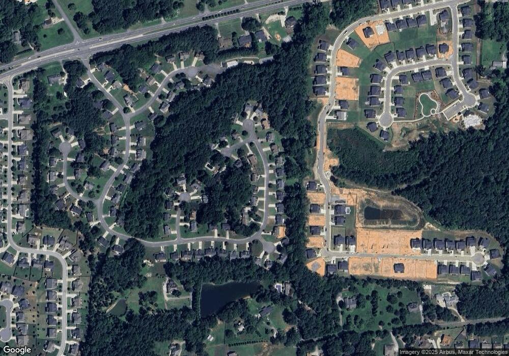
Map
Nearby Homes
- 2040 Freestone Way
- 2146 Caneridge Dr SW
- 2117 Caneridge Dr SW
- 2409 Caneridge Point SW
- 2009 Freestone Way
- 2126 Green Dr SW
- 1985 Freestone Way
- Monteluce Plan at Freestone Station
- Hillside Plan at Freestone Station
- Oakshire Plan at Freestone Station
- Hendricks Plan at Freestone Station
- Hedgerow Plan at Freestone Station
- Antioch Plan at Freestone Station
- 1976 Grove Field Ln
- 1976 Grove Field Ln Unit BLDG 33
- 1952 Freestone Way
- 2268 Grove Valley Way Unit 9
- 2028 MacLand Square Dr Unit 4
- 2166 Derbyshire Dr SW
- 1946 MacLand Rd SW
- 2159 Caneridge Dr SW
- 2391 Caneridge Way SW Unit 2
- 2393 Caneridge Way SW
- 2157 Caneridge Dr SW
- 2162 Caneridge Dr SW
- 2158 Caneridge Dr SW
- 2160 Caneridge Dr SW
- 2166 Caneridge Dr SW
- 2395 Caneridge Way SW Unit 2
- 2398 Caneridge Way SW
- 2168 Caneridge Dr SW
- 2147 Caneridge Dr SW
- 2253 Caneridge Trail SW
- 2390 Caneridge Way SW
- 2390 Caneridge Way SW
- 2154 Caneridge Dr SW
- 2170 Caneridge Dr SW
- 2251 Caneridge Trail SW Unit 2
- 2143 Caneridge Dr SW Unit 2
- 2152 Caneridge Dr SW