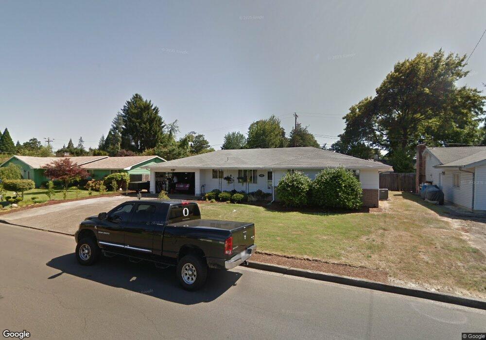
2161 Grove St Eugene, OR 97404
River Road NeighborhoodEstimated Value: $434,000 - $477,000
3
Beds
2
Baths
1,742
Sq Ft
$261/Sq Ft
Est. Value
About This Home
This home is located at 2161 Grove St, Eugene, OR 97404 and is currently estimated at $454,483, approximately $260 per square foot. 2161 Grove St is a home located in Lane County with nearby schools including Howard Elementary School, Kelly Middle School, and North Eugene High School.
Ownership History
Date
Name
Owned For
Owner Type
Purchase Details
Closed on
Jun 11, 2009
Sold by
Gosser Melvin T and Gosser Nina R
Bought by
Graham Jennifer L and Wilcox John A
Current Estimated Value
Home Financials for this Owner
Home Financials are based on the most recent Mortgage that was taken out on this home.
Original Mortgage
$223,378
Outstanding Balance
$138,614
Interest Rate
4.76%
Mortgage Type
FHA
Estimated Equity
$315,869
Create a Home Valuation Report for This Property
The Home Valuation Report is an in-depth analysis detailing your home's value as well as a comparison with similar homes in the area
Home Values in the Area
Average Home Value in this Area
Purchase History
| Date | Buyer | Sale Price | Title Company |
|---|---|---|---|
| Graham Jennifer L | $227,500 | Cascade Title Co |
Source: Public Records
Mortgage History
| Date | Status | Borrower | Loan Amount |
|---|---|---|---|
| Open | Graham Jennifer L | $223,378 |
Source: Public Records
Tax History
| Year | Tax Paid | Tax Assessment Tax Assessment Total Assessment is a certain percentage of the fair market value that is determined by local assessors to be the total taxable value of land and additions on the property. | Land | Improvement |
|---|---|---|---|---|
| 2025 | $4,343 | $266,066 | -- | -- |
| 2024 | $4,299 | $258,317 | -- | -- |
| 2023 | $4,299 | $250,794 | -- | -- |
| 2022 | $4,042 | $243,490 | $0 | $0 |
| 2021 | $3,755 | $236,399 | $0 | $0 |
| 2020 | $3,692 | $229,514 | $0 | $0 |
| 2019 | $3,536 | $222,830 | $0 | $0 |
| 2018 | $3,257 | $210,039 | $0 | $0 |
| 2017 | $3,043 | $210,039 | $0 | $0 |
| 2016 | $2,868 | $203,921 | $0 | $0 |
| 2015 | $2,796 | $197,982 | $0 | $0 |
| 2014 | $2,719 | $192,216 | $0 | $0 |
Source: Public Records
Map
Nearby Homes
- 401 Sterling Dr
- 303 Lenore Loop
- 2439 Quince St
- 541 Durham Ave
- 193 Santa Clara Ave
- 1880 Manihi Dr
- 215 Jonquil Ave
- 1755 Brentwood Ave
- 2563 York St
- 200 Irving Rd
- 349 Irving Rd
- 1682 Hemlock St
- 389 Maxwell Rd
- 2721 La Darrah St
- 1566 Maywood Ave
- 805 Impala Ave
- 190 Hunsaker Ln
- 2640 Green Villa Ln
- 1307 Bramblewood Ln
- 2418 Kalmia St
Your Personal Tour Guide
Ask me questions while you tour the home.