21618 State Route 92 Kearney, MO 64060
Estimated Value: $417,000 - $698,860
3
Beds
3
Baths
1,623
Sq Ft
$309/Sq Ft
Est. Value
About This Home
This home is located at 21618 State Route 92, Kearney, MO 64060 and is currently estimated at $502,215, approximately $309 per square foot. 21618 State Route 92 is a home located in Clay County with nearby schools including Kearney Junior High School and Kearney High School.
Ownership History
Date
Name
Owned For
Owner Type
Purchase Details
Closed on
Sep 29, 2005
Sold by
Clay County Highway Department
Bought by
State Of Missouri and Missouri Highways & Transportation Commi
Current Estimated Value
Purchase Details
Closed on
Feb 25, 2005
Sold by
Torres Michael R and Torres Micki G
Bought by
State Of Missouri and Missouri Highways & Transportation Commi
Create a Home Valuation Report for This Property
The Home Valuation Report is an in-depth analysis detailing your home's value as well as a comparison with similar homes in the area
Home Values in the Area
Average Home Value in this Area
Purchase History
| Date | Buyer | Sale Price | Title Company |
|---|---|---|---|
| State Of Missouri | -- | -- | |
| State Of Missouri | $82,225 | Multiple |
Source: Public Records
Tax History Compared to Growth
Tax History
| Year | Tax Paid | Tax Assessment Tax Assessment Total Assessment is a certain percentage of the fair market value that is determined by local assessors to be the total taxable value of land and additions on the property. | Land | Improvement |
|---|---|---|---|---|
| 2025 | $4,371 | $77,370 | -- | -- |
| 2024 | $4,371 | $69,080 | -- | -- |
| 2023 | $4,354 | $69,080 | $0 | $0 |
| 2022 | $4,107 | $63,100 | $0 | $0 |
| 2021 | $4,019 | $63,099 | $12,103 | $50,996 |
| 2020 | $4,083 | $58,240 | $0 | $0 |
| 2019 | $4,059 | $58,235 | $17,100 | $41,135 |
| 2018 | $4,443 | $61,600 | $0 | $0 |
| 2017 | $4,390 | $61,600 | $23,280 | $38,320 |
| 2016 | $4,390 | $61,600 | $23,280 | $38,320 |
| 2015 | $4,390 | $61,600 | $23,280 | $38,320 |
| 2014 | $4,291 | $59,890 | $23,280 | $36,610 |
Source: Public Records
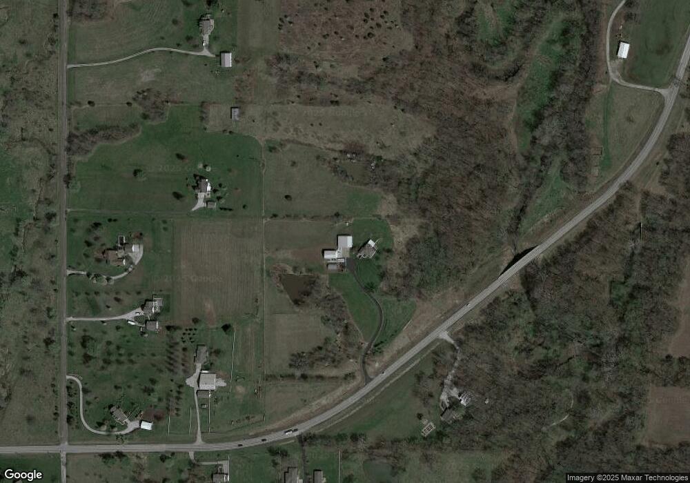
Map
Nearby Homes
- 21619 NE 150th St
- 15617 Oakmont Dr
- 15025 Jesse James Farm Rd
- 1210 E 15th St
- 1610 Renea Ct
- 1300 Melissa Ct
- 1812 Lauren Ln
- 1043 E 14th St
- 1302 Melissa Ct
- 16115 Kountry Ridge Dr
- 16211 Dr
- 1710 Clear Creek Dr
- 1307 Stonecrest Dr
- 804 Southbrook Pkwy
- 808 E 16th St
- 1204 Susan St
- 817 Porter Ridge Rd
- 1205 Noah's Ln
- 1207 Noah's Ln
- 1209 Noah's Ln
- 15303 Cordell Rd
- 21220 State Route 92
- 21619 State Route 92
- 15221 Cordell Rd
- 15301 Cordell Rd
- 21419 State Route 92
- 21411 State Route 92
- 15415 Cordell Rd
- 21225 State Route 92
- 15209 Cordell Rd
- 21814 State Route 92
- 15523 Cordell Rd
- 15126 Cordell Rd
- 15575 Cordell Rd
- 15110 Cordell Rd
- 15615 Cordell Rd
- 15109 Cordell Rd
- 21005 State Route 92
- 21226 NE 150th St
- 21610 NE 150th St