2162 Pratt Hwy Birmingham, AL 35214
Forestdale NeighborhoodEstimated Value: $133,000 - $159,000
5
Beds
2
Baths
1,106
Sq Ft
$132/Sq Ft
Est. Value
About This Home
This home is located at 2162 Pratt Hwy, Birmingham, AL 35214 and is currently estimated at $145,928, approximately $131 per square foot. 2162 Pratt Hwy is a home located in Jefferson County with nearby schools including Minor Middle School, Minor High School, and Gloryland Christian Academy.
Ownership History
Date
Name
Owned For
Owner Type
Purchase Details
Closed on
Nov 30, 2011
Sold by
Buxton Michael A
Bought by
Jones Michael
Current Estimated Value
Home Financials for this Owner
Home Financials are based on the most recent Mortgage that was taken out on this home.
Original Mortgage
$2,997
Outstanding Balance
$2,055
Interest Rate
4.06%
Mortgage Type
Commercial
Estimated Equity
$143,873
Purchase Details
Closed on
Jan 26, 2004
Sold by
Buxton Michael A and Buxton Denise D
Bought by
Buxton Michael A and Buxton Denise D
Home Financials for this Owner
Home Financials are based on the most recent Mortgage that was taken out on this home.
Original Mortgage
$83,700
Interest Rate
5.77%
Mortgage Type
New Conventional
Purchase Details
Closed on
Sep 16, 1998
Sold by
Hfta Second Corp
Bought by
Buxton Michael A
Create a Home Valuation Report for This Property
The Home Valuation Report is an in-depth analysis detailing your home's value as well as a comparison with similar homes in the area
Home Values in the Area
Average Home Value in this Area
Purchase History
| Date | Buyer | Sale Price | Title Company |
|---|---|---|---|
| Jones Michael | $99,900 | -- | |
| Buxton Michael A | $500 | -- | |
| Buxton Michael A | $50,000 | -- |
Source: Public Records
Mortgage History
| Date | Status | Borrower | Loan Amount |
|---|---|---|---|
| Open | Jones Michael | $2,997 | |
| Open | Jones Michael | $97,367 | |
| Previous Owner | Buxton Michael A | $83,700 |
Source: Public Records
Tax History Compared to Growth
Tax History
| Year | Tax Paid | Tax Assessment Tax Assessment Total Assessment is a certain percentage of the fair market value that is determined by local assessors to be the total taxable value of land and additions on the property. | Land | Improvement |
|---|---|---|---|---|
| 2024 | $515 | $11,340 | -- | -- |
| 2023 | $321 | $11,340 | $1,710 | $9,630 |
| 2022 | $381 | $8,660 | $1,710 | $6,950 |
| 2021 | $381 | $8,660 | $1,710 | $6,950 |
| 2020 | $381 | $8,660 | $1,710 | $6,950 |
| 2019 | $381 | $8,660 | $0 | $0 |
| 2018 | $397 | $8,980 | $0 | $0 |
| 2017 | $397 | $8,980 | $0 | $0 |
| 2016 | $397 | $8,980 | $0 | $0 |
| 2015 | $397 | $8,980 | $0 | $0 |
| 2014 | $395 | $8,840 | $0 | $0 |
| 2013 | $395 | $8,840 | $0 | $0 |
Source: Public Records
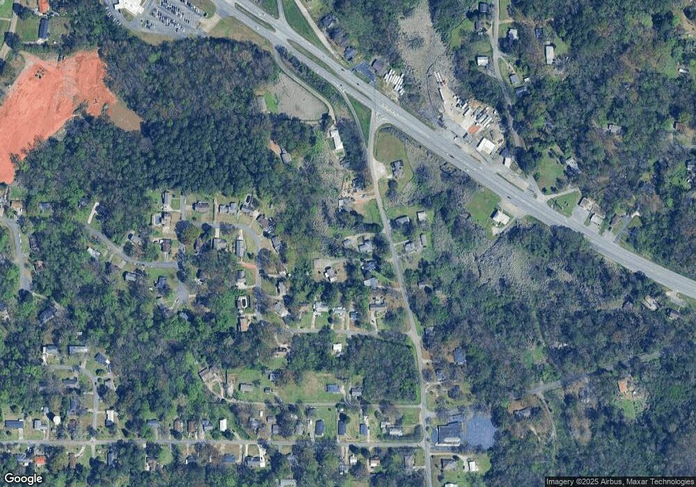
Map
Nearby Homes
- 229 Varden Hill Dr
- 228 Gober Dr
- 2021 Hanchey Rd
- 2057 Forestdale Blvd
- 448 Laurie Dr
- Arizona Plan at Pershing Place Community
- California Plan at Pershing Place Community
- Colorado Plan at Pershing Place Community
- Alabama Plan at Pershing Place Community
- 2357 Pershing Place Loop
- 2353 Pershing Place Loop
- 2352 Pershing Place Loop
- 2361 Pershing Place Loop
- 2108 Maywood Dr
- 305 Dunbar Ct Unit 15.000
- 2132 Arcadia Rd
- 2012 Arcadia Rd
- 2133 Arcadia Rd
- 539 Crumly Chapel Rd
- 429 Lemuel Dr
- 2168 Pratt Hwy
- 2156 Pratt Hwy
- 2152 Pratt Hwy
- 2148 Pratt Hwy
- 312 Varden Hill Dr
- 2176 Pratt Hwy
- 220 Varden Hill Dr
- 308 Varden Hill Dr
- 216 Varden Hill Dr
- 228 Varden Hill Dr
- 2153 Pratt Hwy
- 2165 Pratt Hwy
- 232 Varden Hill Dr
- 304 Varden Hill Dr
- 2140 Pratt Hwy
- 316 Varden Hill Dr
- 2131 Pratt Hwy
- 300 Varden Hill Dr
- 201 Bates Dr
- 2177 Pratt Hwy