Estimated Value: $413,275 - $599,000
2
Beds
1
Bath
480
Sq Ft
$969/Sq Ft
Est. Value
About This Home
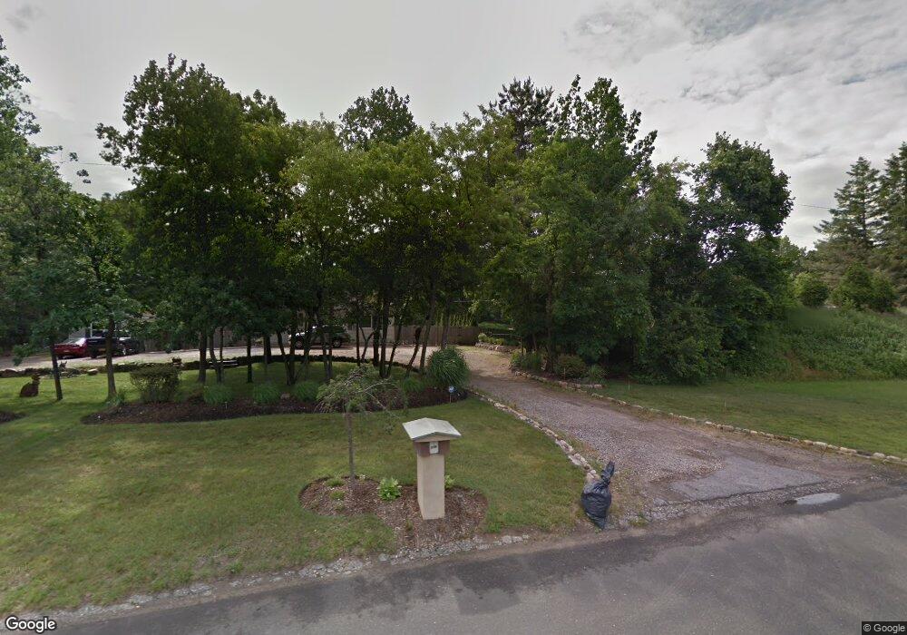
This home is located at 2162 William Floyd Pkwy, Ridge, NY 11961 and is currently estimated at $465,319, approximately $969 per square foot. 2162 William Floyd Pkwy is a home located in Suffolk County with nearby schools including Longwood Junior High School, Longwood Middle School, and Longwood Senior High School.
Ownership History
Date
Name
Owned For
Owner Type
Purchase Details
Closed on
Jun 1, 1999
Sold by
Kendall John
Bought by
Liere Patrick S
Current Estimated Value
Home Financials for this Owner
Home Financials are based on the most recent Mortgage that was taken out on this home.
Original Mortgage
$84,000
Outstanding Balance
$21,453
Interest Rate
6.9%
Mortgage Type
Purchase Money Mortgage
Estimated Equity
$443,866
Create a Home Valuation Report for This Property
The Home Valuation Report is an in-depth analysis detailing your home's value as well as a comparison with similar homes in the area
Home Values in the Area
Average Home Value in this Area
Purchase History
| Date | Buyer | Sale Price | Title Company |
|---|---|---|---|
| Liere Patrick S | $108,500 | Fidelity National Title | |
| Liere Patrick S | $108,500 | Fidelity National Title |
Source: Public Records
Mortgage History
| Date | Status | Borrower | Loan Amount |
|---|---|---|---|
| Open | Liere Patrick S | $84,000 | |
| Closed | Liere Patrick S | $84,000 |
Source: Public Records
Tax History Compared to Growth
Tax History
| Year | Tax Paid | Tax Assessment Tax Assessment Total Assessment is a certain percentage of the fair market value that is determined by local assessors to be the total taxable value of land and additions on the property. | Land | Improvement |
|---|---|---|---|---|
| 2024 | $6,302 | $1,375 | $800 | $575 |
| 2023 | $6,302 | $1,375 | $800 | $575 |
| 2022 | $5,839 | $1,375 | $800 | $575 |
| 2021 | $5,839 | $1,375 | $800 | $575 |
| 2020 | $5,945 | $1,375 | $800 | $575 |
| 2019 | $5,945 | $0 | $0 | $0 |
| 2018 | $4,417 | $1,375 | $800 | $575 |
| 2017 | $4,417 | $1,375 | $800 | $575 |
| 2016 | $4,374 | $1,375 | $800 | $575 |
| 2015 | -- | $1,375 | $800 | $575 |
| 2014 | -- | $1,375 | $800 | $575 |
Source: Public Records
Map
Nearby Homes
- 11 Patrick Ln
- 10 Patrick Ln
- 33 Highview Ln
- 19 Cedar Ridge Dr
- 349 Randall Rd
- 7 Highview Ln
- 8 Woodbrook Dr
- 40 Ridge Haven Dr
- 53 Ridge Haven Dr
- 323 Brownfield Dr
- 193 Berkshire Dr
- 324 Brownfield Dr
- 418 Randall Rd
- 147 Edinburgh Dr
- 145 Edinburgh Dr
- 144 Edinburgh Dr
- 201 Kingston Dr
- 28 Francis Mooney Dr
- 176 Canterbury Dr
- 215 Kingston Dr
- 2164 William Floyd Pkwy
- 2158 William Floyd Pkwy
- 2168 William Floyd Pkwy
- 32 Stony Hollow Ln
- 30 Stony Hollow Ln
- 34 Stony Hollow Ln
- 28 Stony Hollow Ln
- 31 Stony Hollow Ln
- 33 Stony Hollow Ln
- 24 Stony Hollow Ln
- 25 Stony Hollow Ln
- 36 Stony Hollow Ln
- 1 Farmhouse Dr
- 35 Stony Hollow Ln
- 8 Havendale Gate
- 22 Sandy Hollow Ln
- 11 Sandy Hollow Ln
- 2186 William Floyd Pkwy
- 7 Sandy Hollow Ln
- 1 Patrick Ln